Black Volta: The River That Draws Nations' Borders
From the air, the Black Volta looks like a line drawn by a careful hand across the map of West Africa. For roughly 200 kilometers after its source, it flows northeast -- counterintuitively away from the sea -- before bending south and beginning the long descent that defines borders between Burkina Faso and Ghana, then between Ivory Coast and Ghana, before finally crossing into Ghanaian territory alone. The French call it Mouhoun, and in Burkina Faso that name appears on maps, road signs, and regional administrations. But whatever name it carries, this river has done more to shape West African political geography than any treaty or colonial conference. At 1,352 kilometers, the Black Volta is the longest of the three tributaries that feed the Volta River system -- and for much of its course, it is the literal line where one country ends and another begins.
Born at the Roof of Burkina Faso
The Black Volta rises in the Cascades Region of southwestern Burkina Faso, near Mount Tenakourou -- at 749 meters, the highest point in the country. The landscape here is green and hilly, a surprise in a nation most people associate with flat Sahelian dust. Water seeps from the highlands and gathers into a stream that quickly becomes something more consequential. For its first 200 kilometers the river flows roughly north and east across Burkina Faso, carving through savanna woodland and collecting tributaries from the surrounding hills. Then it turns south, as if remembering where the ocean is, and begins the long journey that will carry it through three countries and two dams before it merges with the White Volta to feed Lake Volta, the largest man-made reservoir by surface area on Earth.
A Border Written in Water
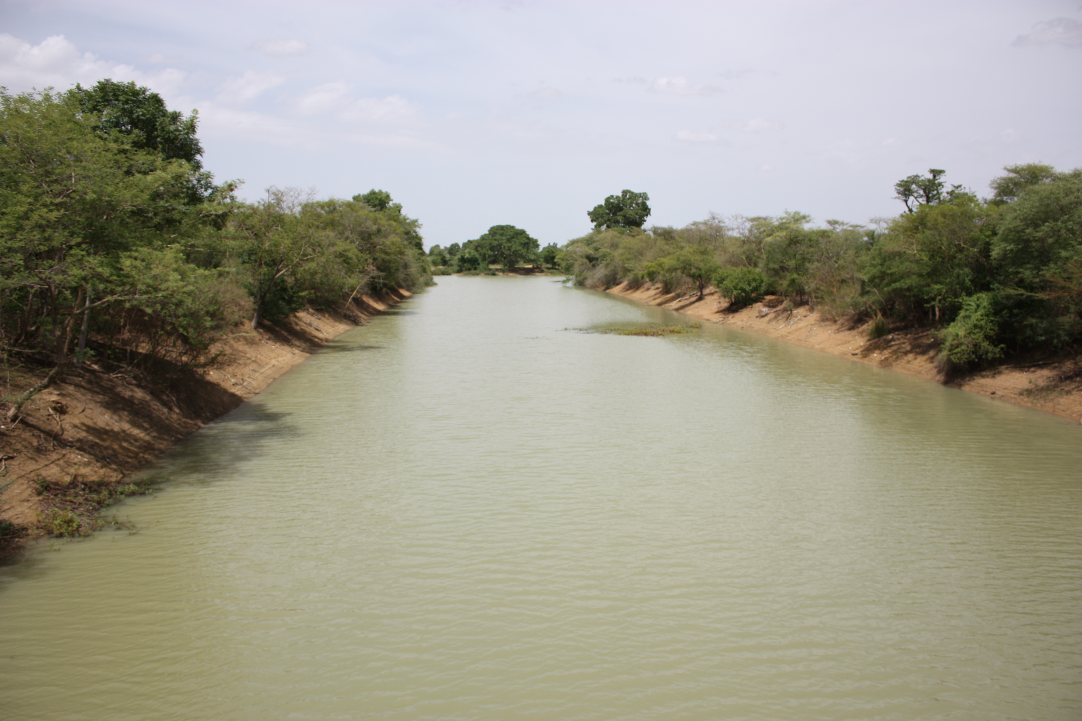
Rivers make convenient borders, and the Black Volta has been pressed into that service more thoroughly than most. After crossing western Burkina Faso, the river becomes the international boundary between Ghana and Burkina Faso for about 100 kilometers, a stretch where fishermen cast nets on one side and haul their catch onto another country's bank. Further downstream, the river briefly marks the border between Ghana and Ivory Coast before entering Ghana entirely. Inside Ghana, it continues to serve as a dividing line -- this time between the Savannah and Bono regions. For the communities that live along its banks, these borders are administrative abstractions; the river is the constant, the thing that waters crops, carries canoes, and floods predictably each rainy season.
The Gorge at Bui
Where the Black Volta cuts through rocky terrain near Bui in Ghana's Bono Region, the river narrows into a gorge that once sheltered one of West Africa's most significant hippo populations -- an estimated 250 to 350 animals, the only two populations of hippopotamus in Ghana. In 2008, the Ghanaian government began construction of the Bui Dam at this gorge, a 400-megawatt hydroelectric project built in collaboration with Chinese state-owned firm Sino Hydro. The dam reached full operation in December 2013, but its reservoir inundated 21 percent of Bui National Park and forced the relocation of over 1,200 people. The fate of the hippos became an international concern; it remains unclear whether viable habitat exists nearby for animals that cannot simply be moved. The dam generates power, but the gorge that made it possible held its own kind of irreplaceable energy.
Where Three Rivers Meet
The Black Volta does not reach the sea alone. In the ancient kingdom of Dagbon in northern Ghana, it merges with the White Volta to form the upper end of the Volta River system -- a drainage network that defines Ghana's geography as completely as the Nile defines Egypt's. The Red Volta, the third and smallest tributary, joins from the east. Together these three rivers feed Lake Volta, the 8,502-square-kilometer reservoir created by the Akosombo Dam in the 1960s. Burkina Faso was once called Upper Volta, named after this river system by French colonial administrators. The country changed its name in 1984, but the rivers kept theirs. From Mount Tenakourou to the confluence at Dagbon, the Black Volta carries more than water: it carries the sediment of centuries, the boundaries of nations, and the quiet insistence that geography, not politics, has the final word.
From the Air
The Black Volta's confluence with the White Volta is near 8.68N, 1.01W in northern Ghana. The river is a major visible water feature from altitude -- look for its distinctive southward bend after flowing northeast from Burkina Faso. The Bui Dam and reservoir are visible near 8.28N, 2.24W. Tamale Airport (DGLE) is approximately 80 km east of the river's course through Ghana. Sunyani Airport (DGSN) is roughly 150 km south of the Bui Gorge area. The river traces the Ghana-Burkina Faso border visibly from altitude, especially during the dry season when the surrounding savanna turns brown and the river's course stands out as a green corridor.