Blake Island
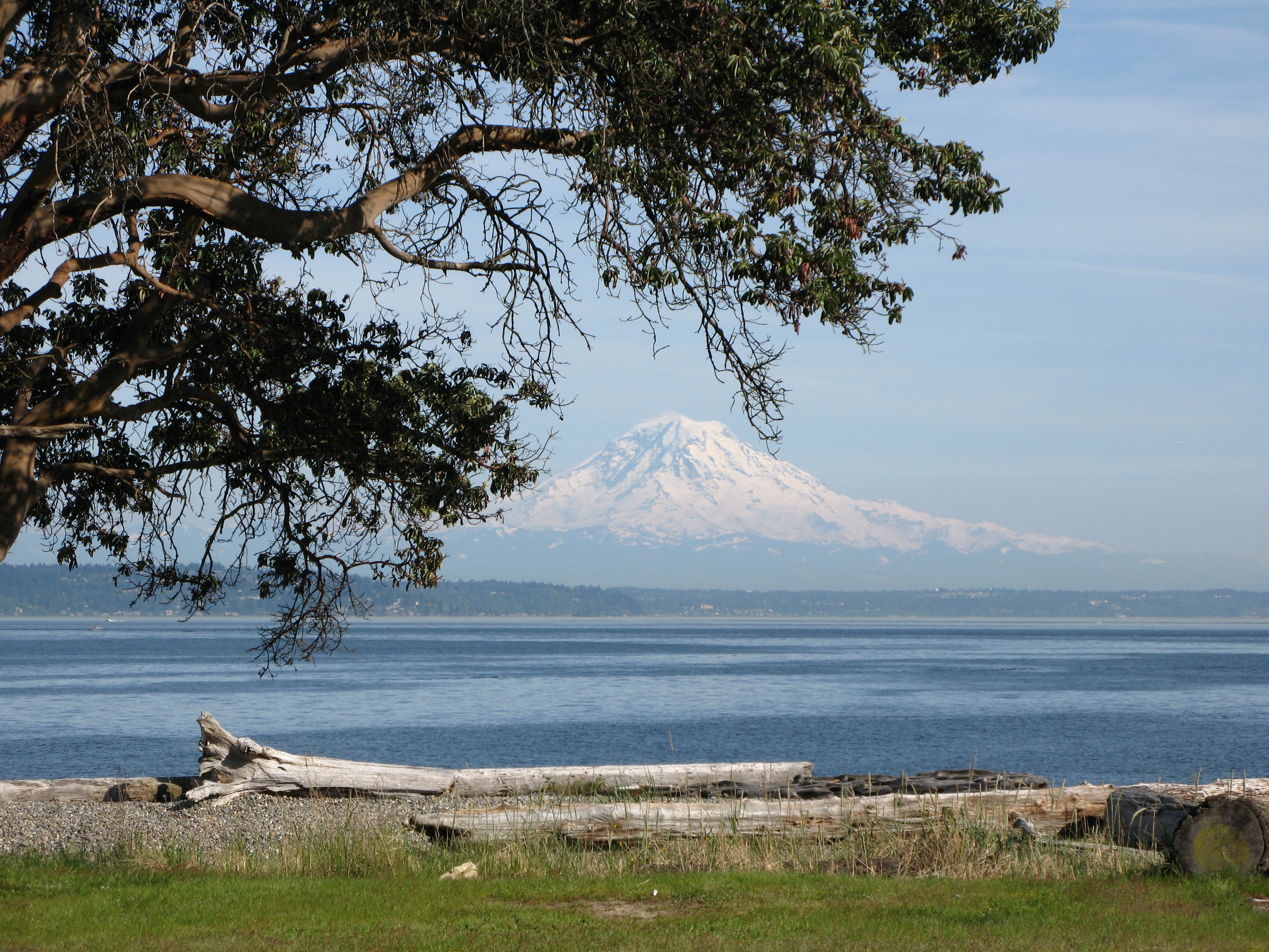
The forested island rises from Puget Sound, its beaches wild and its interior thick with second-growth cedar and fir. This is Blake Island, just 8 miles from downtown Seattle yet accessible only by boat - a 475-acre marine state park that feels far more remote than its distance suggests. Chief Seattle was born here, or so the widely-accepted tradition holds, on this island used for generations as a Suquamish camping ground. Today the beaches offer views of the Olympic Mountains to the west and the Seattle skyline to the east, a perspective that captures both the wildness that defined this region and the city that changed it.
Chief Seattle's Birthplace
The Suquamish people used Blake Island as a camping ground long before European explorers noted its existence. Tradition holds that Chief Seattle - Si'ahl in his native language, the leader for whom the city was named - was born here around 1790. His father was Schweabe, chief of the Suquamish, and his mother was Scholitza of the Duwamish. The child who would bridge two worlds, negotiating between his people and the settlers who transformed the region, first drew breath on this island in the Sound.
George Vancouver noted the island in 1792 but didn't name it. Charles Wilkes of the U.S. Exploring Expedition named it in 1841 for George Smith Blake of the Coast Survey. Locals knew it as Smuggler's Island - during Prohibition, its isolation made it a favored refuge for bootleggers running alcohol from Canada.
From Mansion to State Park
Seattle millionaire William Pitt Trimble purchased the island in the early 20th century, building a magnificent estate and renaming it Trimble Island for a time. The Camp Fire Girls held their first summer camp here in 1920, naming it Camp Sealth in honor of the chief's birthplace. But tragedy struck in 1929 when Trimble's wife drowned in Seattle, and the family abandoned the island.
During World War II, a Coastal Artillery unit garrisoned the decaying mansion. It burned during their occupation, leaving only foundations visible today. In 2008, a 76-year-old retired gas station owner finally admitted that he and a friend had accidentally set the fire as teenagers, trying to keep warm after their boat swamped in a storm. Washington made the entire island a state park in 1959, preserving both its natural character and its complicated history.
Wilderness at the City's Edge
Five miles of saltwater beach ring Blake Island, offering beachcombing opportunities that urban parks cannot match. The cold, clear waters support clams, oysters, and the geoducks that burrow deep in the sand. Crabs hide under rocks at low tide. Sea stars in improbable colors cling to exposed surfaces. Tide pools offer hours of exploration for those willing to time their visit with the tides.
Above the beaches, trails wind through forest that has regrown since 19th-century logging. The Perimeter Road takes about two and a half hours to walk, circumnavigating the island on bluffs above the beach. Deer, raccoons, and otters make their homes here. Harbor seals haul out on the shores, and visitors are cautioned to give seal pups space - only half survive their first year, and disturbance adds stress to an already challenging existence.
Arriving by Water
No ferry serves Blake Island - visitors arrive by private boat, kayak, or charter. The park offers 24 mooring buoys and 1,500 feet of dock space on a first-come basis, and on summer weekends they fill quickly. Kayakers launch from Manchester on the Kitsap Peninsula, the closest access point. The paddle rewards with eye-level views of Puget Sound's wildlife: harbor seals, sea lions, eagles, and the occasional orca passing through.
The island offers 44 campsites, three water trail sites reserved for kayakers and canoeists, and a group camp. Electricity is available for boats at the dock. Those who stay overnight experience the Sound at its quietest - ferry traffic distant, city lights visible across the water, the same stars that shone on Suquamish camps and the mansion that burned and the park that now preserves what remains.
From the Air
Located at 47.54N, 122.49W in central Puget Sound between Bainbridge Island to the north and Vashon Island to the south. The 475-acre island appears as a heavily forested oval, approximately 1 mile long. From altitude, look for the dock and mooring buoys on the eastern shore. The Seattle skyline is visible 8 miles to the east; the Kitsap Peninsula and Manchester boat launch are approximately 2 miles west. The island has no roads or regular ferry service - access is by private boat or kayak only.