Bolinas Lagoon
The lagoon sits directly on the San Andreas Fault. Every earthquake realigns the mudflats, shifts the channels, and reminds the harbor seals and shorebirds that their habitat exists at the pleasure of tectonic forces. Bolinas Lagoon, approximately 1,100 acres of tidal estuary in West Marin County, is part of the Greater Farallones National Marine Sanctuary and one of the most ecologically significant wetlands on the California coast. Its shallow waters and exposed mudflats support diverse populations of migratory birds, harbor seals, and marine invertebrates in a landscape shaped as much by geology as by biology.
Where the Fault Runs Through
The San Andreas Fault bisects the lagoon, running northwest through its center. The 1906 earthquake, which ruptured along 296 miles of the fault, dramatically altered the lagoon's geography. Future earthquakes will do the same. This tectonic instability gives the lagoon a quality of impermanence that distinguishes it from more geologically stable estuaries. The channels change. The mudflats rearrange. The shoreline shifts. The lagoon is not a static body of water but a living geological feature, shaped by the same forces that built the California coastline.
Seals and Shorebirds
Harbor seals use the lagoon's protected mudflats as haul-out and pupping sites, their spotted gray bodies visible from the Highway 1 overlook above. The lagoon's shallow waters and tidal flats provide feeding habitat for great blue herons, great egrets, snowy egrets, and dozens of migratory shorebird species. The estuary functions as a nursery for fish and invertebrates, with eelgrass beds providing shelter for juvenile species. In 1974, historians Aubrey Neasham and William Pritchard documented the lagoon's significance, contributing to the protections that now cover it as part of the national marine sanctuary.
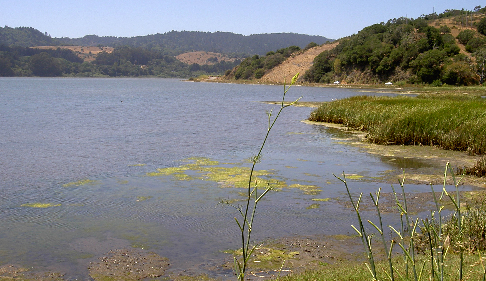
The View from Highway 1
Drivers on Highway 1, the Pacific Coast Highway, pass directly above Bolinas Lagoon on the road between Stinson Beach and the town of Bolinas. The overlook offers one of the most dramatic views on the Marin Coast: the lagoon's silver surface reflecting the sky, the dark ridge of the Bolinas mesa to the west, and Mount Tamalpais rising to the north. At low tide, the mudflats emerge in patterns that shift with every tidal cycle. The lagoon is a landscape painting that never looks the same way twice.
From the Air
Bolinas Lagoon is at 37.92N, -122.68W on the Marin County coast, visible from the air as a large tidal estuary at the base of the Point Reyes peninsula. The San Andreas Fault runs through the lagoon. Highway 1 traces the eastern shore. Nearest airport: Gnoss Field (KDVO) 18nm north.