Boma, Democratic Republic of the Congo
Henry Morton Stanley staggered into Boma on August 9, 1877, having crossed the entire African continent from east to west. He was emaciated, exhausted, and three years into an expedition that had killed most of his companions. Boma, a trading post on the north bank of the Congo River about a hundred kilometers upstream from the Atlantic, was where his ordeal ended. It was also where a far larger ordeal -- for millions of Congolese people -- was about to begin. Within a decade, this modest river port would become the capital of King Leopold II's Congo Free State, the administrative center of one of history's most brutal colonial enterprises.
Traders Before the Flag
Boma's story begins centuries before Leopold. European merchants established the settlement in the sixteenth century as a trading post -- an entrepot where goods changed hands between the interior and the coast. Dutch traders dominated the commerce, though British, French, and Portuguese firms also maintained warehouses there. The slave trade was central to this economy. No European power formally claimed sovereignty over Boma, though Portugal occasionally asserted its own. The town's nine local kings governed their own affairs, and for three centuries Boma existed in the ambiguous space between African authority and European commercial interest. A remarkable 1898 photograph by H. A. Shanu shows these nine kings of Boma together -- a last portrait of indigenous leadership on the eve of its displacement.
Capital of Leopold's Congo
In 1884, the people of Boma were compelled to grant a protectorate of their territory to the International Association of the Congo, a body controlled by European powers. Two years later, Leopold II of Belgium designated Boma as the capital of his newly established Congo Free State. The governor-general's residence was built here, along with Fort de Shinkakasa, a military fortification on the Congo River. From this quiet river town, Leopold administered a private domain of nearly a million square miles. The Congo Free State was his personal property, not a Belgian colony, and it operated through a system of forced labor that terrorized the Congolese population into harvesting rubber and ivory. Boma served as the seat of this enterprise for nearly four decades -- from 1886 until 1923, when the capital was moved to Leopoldville, since renamed Kinshasa.
A River Deep Enough for Oceans
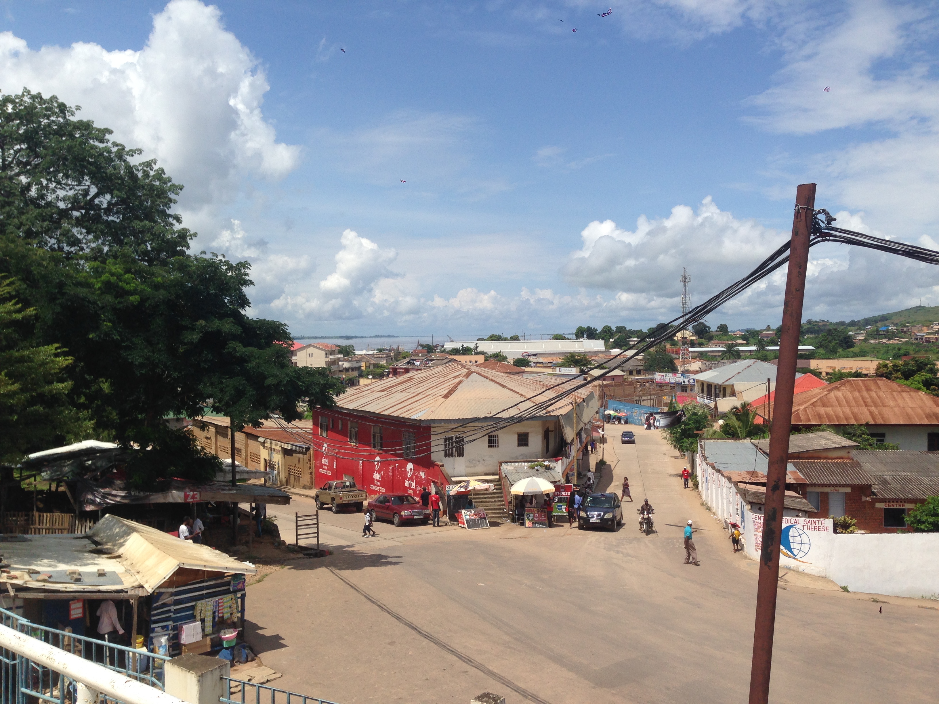
Boma's location made it strategically indispensable. The Congo River at this point is extraordinarily wide and deep -- deep enough for ocean-going vessels to navigate a hundred kilometers inland from the Atlantic. This made Boma the second-largest port in the Congo after Matadi, handling exports of tropical timber, bananas, cocoa, and palm products. Between 1889 and 1984, a narrow-gauge railway -- the Mayumbe line from Tshela -- connected the port to the interior. Built originally at 610 mm gauge, it was converted to 600 mm in 1932. The railway is gone now, but the river remains. Ships still dock at Boma, and the town's function as a transit point between the Congo's vast interior and the wider world endures much as it has for centuries.
The Church That Survived Everything
Boma's oldest church still stands -- the oldest in the entire Democratic Republic of the Congo. Photographed in 1899 during the Congo Free State period and again in 2007, it has persisted through colonial rule, independence, dictatorship, and civil war. The governor-general's residence also survives, a relic of the era when Boma was the most important administrative center between the Atlantic and Stanley Pool. Today the town has a population estimated at around 162,500 and sits adjacent to the Angolan border. Its climate is tropical wet and dry, with a recorded temperature range between 10 and 41 degrees Celsius. The extremes of its weather mirror the extremes of its history -- a place where the ambitions of European kings and the resilience of Congolese communities collided, and where the physical evidence of both endures along the riverbank.
From the Air
Located at 5.85S, 13.05E on the north bank of the Congo River in Kongo Central Province, DRC. Boma is approximately 100 km upstream from the river's mouth at the Atlantic. The town is visible from altitude as an urban area along the wide, distinctive curve of the Congo River. The Angolan border runs immediately to the south. Fort de Shinkakasa and the old colonial port area are landmarks along the riverfront. Nearest airport: Boma Airport. Matadi, the larger port city, lies approximately 80 km upstream to the east.