Boston Freedom Trail
The red brick line painted on Boston's sidewalks connects sixteen sites where the American Revolution was conceived, planned, and launched. Follow the Freedom Trail from Boston Common to Bunker Hill, and you walk through the landscape where Samuel Adams organized resistance, where Paul Revere hung warning lanterns, where British soldiers fired into a crowd of colonists, and where the first major battle of the war bled the empire white. This is not abstract history - the buildings still stand, many of them in use. The Old North Church still holds services in the sanctuary where 'one if by land, two if by sea' signaled the British advance. The Old South Meeting House, where the crowd gathered before the Tea Party, hosts programs on free speech. Faneuil Hall, the 'Cradle of Liberty,' remains a marketplace and gathering place. Boston made the Revolution inevitable, and the Freedom Trail makes that transformation tangible.
Revolution of Minds
For more than a century before the first shots were fired, Boston colonists had developed habits of self-governance that made submission to British authority increasingly intolerable. Puritan settlers established town meetings, elected their own ministers, and governed themselves with minimal interference from London. The sites at the Freedom Trail's beginning reflect this heritage: Boston Common, where colonists drilled their militias and grazed their cattle since 1634; the Park Street Church graveyard where Samuel Adams, Paul Revere, and victims of the Boston Massacre lie buried; King's Chapel, the first Anglican church in Boston, whose congregation maintained loyalty to the crown even as revolution swept the city. John Adams later observed that 'the Revolution was effected before the war commenced. The Revolution was in the minds and hearts of the people.' These sites show where those minds and hearts were formed.
The People Revolt
The middle section of the Freedom Trail marks where colonial resentment became active resistance. At the Old South Meeting House in December 1773, five thousand colonists gathered to debate what to do about tea ships in the harbor. When Governor Hutchinson refused to let the ships leave without paying the tax, Samuel Adams declared that the meeting could do nothing more to save the country. That night, men disguised as Mohawk Indians boarded the ships and dumped 342 chests of tea into the harbor. At the Old State House, the seat of British colonial government, the Declaration of Independence was first read to Bostonians from the balcony in July 1776. Below, a circle of cobblestones marks where British soldiers killed five colonists in the Boston Massacre of 1770 - an event that Adams and Revere transformed through propaganda into a rallying cry for independence.
Neighborhood of Revolution
Boston's North End was home to the artisans who formed the Revolution's backbone - men like Paul Revere, a silversmith whose modest house on North Square still stands, the oldest remaining structure in downtown Boston. Revere was more than a midnight rider; he was a courier, organizer, and propagandist who connected the scattered cells of resistance. On April 18, 1775, he arranged for sexton Robert Newman to hang lanterns in the steeple of Old North Church - the signal that sent Revere and William Dawes riding to warn Lexington and Concord. By morning, colonial militia had assembled, and the war had begun. Copp's Hill Burying Ground, where British batteries fired on Charlestown during the Battle of Bunker Hill, offers views across the harbor to where the bloodiest battle of the early war unfolded.
Boston Goes to War
The Freedom Trail crosses the Charles River to Charlestown, where the Revolution became a shooting war. On June 17, 1775, British forces assaulted colonial positions on Breed's Hill (misnamed Bunker Hill in history). 'Don't fire until you see the whites of their eyes,' Colonel William Prescott supposedly commanded, though ammunition shortage not tactical preference dictated the order. The British eventually took the hill but at staggering cost - nearly half their assault force killed or wounded. Among the colonial dead was Dr. Joseph Warren, revolutionary leader, killed by a musket ball to the head. The 221-foot granite obelisk of Bunker Hill Monument commemorates the battle. Nearby, USS Constitution - 'Old Ironsides' - represents the young nation's determination to defend itself, having never lost a battle in the War of 1812.
Walking the Trail
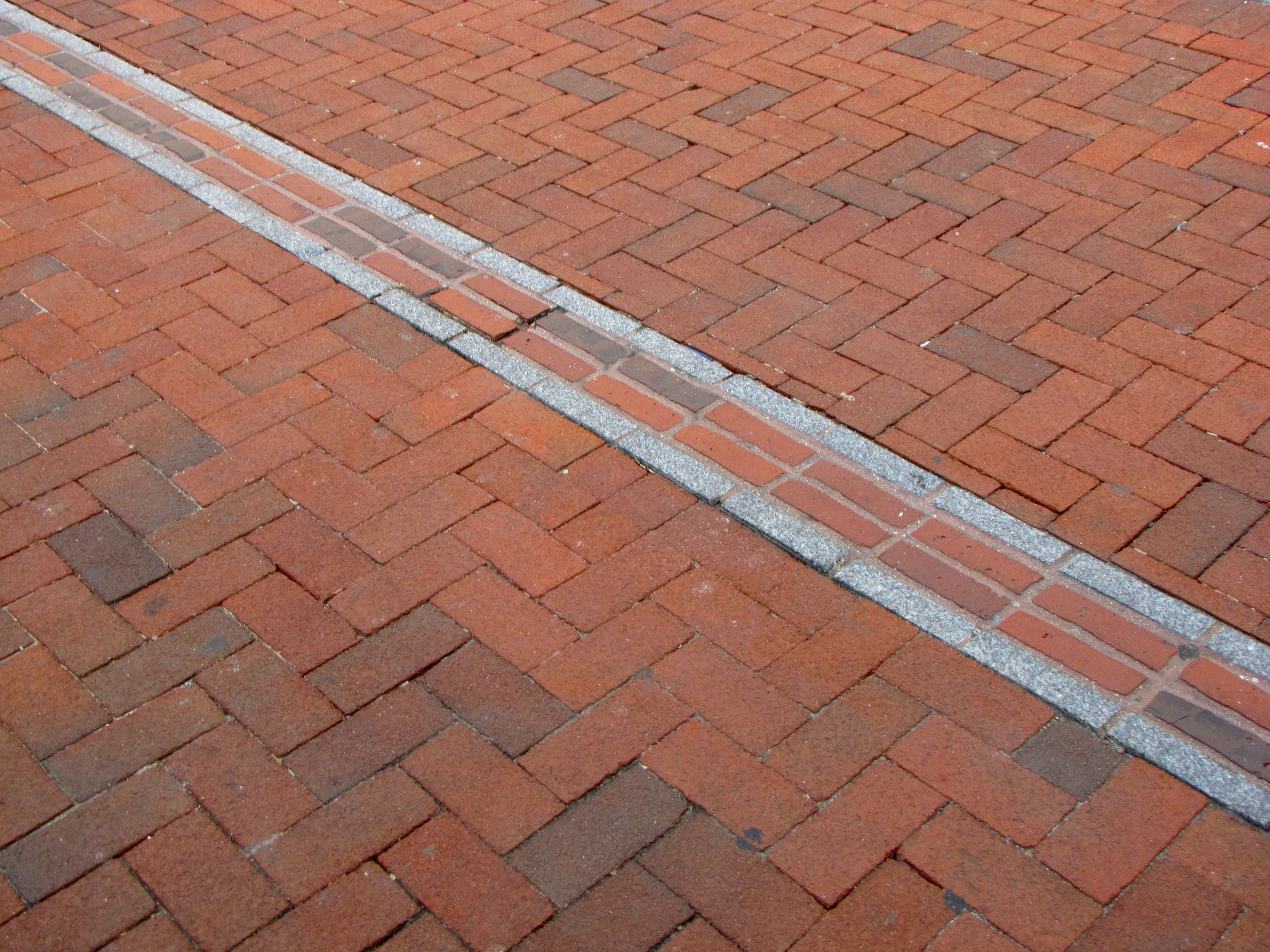
The Freedom Trail covers 2.5 miles from Boston Common to the Charlestown Navy Yard. A painted red line or red brick path marks the route through downtown streets. National Park Service rangers lead free 90-minute walking tours that cover the core sites between the Common and the Old North Church. Self-guided walks allow flexibility to explore individual sites at length - the Old South Meeting House and Old State House charge admission, while most other sites are free. The walk takes two to four hours depending on how many interiors you visit. The Park Street T station on the Red and Green lines provides the easiest access to the trail's beginning. Summers bring crowds; spring and fall offer better conditions for walking and photographing. Remember that you're walking through a living city - these streets still pulse with commerce, commuters, and the ongoing American experiment in self-governance.
From the Air
Located at 42.36°N, 71.06°W in downtown Boston, Massachusetts. The trail is not visible from altitude but runs from Boston Common (visible as a green rectangle in the city center) northeast through downtown to Charlestown (visible across the Charles River). Boston Logan International Airport (BOS) is 3 miles east across the harbor. The Bunker Hill Monument obelisk may be visible in Charlestown.