Bosumpra Cave
The name tells you what this place meant before archaeologists arrived. In Akan, abosom are the lesser gods, spirits who inhabit rivers and lakes. Bosumpra Cave was the home of Obosom Pra, the tutelary deity of the Pra River -- one of the sons of the supreme Sky God, according to Akan cosmology. Long before anyone dug into its floor with trowels and brushes, this rock shelter on the Kwahu Plateau was sacred ground. What the digging revealed was that people had been treating it as such for over thirteen thousand years.
The Pioneer's Trench
In 1943, British archaeologist Thurstan Shaw drove the first excavation trench into Bosumpra's floor. What he found in just 1.5 meters of depth told a story with two chapters: a long prehistoric period defined by thousands of tiny stone tools -- geometric microliths -- and small quantities of decorated pottery, followed by a later historical period marked by iron and a different ceramic tradition. Shaw's work made Bosumpra the first site of its kind excavated in Ghana, a distinction it still holds. Three decades later, Andrew Smith returned in 1973 and 1974 with radiocarbon dating technology Shaw had lacked. Smith's dates bracketed the upper occupation between 4500 BC and AD 1400, but subsequent analysis pushed the earliest human presence back further -- to at least the mid-eleventh millennium BC.
Pottery Before Farming
Some of the oldest pottery in sub-Saharan West Africa comes from this cave. Stratigraphic evidence shows that by the tenth millennium BC, the people living at Bosumpra were producing solidly manufactured ceramics decorated with channeling and impressed patterns -- a technique known as peigne filete rigide. This matters because it challenges a long-held assumption in archaeology: that pottery follows agriculture. At Bosumpra, people were making and firing clay vessels thousands of years before farming reached this part of Africa. They were also producing partially polished stone celts and an array of geometric microliths, building a toolkit that persisted with remarkable continuity for millennia. The assemblage differs from contemporary sites in Central Africa, pointing to a distinct regional tradition rooted in the Kwahu Plateau itself.
Thirteen Millennia of Continuity
What makes Bosumpra unique in Ghana is not any single artifact but the sheer length of its archaeological record. The site was occupied periodically from at least 11,000 BC through the seventeenth century AD -- the longest continuous sequence yet found in the country, spanning roughly 12,500 years. People used the same stone tool traditions across that vast stretch of time, even as the world outside the cave changed dramatically. During the Atetefo period, roughly 1200 to 1600 AD, stone tools continued alongside early evidence of metallurgy. Iron appeared but did not replace lithics; the two technologies coexisted, knowledge of both transmitted across generations. This persistence is itself remarkable -- at most archaeological sites, metal displaces stone quickly. At Bosumpra, the old ways held on. Even as the Akan peoples established their influence across the plateau in the late seventeenth century, the cave's material culture shows more continuity than disruption, suggesting that the people living here adapted to political change without abandoning their technological heritage.
A Shrine, Then a Church
Bosumpra's spiritual life did not end with the Stone Age. The cave served as a shrine to Obosom Pra, the deity of the Pra River, whose headwaters lie nearby in the Kwahu region. In Akan religion, the Pra's spirit ranked among the principal abosom of the Guan pantheon -- a god of rivers and the forces they carry. The rock shelter that had been a workshop and home for prehistoric peoples became, in its later centuries, a place of devotion. Today the cave serves as a Christian church, its sacred function transformed but unbroken. The shelter sits at roughly 613 meters above sea level, northeast of the modern town of Abetifi, covering about 240 square meters of floor space -- modest in size, enormous in what it contains.
From the Air
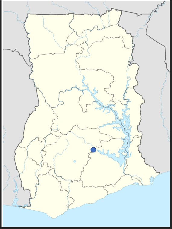
Located at 6.85N, 0.80W on the Kwahu Plateau in south-central Ghana, northeast of the town of Abetifi. The cave sits at approximately 613 m (2,011 ft) elevation on the plateau escarpment. From the air, look for the dramatic scarp edge of the Kwahu Plateau -- the cave is not visible from altitude, but the escarpment landscape is unmistakable. Nearest airport: Kumasi (DGSI) approximately 100 km to the west. Accra International (DGAA) lies roughly 180 km to the southeast. The plateau's bold erosional scarps provide strong visual landmarks at 3,000-6,000 ft AGL.