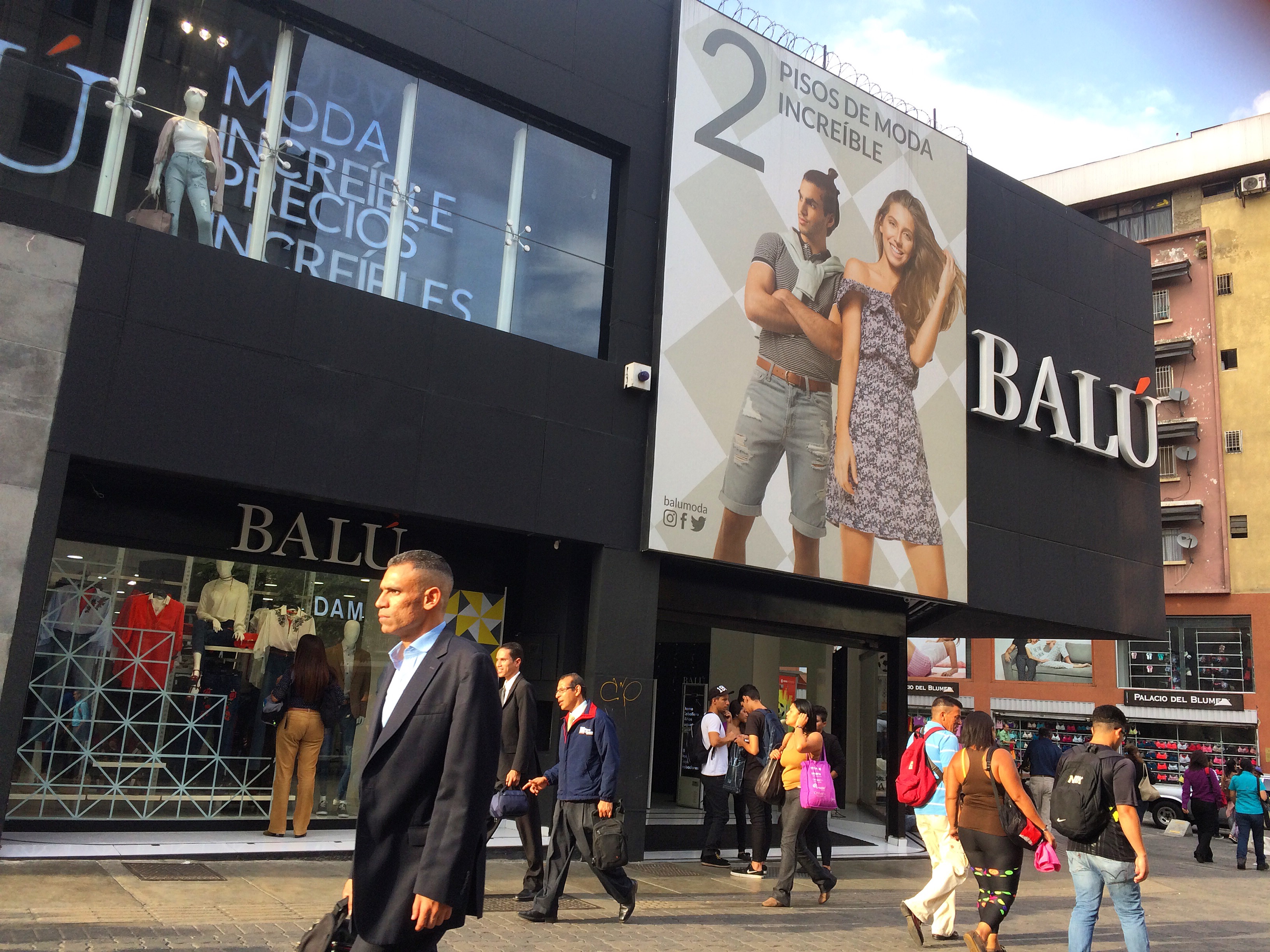
Boulevard of Sabana Grande
Until the early twentieth century, the people of Caracas called it Calle Real — Royal Street — because it was the main road through town. Then it became Abraham Lincoln Avenue, and cars took over. By the time the newspaper El Nacional suggested in 1968 that the avenue's destiny was to belong to pedestrians again, the idea of banning automobiles from a major Caracas thoroughfare still seemed radical. It happened anyway. Today the Boulevard of Sabana Grande stretches through eastern Caracas as a tree-shaded, pedestrian-only corridor where the city's commercial energy, architectural heritage, and public art converge in a single walkable line.
From Royal Street to Lincoln Avenue
Sabana Grande's transformation from colonial road to modern boulevard tracks the broader arc of Caracas itself. The construction of the Caracas Metro system made the boulevard's land strategically valuable: three metro stations — Plaza Venezuela, Sabana Grande, and Chacaíto — now anchor the district and funnel commuters through its length. But prosperity brought jurisdictional confusion. Through the 1990s, Caracas Metro and the Libertador municipality disputed responsibility for maintaining the boulevard, and neglect followed. Walkways cracked. Vendors crowded the space without organization. It was not until 1994 that the metro authority formally handed administration to the municipality, and not until 2007 that the Venezuelan government, recognizing the boulevard's historical value, commissioned the state oil company PDVSA and the municipality to carry out a proper recovery.
Nine Heritage Properties and a Missing Architect
When PDVSA Centro de Arte La Estancia began rehabilitating the boulevard in 2011, workers identified nine heritage properties along just the second section of the pedestrian promenade. Most of the architectural legacy dates to the twentieth century — modernist buildings that defined Caracas during its oil-boom era of ambitious construction. But some structures reach further back: the Immaculate Conception Church of the Recreo dates to the nineteenth century and stands as one of the boulevard's oldest surviving landmarks. Not all of this heritage has been properly documented. As of 2019, the architect of the Araure Building remained unknown, even though the building had been officially declared part of the Architectural Heritage of Caracas. The boulevard's history, it turns out, is partly a mystery its own city has yet to solve.
Sculpture in the Open Air
PDVSA La Estancia's rehabilitation effort aimed to connect art with public space, and the boulevard became the canvas. Sculptures line the promenade, some installed during the 2011 renovation and others added in the years since. The artwork Volumen, by Venezuelan sculptor Francisco Narváez, was not originally placed on Sabana Grande but was later incorporated into what the planners called the boulevard's "urban and artistic furniture." Other pieces have been removed over the years, making the boulevard's sculpture collection a living, shifting gallery rather than a fixed installation. Walking its length, you encounter art the way art was meant to be encountered — unexpectedly, between a café and a bookshop, under the shade of trees that have outlasted several governments.
The Birds of Sabana Grande
Perhaps the most surprising thing about this commercial corridor is what it shelters indoors. The Boulevard of Sabana Grande is home to the William Phelps Ornithological Collection, the most important collection of its kind in Latin America. Named for the American-born Venezuelan naturalist William Henry Phelps, who spent decades cataloging the bird species of Venezuela, the collection represents an extraordinary concentration of scientific knowledge in the middle of a shopping district. It is the kind of juxtaposition that defines Caracas: a city where you can browse handbags and study hummingbird taxonomy within the same block, where commerce and scholarship share not just a neighborhood but a street.
From the Air
Located at 10.489°N, 66.874°W in eastern Caracas. The boulevard runs east-west through the Sabana Grande district, identifiable from the air as a tree-lined pedestrian corridor flanked by mid-rise commercial buildings. The three metro stations along its length are below ground and not visible from altitude. Nearest major airport: Simón Bolívar International Airport (SVMI/CCS), approximately 23 km to the northwest. The Caracas valley, hemmed in by El Ávila to the north, provides clear visual orientation.