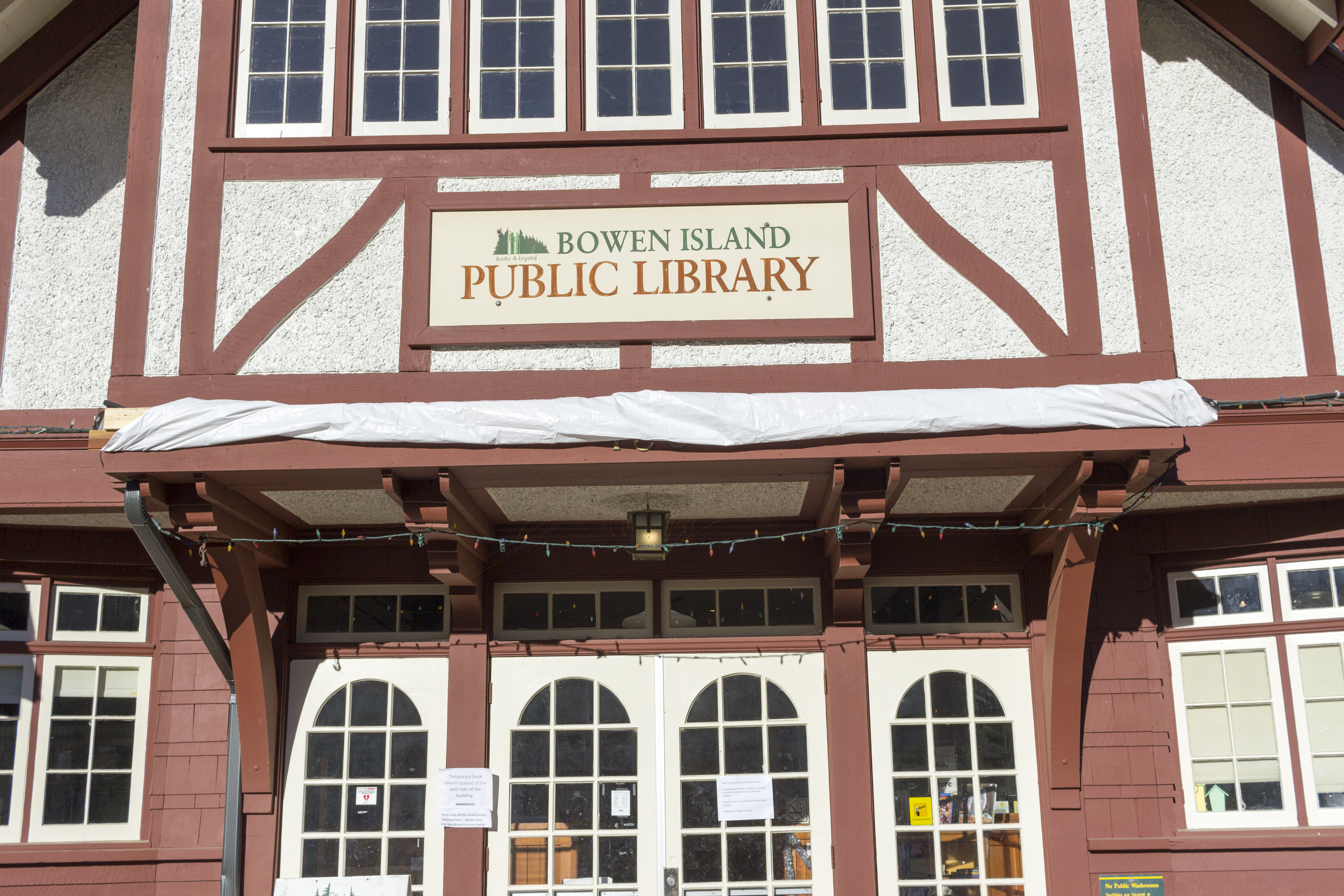
Bowen Island
The Queen of Capilano pulls away from Horseshoe Bay, and somewhere in that twenty-minute crossing, something shifts. The glass towers of Vancouver recede into haze. The cell phone signals grow spotty. By the time the ferry slides into Snug Cove, passengers have already begun to decompress, shoulders dropping, breath deepening. This is Bowen Island, a small municipality at the entrance to Howe Sound that has become Vancouver's favorite escape valve. There are no hotels here, no campgrounds, just a scattering of bed and breakfasts hidden among the trees. The shops along the main street sell crafts and curiosities rather than necessities. And when the last ferry departs at 10:05 PM, the island settles into a quiet that city dwellers have forgotten exists.
The Art of the Day Trip
For most Vancouverites, Bowen Island represents a day trip, a quick reset when city life grows overwhelming. The routine has been refined over generations: catch the ferry at Horseshoe Bay, wander the shops at Snug Cove, rent a kayak to paddle the protected waters, perhaps hike to Killarney Lake and back before the afternoon ferry. Some bring picnic supplies, spreading blankets on one of the small beaches scattered around the island. Others settle into a restaurant patio, watching pleasure boats motor past. The island asks nothing of its visitors except that they slow down, and most find this easy to do.
Climbing Mount Gardner
For those seeking more than relaxation, Mount Gardner offers a proper challenge. The trail begins three kilometers from Snug Cove on Mount Gardner Road, ascending through dense forest to a summit 719 meters above sea level. The path stretches eleven kilometers, demanding commitment and preparation from those who attempt it. But the reward matches the effort: on clear days, the view encompasses the Strait of Georgia, the distant peaks of Vancouver Island, and the urban sprawl of Greater Vancouver laid out like a circuit board far below. Allow a full day and carry plenty of water; there are no services along the way.
Crippen Regional Park
Not everyone comes to Bowen seeking strenuous exertion. Crippen Regional Park offers gentler trails through forests and along shorelines, hikes measured in hours rather than the full day Mount Gardner demands. The Dorman Point Trail begins at the end of Snug Cove beach, climbing to viewpoints overlooking the harbor and the entrance to Howe Sound. The path to Killarney Lake passes through forest and over a fish ladder, with a four-kilometer loop circling the lake itself. These trails welcome families and casual walkers, providing just enough wilderness to feel transported without requiring athletic commitment.
The Island Way
Bowen Island operates on its own logic. There are no taxis, and the bus service runs infrequently. Yet locals report a strong culture of hitchhiking, thumbs raised confidently along roads where drivers expect them. The information center sits a minute's walk from the ferry dock, dispensing maps and advice to newcomers. Artist studios and galleries cluster at Artisan Square, a short walk from the terminal. And if mechanical problems strand the Queen of Capilano, stranding visitors overnight, the islanders simply accommodate them, offering spare beds in a community where hospitality has become second nature.
From the Air
Located at 49.38N, 123.38W at the entrance to Howe Sound. No airport on island; nearest is Vancouver International (CYVR, 20nm SE) and Vancouver Harbour (CXH, 10nm SE) for floatplanes. The island appears from altitude as a roughly oval forested landmass with Snug Cove as a distinctive notch on the southeast shore. The ferry route from Horseshoe Bay is visible as a short crossing at the mouth of Howe Sound.