Brahmaputra River
The river has so many names that it seems to resist being pinned down. In Tibet, where it begins as glacial meltwater near sacred Mount Kailash, it is the Yarlung Tsangpo. Entering India through the gorges of Arunachal Pradesh, it becomes the Siang, then the Dihang. Reaching the vast floodplains of Assam, it takes the name the world knows -- the Brahmaputra, Sanskrit for "son of Brahma." Crossing into Bangladesh, it transforms again into the Jamuna before merging with the Ganges and emptying into the Bay of Bengal. This shape-shifting identity suits a river that is itself constantly in motion: braiding, splitting, migrating across its floodplain, swallowing islands and building new ones. The Brahmaputra is the 9th largest river on Earth by discharge, the 15th longest, and one of the most volatile waterways on any continent.
Born on the Roof of the World
The Brahmaputra begins at the Angsi Glacier on the northern side of the Himalayas, in Burang County of Tibet, near Mount Kailash and Lake Manasarovar -- sites sacred to Hindus and Buddhists alike. As the Yarlung Tsangpo, it flows eastward for nearly 1,100 kilometers across the Tibetan Plateau at an average elevation above 4,000 meters. The landscape is austere: high desert, thin air, monasteries perched on valley walls. Then, near the peaks of Namcha Barwa and Gyala Peri, the river makes one of the most dramatic turns in geography -- bending sharply northward, then southwest, plunging through the Yarlung Tsangpo Grand Canyon. The gorge is deeper than Arizona's Grand Canyon, with walls rising more than 5,000 meters on each side. It was so remote that the Tsangpo's identity as the upper Brahmaputra was not confirmed until explorers reached it between 1884 and 1886.
A River That Walks
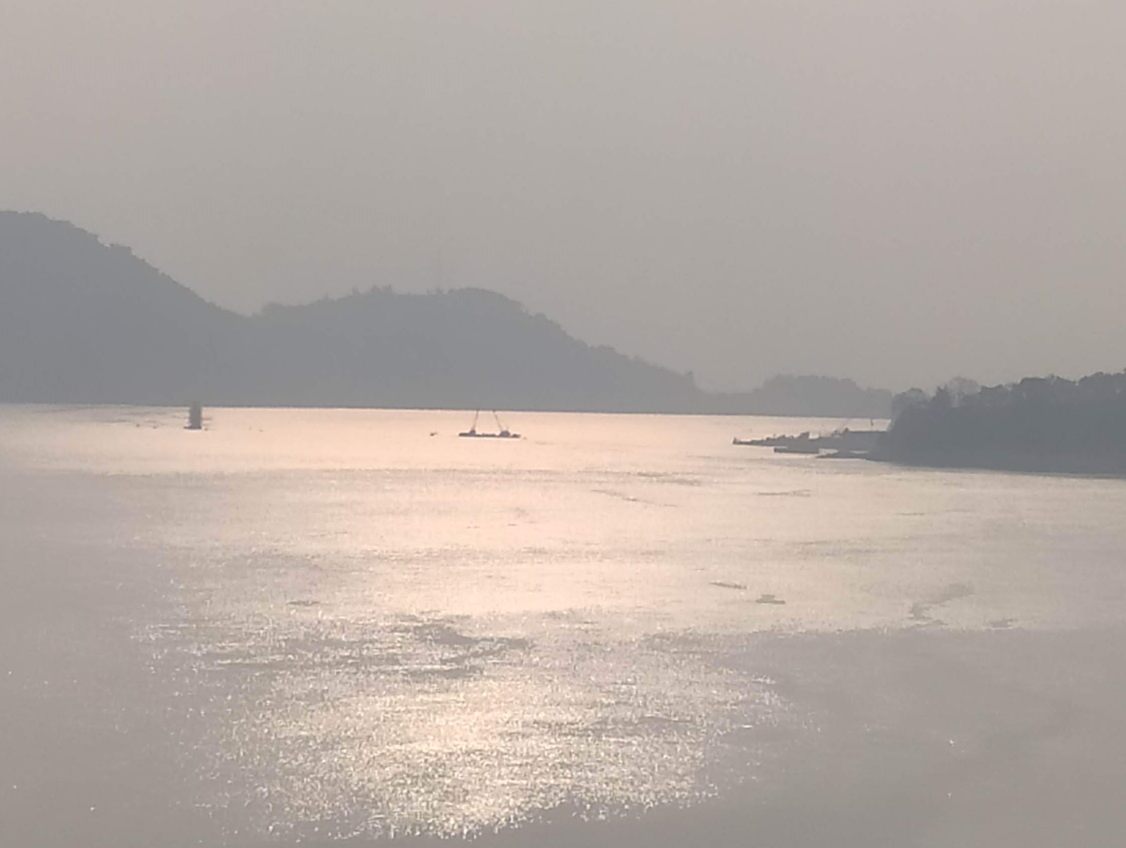
What makes the Brahmaputra extraordinary is not just its size but its restlessness. Over the past 250 years, the river's main channel has migrated roughly 80 kilometers westward across its floodplain, abandoning its old course -- still visible on maps as the Old Brahmaputra -- and carving new paths through the soft alluvial soil of Assam and Bangladesh. This is a braided river, meaning it does not flow in a single channel but spreads into a shifting web of streams separated by sandbars and temporary islands called chars. These chars are home to some of the most precarious communities on Earth. Roughly 600,000 people live on the Brahmaputra's riverine islands, farming land that the river might reclaim in a single monsoon season. The river is also one of the few in the world that exhibits a tidal bore -- a wave that travels upstream from the sea, a visible reminder that even a river this powerful answers to larger forces.
The Flood That Feeds and the Flood That Takes
For the 130 million people who live in the Brahmaputra's delta, flooding is not an aberration but a rhythm. Each monsoon, from June through October, Himalayan snowmelt and torrential rainfall swell the river to many times its dry-season volume. Normal flooding is essential: it deposits fresh sediment across the plains, replenishing the soil and sustaining the rice paddies and fisheries that feed the region. Two of the three seasonal rice varieties grown here -- aus and aman -- cannot survive without floodwater. But when the floods exceed their normal bounds, the destruction is catastrophic. Entire villages disappear. Crops drown. Deforestation in the upper watershed has worsened the cycle, increasing siltation and flash flooding while degrading critical habitats downstream. Kaziranga National Park, home to the world's largest population of Indian one-horned rhinoceroses, lies in the Brahmaputra's middle floodplain in Assam and faces regular inundation that both sustains its grasslands and threatens its wildlife.
Sacred Waters, Contested Banks
Most rivers on the Indian subcontinent carry female names. The Brahmaputra is one of the rare exceptions -- a masculine river, the son of the creator god. Its lower reaches are sacred to Hindus, and the river carries religious significance from its Tibetan source near Mount Kailash to its final dissolution into the Bay of Bengal. But sanctity has not spared it from geopolitics. The Brahmaputra flows through three countries, and China's dam-building on the Tibetan stretch of the Yarlung Tsangpo has raised alarm in both India and Bangladesh about downstream water flows. Bridges, long absent from this enormous waterway, have proliferated in recent decades: India has built multiple crossings in Assam, including the Bhupen Hazarika Setu, which at 9.15 kilometers spans the Lohit River near Sadiya and is one of the longest bridges in the country. Bangladesh's Bangabandhu Bridge spans the Jamuna, connecting the divided halves of a nation that owes its fertile existence to the very river that periodically destroys it.
The View from Above
From altitude, the Brahmaputra reveals what ground-level experience only hints at. In Tibet, it is a bright thread winding through brown plateau. In the gorges, it vanishes beneath cloud and canopy. But in Assam, the river explodes into visibility -- a braided expanse of silver channels, tan sandbars, and green islands stretching 10 kilometers wide. During monsoon, the floodplain becomes an inland sea, settlements appearing as tiny raised platforms surrounded by water in every direction. Downstream, where the Brahmaputra joins the Ganges to form the world's largest river delta, the landscape fractures into an intricate web of waterways, mangrove, and cultivated land. Kangchenjunga, the world's third-highest peak at 8,586 meters, stands within the basin -- this river drains some of the most extreme topography on Earth, carrying the Himalayas, grain by grain, to the sea.
From the Air
The Brahmaputra's coordinates near Guwahati, Assam, are approximately 26.20N, 91.75E. The river is visible from high altitude across much of its course, especially the wide braided sections in Assam where it can be 10+ km across. Lokpriya Gopinath Bordoloi International Airport (VEGT) in Guwahati is the major hub along the Indian stretch. Other nearby airports include Dibrugarh (VEMN) and Tezpur (VETZ). In Bangladesh, Hazrat Shahjalal International Airport (VGHS) in Dhaka lies near the lower Brahmaputra (Jamuna). The river is best viewed during the dry season (November-March) when channels and sandbars are clearly defined. During monsoon (June-October), the floodplain merges into a vast sheet of water. From above, the braided channel pattern is one of the most striking river features visible from flight altitude anywhere in the world.