Brasília International Airport
Before there was a Brasília, there was a runway. In October 1955, a year before construction began on the new capital, a crew of workers stepped off a plane onto a 2,700-meter dirt strip on the Central Plateau. Their terminal was a makeshift shack with cob walls and a roof thatched from buriti palm leaves. They had come to build a city where only savanna stretched in every direction. The airport they arrived on came first, out of necessity - you cannot found a capital in the interior of Brazil without first solving how to reach it.
Runway Before City
Vera Cruz Airport, as that first facility was called, sat where today's Integrated Bus and Train Terminal stands in downtown Brasília. It was temporary by design. Construction on the permanent airport began on 6 November 1956, barely six months after President Juscelino Kubitschek had set the capital project in motion with his slogan: fifty years of progress in five. The work required clearing over 1.3 million square meters, moving 178,500 cubic meters of earth, stabilizing the base, and building a wooden passenger terminal. The runway was meant to stretch 3,300 meters. When Kubitschek's presidential aircraft landed for the first time on 2 April 1957, only 324 meters of pavement existed. The official inauguration came a month later, on 3 May. The new capital was still three years from its own inauguration.
The Niemeyer Exception
Brasília is a city that belongs almost entirely to Oscar Niemeyer. His curving concrete forms define the Cathedral, the National Congress, the Palácio do Planalto, the Itamaraty - the modernist grammar of the entire capital. The airport is one of the few important buildings in Brasília that has nothing to do with him. Kubitschek lost the concession after the 1964 military coup, and the new regime turned to Tércio Fontana Pacheco, an architect from the Brazilian Air Force Ministry, to design the terminal that opened in 1971. The building that followed in 1990 took a different direction again, with architect Sérgio Roberto Parada designing a central body and satellites. The first circular satellite, inaugurated in 1994, was designed to resemble a flying saucer hovering above the apron.
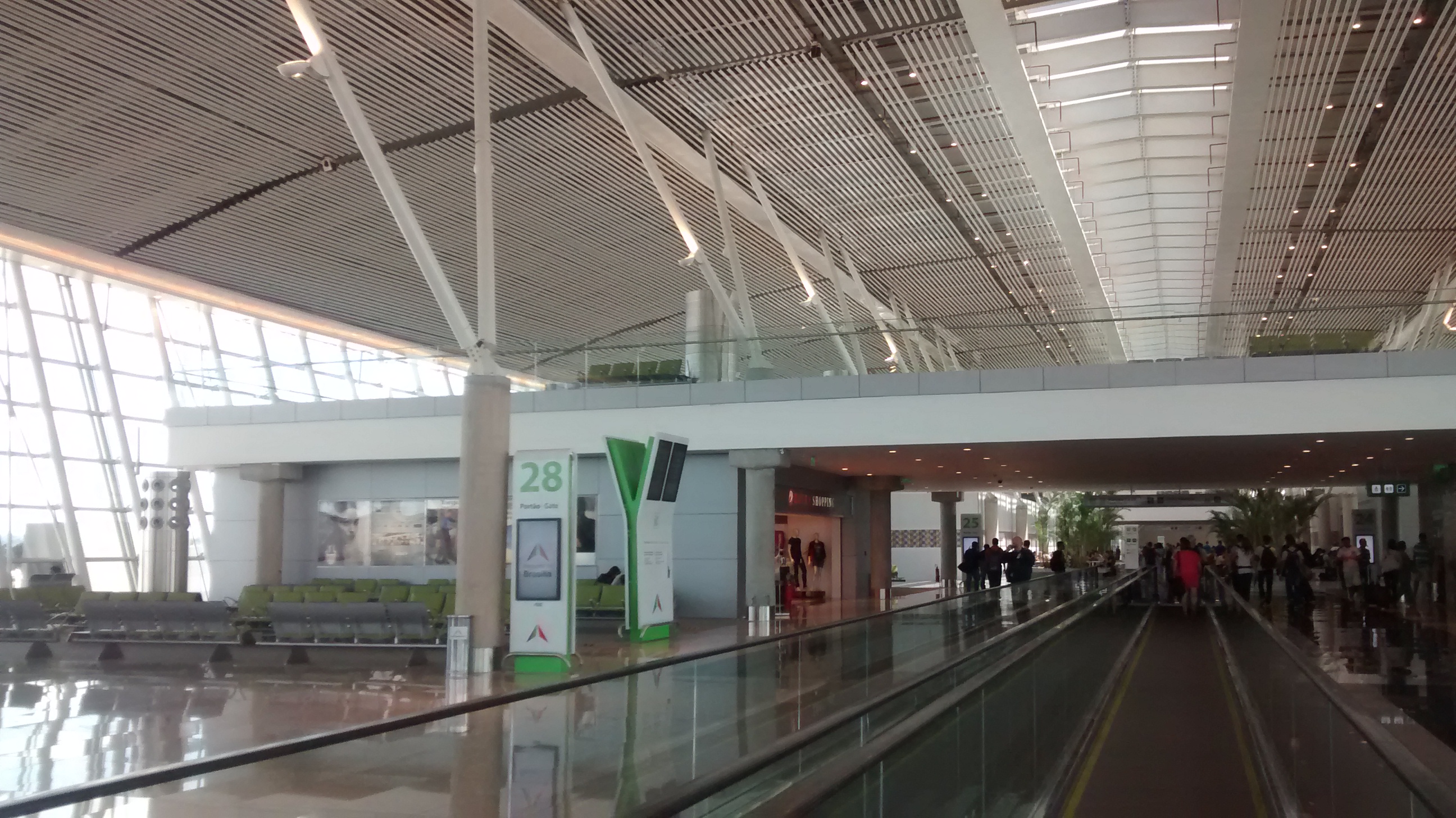
The Hub of the Interior
Geography made Brasília a natural air hub. The capital sits roughly in the center of the country, far from the coast where most of Brazil's population lives. When you fly from Salvador to Belém, your plane may touch down in Brasília even though neither endpoint is anywhere near it. Between 2012 and 2014, the Inframerica consortium invested 1.2 billion reais, expanding from 13 to 29 jetways and from 40 to 70 aircraft positions. The terminal that once handled 9 million passengers per year was processing 14 million before the expansion caught up. The two runways and 2,900-hectare site serve not only commercial traffic but also the adjacent Brasília Air Force Base and CINDACTA I, the Brazilian Integrated Air Traffic Control and Air Defense Center section that oversees the airspace across the country's interior.
A Name Changed by Law
For most of its life, the airport simply carried the city's name. Then on 20 April 1999, Brazil passed Lei n° 9.794, formally renaming it after Juscelino Kubitschek, the man who had built Brasília and landed on the Central Plateau's first crude runway decades earlier. Kubitschek had died in a car accident in 1976, his reputation still shadowed by the military government that had succeeded him. The renaming, thirty-five years after the coup that ended his political career, closed a circle. The airport he had willed into existence now carries his name, the way Washington's does, the way Kennedy's does - a capital's airport bearing the capital's founder.
Arrival on the Plateau
On final approach to Brasília, the flat cerrado stretches in every direction, broken only by the vast geometry of the planned capital itself. The twin towers of the National Congress, Niemeyer's white concrete domes, and the arched wings of the city's airplane-shaped plan come into focus as the aircraft descends toward the runway Kubitschek first touched down on in 1957. Thirteen kilometers of Lago Sul highway separate the terminal from downtown. For many visitors, this approach is the first glimpse of what a country can do when it decides to build a capital from nothing and put it in the middle of its own vastness.
From the Air
Coordinates: -15.871°S, -47.919°W. ICAO: SBBR. The airport sits on the Central Plateau at about 1,060m elevation, 13km south of downtown Brasília. Two parallel runways (11L/29R and 11R/29L) handle heavy domestic traffic. The Niemeyer-designed city is clearly visible on final approach - look for the Monumental Axis, Lake Paranoá, and the distinctive airplane-shaped street plan stretching north of the field.