Brooklyn Heights
Henry Ward Beecher once brought an enslaved woman to his Plymouth Church pulpit and held an auction -- not to sell her, but to buy her freedom. He shipped rifles to abolitionists in Kansas in crates labeled "Bibles," giving the weapons a nickname that stuck: Beecher's Bibles. This was Brooklyn Heights in the decades before the Civil War, a neighborhood that looked across the East River at Manhattan's skyline and chose, from that commanding vantage point, to take a stand against slavery. The Heights has always been a place where proximity to power produced unexpected convictions.
Clover Hill to Commuter Haven
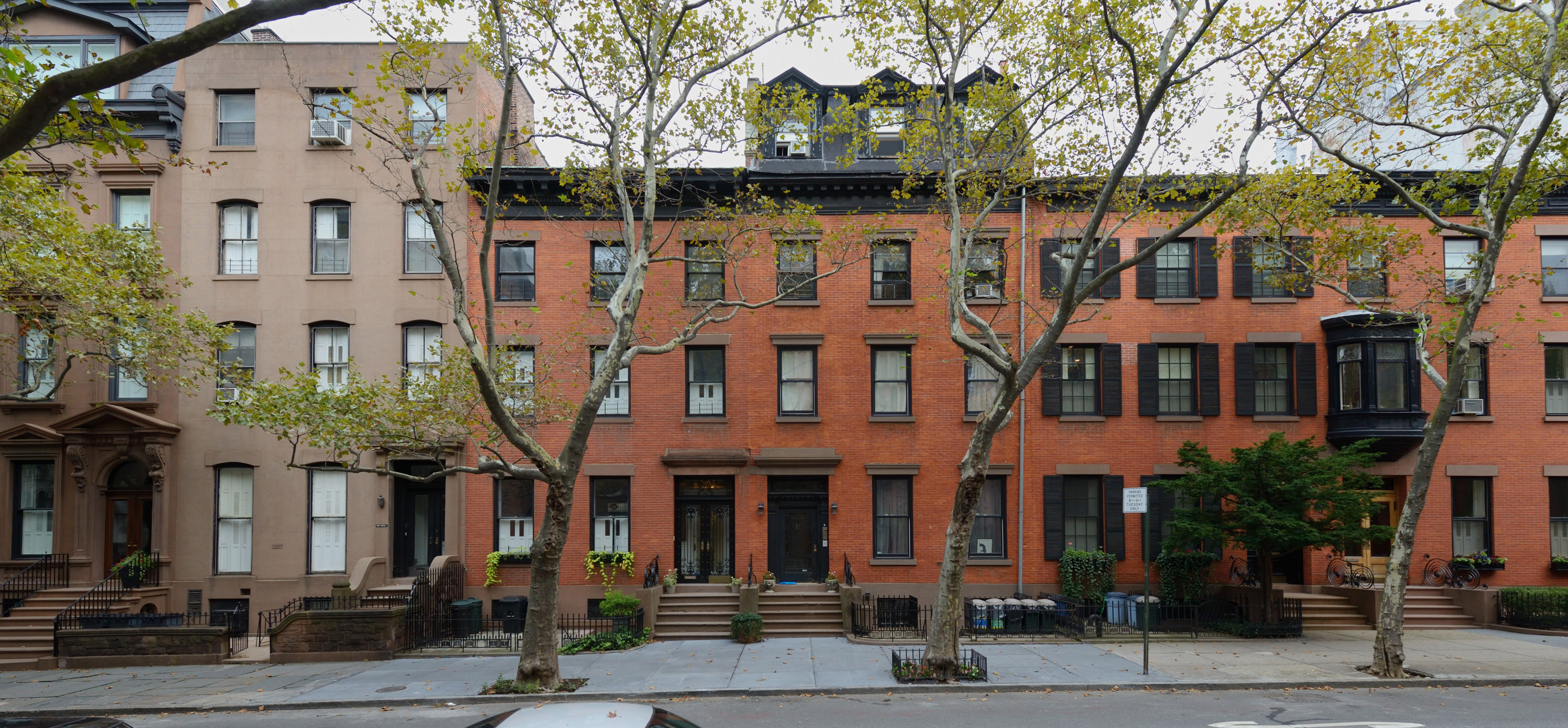
The neighborhood's transformation began with a ferry and a land speculator. In 1814, Robert Fulton's steam ferry company launched regular service between Brooklyn and Manhattan, backed by Hezekiah Beers Pierrepont, who had accumulated 60 acres of elevated land overlooking the harbor. Pierrepont's plan was straightforward: subdivide the land and sell it to Manhattan's merchants and bankers, who could now commute across the river in minutes. What had been called "Clover Hill" became Brooklyn Heights. Brooklyn received its village charter in 1816, streets were laid in a grid, sidewalks went down, and water pumps were installed. The yellow fever epidemic of 1822 accelerated the rush, as wealthy New Yorkers fled to an area advertised as "elevated and perfectly healthy at all seasons." By 1890, the neighborhood was almost entirely built out, its blocks lined with the brownstone rowhouses that define the area to this day.
The Underground Railroad's Grand Central Station
Brooklyn Heights became a center of the abolitionist movement largely through the force of one man's personality. Beecher, pastor of Plymouth Church from the 1840s, was a nationally famous orator who employed humor, dialect, and slang in a style that packed his sanctuary every Sunday. Under his leadership, so many freedom seekers passed through the church on their way to freedom in Canada that later generations called it "the Grand Central Station of the Underground Railroad." Beyond the mock auctions and the smuggled rifles, Beecher raised money to purchase other enslaved people out of captivity. Plymouth Church -- now Plymouth Church of the Pilgrims -- still stands in the neighborhood, a reminder that Brooklyn Heights' genteel brownstone facades housed some of the era's most radical commitments.
Bridges, Subways, and the Brownstone Revival
The Brooklyn Bridge's completion in 1883, with its Brooklyn terminus near the neighborhood's eastern boundary, began reshaping the Heights. When the IRT's Lexington Avenue subway line reached the area in 1908, the old patrician exclusivity dissolved. Mansions were carved into apartments and boarding houses. Artists and writers drifted in. Hotels rose along the bluffs -- the St. George in 1885, the Bossert in 1909, Leverich Towers and the Pierrepont in 1928. By the 1950s, a new generation was discovering what the old money had abandoned. Young homeowners began buying and restoring pre-Civil War houses, pioneering what became known as the Brownstone Revival. Their preservationist energy culminated in 1965 when Brooklyn Heights became the first neighborhood in New York City to receive historic district designation under the new Landmarks Preservation Law.
A Literary Perch Above the River
The neighborhood's roster of famous residents reads like a syllabus for American literature. Walt Whitman edited the Brooklyn Daily Eagle here. Hart Crane wrote poetry in the shadow of the bridge he celebrated. W. H. Auden, Carson McCullers, and Benjamin Britten shared a house at 7 Middagh Street during World War II, in a bohemian experiment that Sherill Tippins would later chronicle in February House. Truman Capote lived at 70 Willow Street, where he wrote about the Heights with characteristic precision. Norman Mailer, Arthur Miller, and H. P. Lovecraft all called the neighborhood home at various points. The pull was always the same: a quiet residential enclave mere minutes from Manhattan, where the brownstone-lined streets offered a writer's peace without a writer's isolation.
The View from the Promenade
Today, the Brooklyn Heights Promenade -- a cantilevered walkway above the Brooklyn-Queens Expressway -- offers one of the most photographed views of the Manhattan skyline and New York Harbor. Columbia Heights, the upscale six-block street running alongside it, sometimes considers itself its own neighborhood. Below, Brooklyn Bridge Park has been renovated and expanded, with a replacement pedestrian bridge connecting it to the Heights since 2020. The architectural range within the historic district remains remarkable: Greek Revival, Italianate, Second Empire, Victorian Gothic, Romanesque, Neo-Grec, and Classical Revival, most of it built in brownstone quarried from Passaic County, New Jersey. At 215 Montague Street, a plaque marks the site where Jackie Robinson signed his major league contract with the Brooklyn Dodgers. The neighborhood that helped free enslaved people also helped break baseball's color line -- a coincidence of geography that feels, in Brooklyn Heights, like something more deliberate.
From the Air
Located at 40.6971N, 73.9964W on a bluff overlooking the East River in western Brooklyn. The neighborhood is bounded by the Brooklyn Bridge to the north, Cadman Plaza to the east, Atlantic Avenue to the south, and the East River/BQE to the west. From the air, look for the dense grid of low-rise brownstones contrasting sharply with the taller buildings of Downtown Brooklyn immediately to the east. The Brooklyn Heights Promenade is visible as a thin line along the bluff edge overlooking the river. Nearest airports: KLGA (LaGuardia, 8nm NE), KJFK (JFK, 12nm SE), KEWR (Newark, 9nm W). Recommended viewing altitude: 2,000-3,000 ft AGL.