Brunet Island State Park
The deer own this island. Hundreds of white-tailed deer roam freely across Brunet Island, so numerous that they devour nearly every young hemlock sapling that tries to take root. Small fenced plots scattered through the forest protect what the deer cannot reach -- tiny exclosures where the next generation of trees grows behind wire, a quiet battle between appetite and persistence playing out beneath the canopy of mature eastern hemlocks that have stood here for generations. This unlikely tension between wildlife abundance and forest survival defines Brunet Island State Park, a green jewel formed by the confluence of the Chippewa and Fisher Rivers just north of Cornell in Chippewa County, Wisconsin.
The Frenchman Who Built the Valley
The park takes its name from Jean Brunet (1791-1877), an upper-class French immigrant whose life reads like a picaresque novel of frontier commerce. Brunet arrived in St. Louis, Missouri in 1818 and found work with a trading company. Two years later, his employers stationed him in Prairie du Chien, Wisconsin, where he married, rose to prominence, and eventually went into business for himself. By 1828 he had moved to Chippewa Falls, where he oversaw construction of the first dam and sawmill on the Chippewa River -- the project that cracked open the entire region to the logging industry. He served in the Wisconsin Territory legislature in 1837 and 1838, then moved further upriver to settle permanently, trading with native peoples and running a popular inn. The city of Cornell was originally called Brunet Falls in his honor. He and his wife, who were childless, informally adopted a boy named Francis Gauthier who worked for them, treating him as their son for the rest of their lives.
Where Two Rivers Build an Island
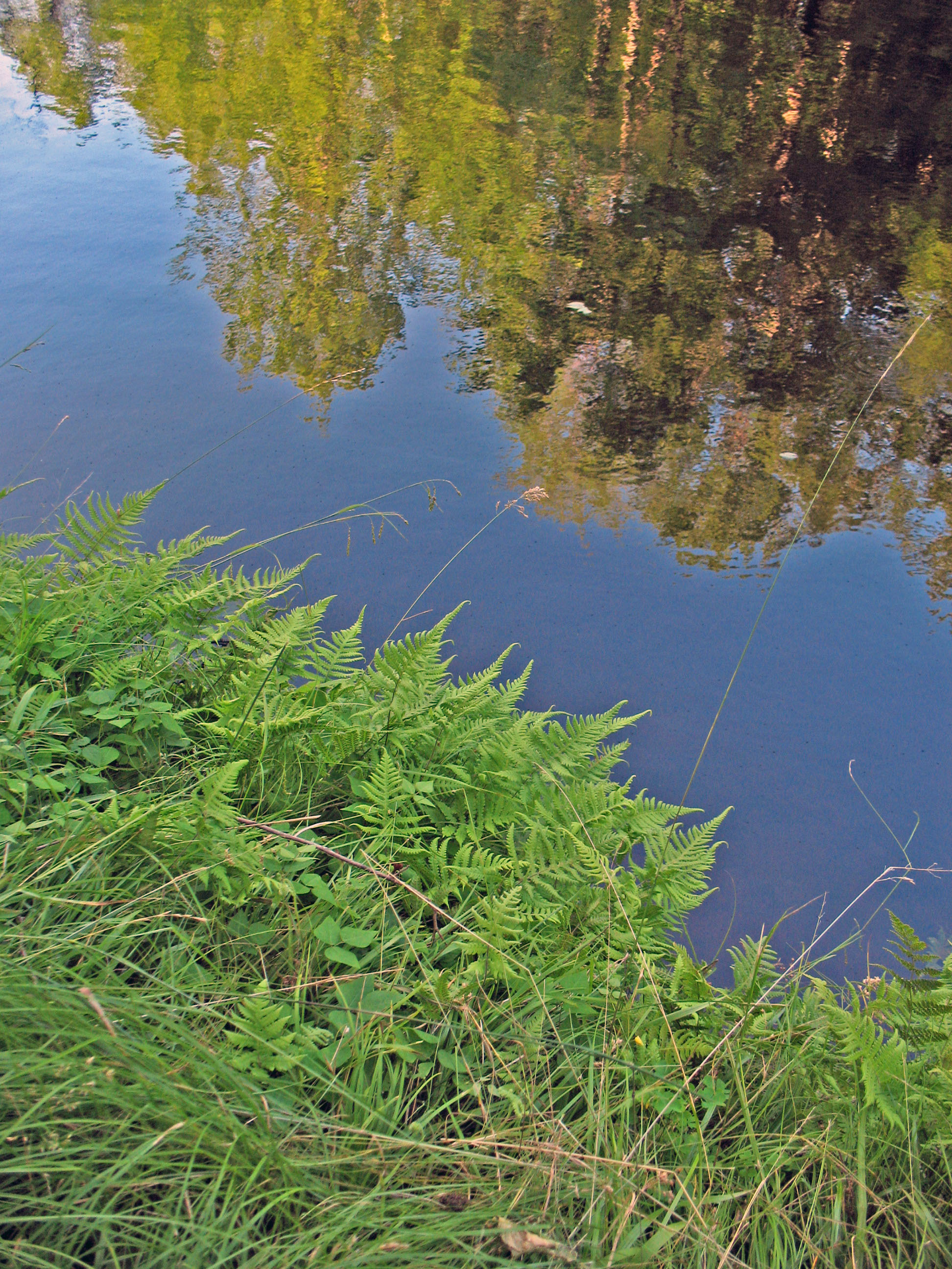
Brunet Island exists because the Chippewa and Fisher Rivers refuse to share a single channel. Their confluence splits around a wooded landmass, with backwater channels at the north end creating several smaller undeveloped islets. The regional landscape bears the deep imprint of the Wisconsin glaciation -- the same ice age event, named for this very state, that shaped much of the Upper Midwest's topography. The park's forests are dominated by mature eastern hemlocks, dark-needled conifers whose presence signals old, undisturbed ground. But the hemlocks face pressure from two directions: the overpopulated deer herd strips young growth, and ecologists predict that red pines and spruces may eventually replace the hemlocks as the dominant species. In 1977, a tornado struck the north-central part of the island, leveling a swath of forest and leaving so much debris that the park closed until spring 1978. That cleared area is now regenerating with birch trees, a bright-barked contrast to the surrounding dark evergreens.
Depression-Era Craftsmanship
Northern States Power (now Xcel Energy) donated Brunet Island to the state of Wisconsin in 1936. Two years later, the Civilian Conservation Corps arrived and built a log shelter that still stands, a handsome artifact of Depression-era park development when young men from CCC camps constructed the rustic infrastructure that defines many of America's best-loved parks. Brunet Island State Park officially opened in 1940. The CCC's work here represents the broader pattern of New Deal conservation that transformed raw landscapes into accessible public spaces across the nation during the 1930s. The park's development was modest compared to larger national projects, but the craftsmanship of that original log shelter endures as a reminder that even small parks carry the fingerprints of a generation that built for permanence.
Trails, Water, and the Old Abe
The park serves as the northern trailhead for the Old Abe State Trail, a bike and hiking path that follows the Chippewa River south to Chippewa Falls, connecting to Lake Wissota State Park along the way. On the island itself, a network of trails threads through the hemlock forest: the Jean Brunet Nature Trail offers interpretive stops near the bridge, the Timber Trail cuts across the middle from campground to beach, and the Spruce Trail traces the eastern shoreline. The Nordic Trail loops through the mainland section of the park for cross-country skiing in winter. The Chippewa River between two dams provides a stretch for powerboats and fishing boats, with canoe outfitters in Cornell and the nearby town of Holcombe. Anglers come for northern pike, walleye, smallmouth bass, muskie, and yellow perch. A swimming beach occupies the south end of the island, and two campgrounds -- 24 electrified sites in the south, 45 primitive sites in the north -- accommodate visitors year-round.
From the Air
Located at 45.179°N, 91.166°W in Chippewa County, Wisconsin. The island is visible as a distinct forested landmass at the confluence of the Chippewa and Fisher Rivers, just north of the town of Cornell. The Chippewa River corridor is a useful navigation reference running generally north-south. Nearby airports include Chippewa Valley Regional Airport (KCWA) in Eau Claire approximately 30 miles south, and numerous smaller grass strips in the area. Best viewed at 2,000-4,000 feet AGL to see the island shape and river confluence clearly. The Old Abe State Trail is visible as a linear corridor along the river's east bank heading south toward Chippewa Falls.