Bucegi Mountains
Somewhere on the high plateau of the Bucegi, wind and rain have spent millennia sculpting limestone into forms that look uncannily human. One formation bears such a striking resemblance to the Great Sphinx of Giza that Romanians simply call it the Sphinx. Nearby stands Babele, a cluster of mushroom-shaped rocks whose name translates to "the old women" -- as if ancient crones had been turned to stone mid-conversation. The Dacians, who inhabited these mountains before the Roman conquest, believed this massif was Kogainon, the sacred peak where their god Zalmoxis dwelled inside a cave. Two thousand years later, the Bucegi still feel like a place where the boundary between the ordinary and the mythic runs thin.
A Name Rooted in Wilderness
Even the etymology of "Bucegi" carries the scent of untamed country. Linguists trace it to "buceag" or "bugeac," words that mountain people used to describe both forest moss and raw wilderness, or perhaps the hardy junipers clinging to high ridgelines. An older form of the name, "Buceci," still survives on the lips of elderly shepherds who work the upper pastures. The renowned linguist Sextil Puscariu argued that the root "Buc" connects to "Bucur," a genuine Dacian name -- tying the mountains to the same linguistic heritage as Bucharest itself. Whether the connection holds or not, the name belongs to a landscape that has never been fully tamed. The Bucegi rise as part of the Southern Carpathians, their eastern flanks falling away in sheer cliffs toward the Prahova Valley, while the western slopes ease into alpine meadows and dense beech forest.
Stone Sentinels on the Plateau
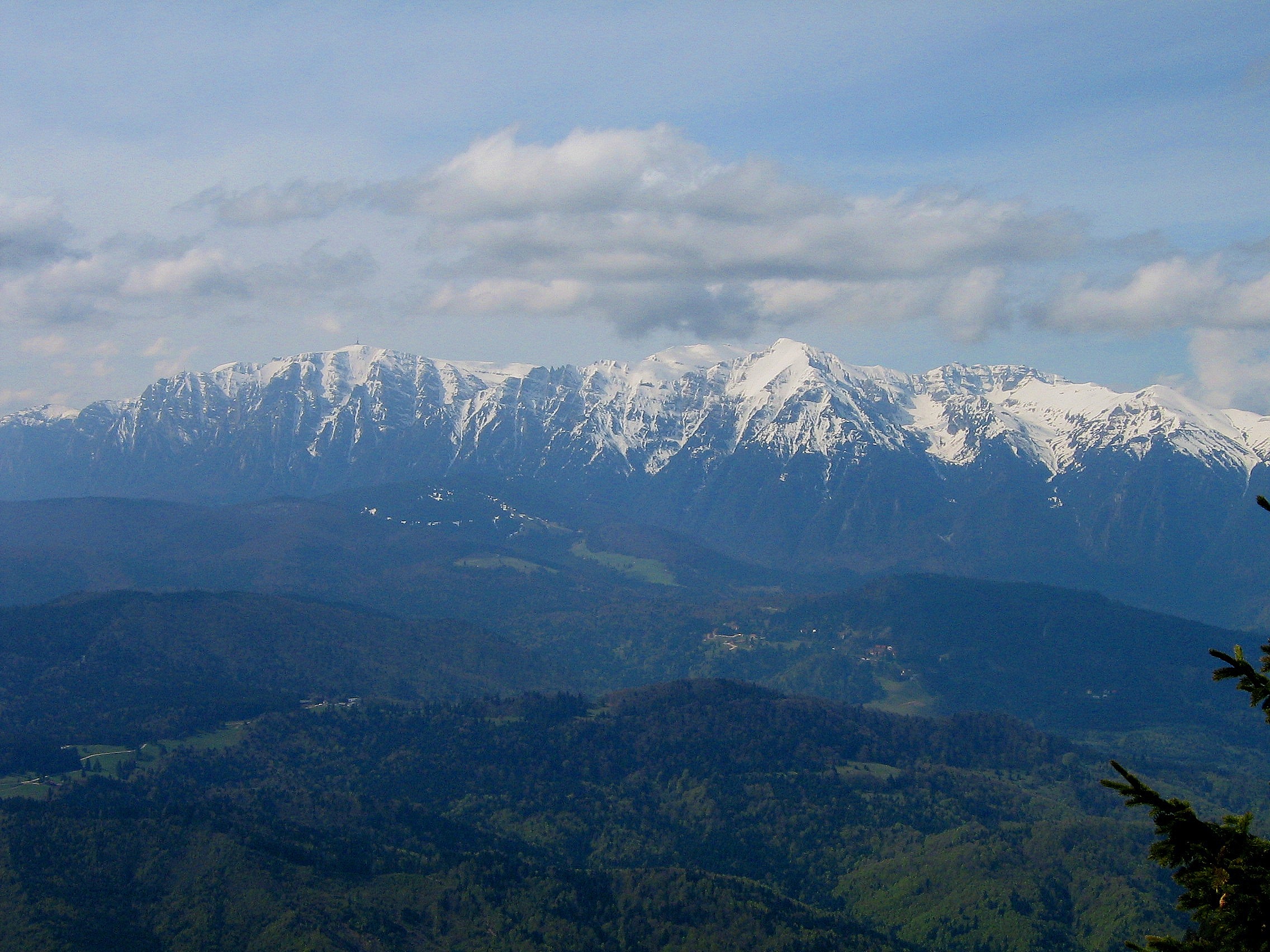
The cable car from Busteni deposits visitors at Babele Chalet, roughly 2,200 meters above sea level, where the wind hits with real force. From here, the plateau stretches southward toward Omu Peak at 2,505 meters, the highest point in the range. The rock formations are the main attraction: the Sphinx, about 8 meters tall, is a natural megalith whose profile -- complete with brow, nose, and jaw -- shifts depending on the angle and the light. Babele's mushroom rocks stand nearby, their narrow bases eroded faster than their caps by centuries of freeze-thaw cycles. Geologists attribute these shapes to differential weathering of conglomerate and limestone, but the effect remains startling. The plateau also hosts Ialomita Cave, a karst system threaded by the Ialomita River, with a small monastery built into its mouth. Above it all, the Heroes' Cross on Caraiman Peak -- one of the highest-altitude monuments in the world -- is visible for kilometers.
The Pass Between Kingdoms
The Bucegi massif is flanked by two companion ranges: the Leaota Mountains and the Piatra Craiului, whose jagged limestone ridge is the longest continuous crest in Romania. Between them runs the Rucar-Bran Corridor, a mountain pass that for centuries served as the primary route between Wallachia and Transylvania. Merchants, armies, and pilgrims all used this passage, and it was defended by the fortress that would become famous as Bran Castle -- popularly, if inaccurately, linked to the Dracula legend. The pass remains one of the most scenic drives in Romania, threading through villages where hay is still dried on wooden frames and farmhouse architecture has barely changed in a century. Looking up from the corridor floor, the Bucegi's eastern wall rises like a fortress itself, its gray cliffs streaked with snow well into May.
Valleys of the Pearl
The Prahova Valley, which hugs the Bucegi's eastern base, holds Romania's densest concentration of ski resorts. Sinaia, nicknamed the "Pearl of the Carpathians," earned its reputation in the late 19th century when King Carol I built Peles Castle here and the Orient Express began stopping at its station. Today ski lifts and cable cars ascend from Sinaia into the Bucegi, and the town fills with weekend visitors from Bucharest, just 124 kilometers south. Busteni, a few kilometers north, serves as the gateway for hikers and climbers tackling the eastern face. The Bucegi Natural Park, established formally in 1990 after decades of partial protection dating to 1935, covers 32,663 hectares across three counties. More than 60 percent of its territory is forested, sheltering brown bears, chamois, lynx, and wolves in numbers that would surprise visitors accustomed to the tamer mountains of Western Europe.
Sacred Ground, Protected Land
References to the Bucegi as a place worth protecting appear as early as the 15th century. The formal proposal for conservation came in 1936, recognizing both the landscape's scenic grandeur and its biological diversity -- endemic alpine plants, old-growth spruce forest, and wildlife corridors connecting the Carpathian chain. The communist era brought mass tourism to the Prahova Valley but also, paradoxically, limited development on the plateau itself. Since 1990, the challenge has been balancing access with preservation. Trails are well-marked but can be punishing; weather on the exposed plateau changes with little warning, and winter conditions above 2,000 meters demand serious equipment. For those who make the effort, the reward is a mountain landscape where Dacian mythology, medieval trade routes, and modern conservation intersect -- all visible in a single panoramic sweep from the summit of Omu.
From the Air
Located at 45.45°N, 25.46°E in central Romania's Southern Carpathians. Omu Peak reaches 2,505 m (8,219 ft) -- maintain safe altitude in mountain weather. The plateau and Sphinx formation are visible from altitude in clear conditions. The Prahova Valley runs along the eastern base. Nearest airports: LRBS (Bucharest Baneasa, ~120 km south), LROP (Bucharest Henri Coanda, ~130 km south). Bran Castle and the Rucar-Bran corridor are visible to the west.