Buena Vista Park
Walk the western paths of Buena Vista Park carefully, and look down. The gutters lining the trail are made from headstones -- broken fragments of Victorian grave markers from the old Lone Mountain Cemetery, repurposed by WPA workers in the 1930s when the city relocated its dead to Colma. In a few places, inscriptions face upward, still legible, names of the forgotten pressed into the ground where joggers and dog-walkers pass without noticing. It's the kind of detail that only San Francisco's oldest official park could offer: beauty and morbidity sharing the same path.
The First Park on the Hill
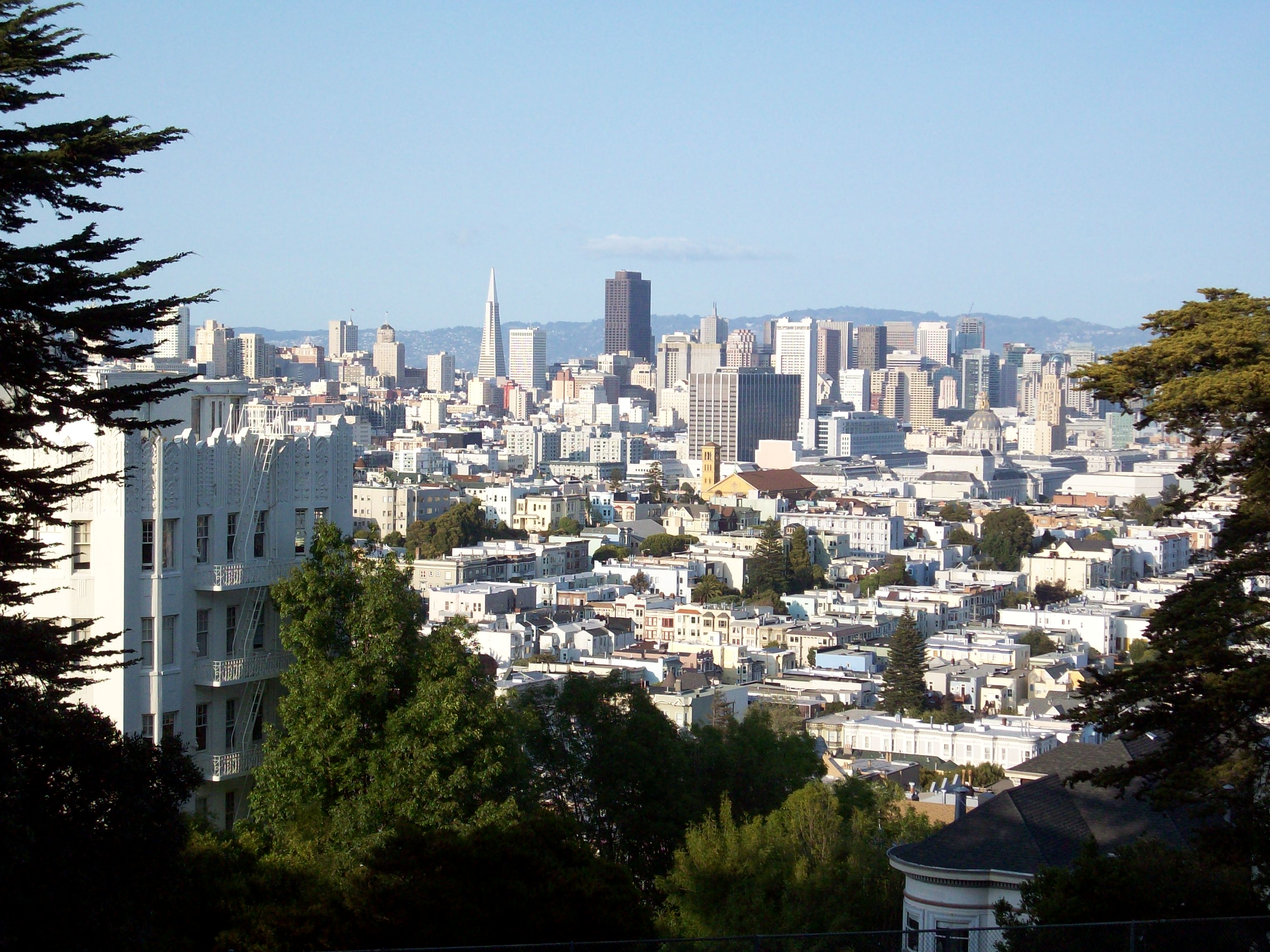
Established in 1867 as Hill Park -- three years before Golden Gate Park was formally authorized by the state legislature -- Buena Vista holds the distinction of being San Francisco's first officially designated park. The city renamed it Buena Vista, Spanish for "good view," and the name proved accurate. The park covers 37 acres of a steep hill that rises to 575 feet, its geology a mix of sand and San Francisco chert formed in the Mesozoic era. The hill's steepness, which makes casual strolling a cardiovascular event, also delivers the payoff: from "The Window," an overlook on the western slope, the view sweeps across Golden Gate Park to the Pacific Ocean and, on clear days, north along the coast to the white cliffs of Drake's Bay.
Haight-Ashbury's Green Crown
Buena Vista Park sits at the intersection of two of San Francisco's most storied neighborhoods -- Haight-Ashbury to the north and Buena Vista Heights wrapping the summit. Haight Street forms the park's northern boundary, and the counterculture that made the Haight famous in the 1960s has left its mark: the northeast corner staircase features a large peace symbol, the classic Campaign for Nuclear Disarmament design, shaped entirely from flower plantings. The contrast between the Victorian-era park and its flower-power embellishment captures the layered quality of San Francisco neighborhoods, where each generation adds its symbols without erasing the ones that came before.
Hitchcock, Tunnels, and Architecture
The park's surroundings carry their own stories. At 355 Buena Vista East, a building constructed in 1928 as St. Joseph's Hospital appears briefly in Alfred Hitchcock's Vertigo -- now converted to condominiums and listed on the National Register of Historic Places. On the western side, 611 Buena Vista West once showcased the modern architecture of Cass Calder Smith, featured in Dwell magazine in 2005, though the house was significantly modified with an added level in 2015. Beneath the park itself, the N Judah light rail line burrows through the Sunset Tunnel, one of San Francisco's quieter engineering feats -- a transit line running directly under a hilltop park, connecting the neighborhoods on either side without disturbing the trees overhead.
The View That Earned the Name
At the summit, a small lawn offers a 360-degree pause. The park's designers used the hill's steepness to create a sequence of rising views -- each switchback reveals a wider panorama, rewarding the climb. To the north, the city grid unfolds toward the Bay. To the west, the dark green canopy of Golden Gate Park stretches toward Ocean Beach. The views are best on those sharp winter mornings when the fog hasn't yet rolled in and the air has an almost crystalline quality. This is a park that demands effort and repays it in full, a hilltop sanctuary that has been doing exactly this since Ulysses S. Grant was president.
From the Air
Located at 37.7683°N, 122.441°W in the Haight-Ashbury / Buena Vista Heights area of San Francisco. The park's 575-foot hilltop is one of the prominent green spaces visible from the air in the central part of the city. Best viewed at 1,500-3,000 feet AGL. Nearest airports: KSFO (12 nm south), KOAK (11 nm east). Look for the large tree-covered hill between the Haight-Ashbury neighborhood and the Castro district.