Bulawayo
The city was built on an act of destruction. In 1893, troops of the British South Africa Company invaded Matabeleland, burned the royal capital of Lobengula -- the last Ndebele king -- and raised a new town over its ashes. They kept the name. Bulawayo, Zimbabwe's second-largest city, still carries that layered identity: Ndebele heritage underneath colonial grid, independence-era ambition layered on top, and the quiet resilience of a place that has outlasted every regime that tried to define it.
The King's City, the Company's Town
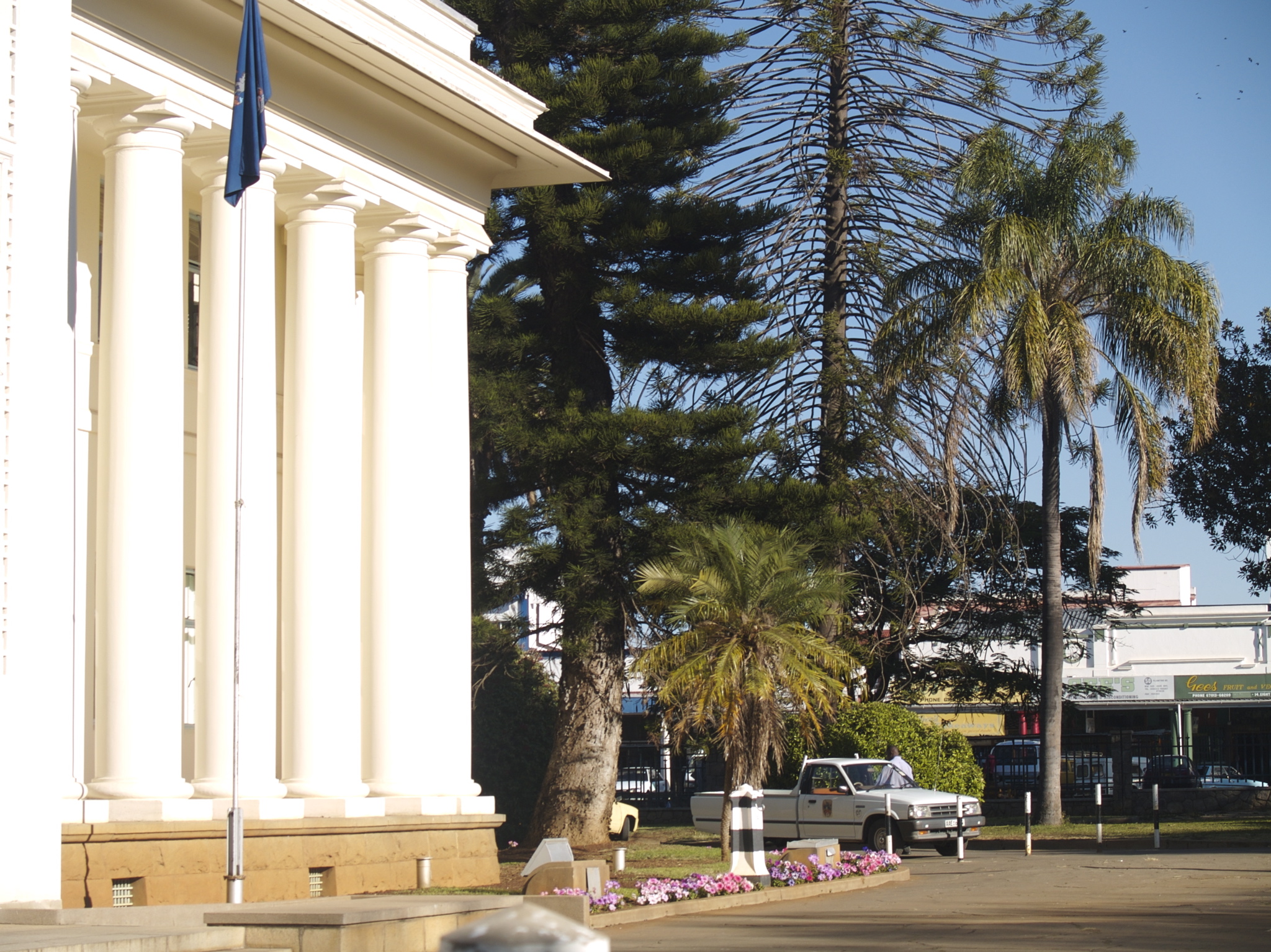
Lobengula settled in what is now Bulawayo around the 1840s, leading a large group of Ndebele who had trekked from Zululand in present-day KwaZulu-Natal. For decades, the royal capital anchored Ndebele power across Matabeleland. Then came the First Matabele War of 1893. The British South Africa Company, hungry for mineral concessions and territorial control, invaded. Lobengula fled; his city was destroyed. The colonial town that replaced it was laid out with wide, tree-lined boulevards -- avenues broad enough, legend has it, for a wagon team to make a full U-turn. That grid persists today, giving Bulawayo an openness unusual for a city of its size. The trees have matured. The wagons are gone. But the streets still feel designed for a grander purpose than they currently serve.
Subtropical Rhythms
Although it sits within the tropics by latitude, Bulawayo's elevation gives it a subtropical climate -- cooler, drier, and more comfortable than the lowlands to the south. A prevailing southeasterly airflow moderates temperatures for most of the year. Winter, from May through August, brings little rain and refreshing daytime temperatures, making it the best season to visit. September through November is the hot, dry stretch when the city bakes and air conditioning becomes less a luxury than a necessity. The rains arrive from December to March, mostly as brief afternoon thunderstorms that crack the sky, drench the streets, and pass, leaving the air smelling of wet earth and jacaranda. Bulawayo's three-season rhythm shapes everything from market activity to the pace of walking through the central business district.
Gateways and Edges
Bulawayo sits at a crossroads. Several World Heritage sites lie within an hour's drive, including the Matobo Hills with their ancient rock art and granite formations, and the Khami Ruins, remnants of a pre-colonial civilization that flourished long before the Ndebele arrived. Joshua Mqabuko Nkomo International Airport connects the city to Harare, Johannesburg, Addis Ababa, and Victoria Falls. The railway, once the city's lifeline, has suffered. National Railways of Zimbabwe suspended passenger service during the COVID-19 pandemic, and as of 2024 it remained suspended. Bus routes fill the gap: luxury coaches run daily between Johannesburg and Bulawayo, a journey of several hundred kilometers across the South African border, while local 'kombis' -- 18-seater minibuses -- shuttle residents between the city center and the suburbs for fifty cents a ride.
Walking the Grid
Bulawayo is a walkable city, a rarity in southern Africa. The central business district rewards exploration on foot: wide sidewalks under mature trees, low-rise colonial-era buildings, and the kind of streetscape that invites wandering without a destination. The National Art Gallery houses a collection of Zimbabwean art. Centenary Park offers green space near the center. The Amakhosi Theatre, at the corner of Old Falls Road and Lady Stanley Street, stages local performing arts. For those navigating by app, inDrive handles taxi bookings. A taxi within the CBD costs about two US dollars; beyond the center, it runs about a dollar per kilometer. The Spar supermarkets that dot the city accept US dollars, though visitors paying by foreign credit card should be alert -- the dual-currency environment means charges sometimes appear at the Zimbabwe-dollar rate rather than the US-dollar rate, an eightfold difference that turns a small purchase into an unpleasant surprise.
From the Air
Located at 20.167S, 28.567E in western Zimbabwe. Bulawayo's colonial grid of wide boulevards is clearly visible from altitude. Joshua Mqabuko Nkomo International Airport (FVBU) lies to the northeast of the city. The Matobo Hills are visible approximately 35 km to the south. Rail lines radiate from the central station toward Victoria Falls (northwest), Harare (northeast), and South Africa (south).