Cache River National Wildlife Refuge
In the 1970s, the U.S. Army Corps of Engineers proposed dredging and straightening the Cache River in eastern Arkansas -- standard operating procedure for turning wild waterways into efficient drainage channels for agriculture. Duck hunters stopped them. The men who waded into flooded timber each autumn to hunt mallards understood something the engineers' models did not: this tangled, meandering, swamp-choked river system was irreplaceable. Their successful fight laid the groundwork for the Cache River National Wildlife Refuge, established in 1986 and now encompassing nearly 69,000 acres of the largest remaining contiguous bottomland hardwood forest in the United States. It is a Ramsar Wetland of International Importance, the most critical wintering ground for mallard ducks in North America, and the place where, for a few electric months in 2005, scientists believed they had found a bird back from the dead.
The Flooded Forest
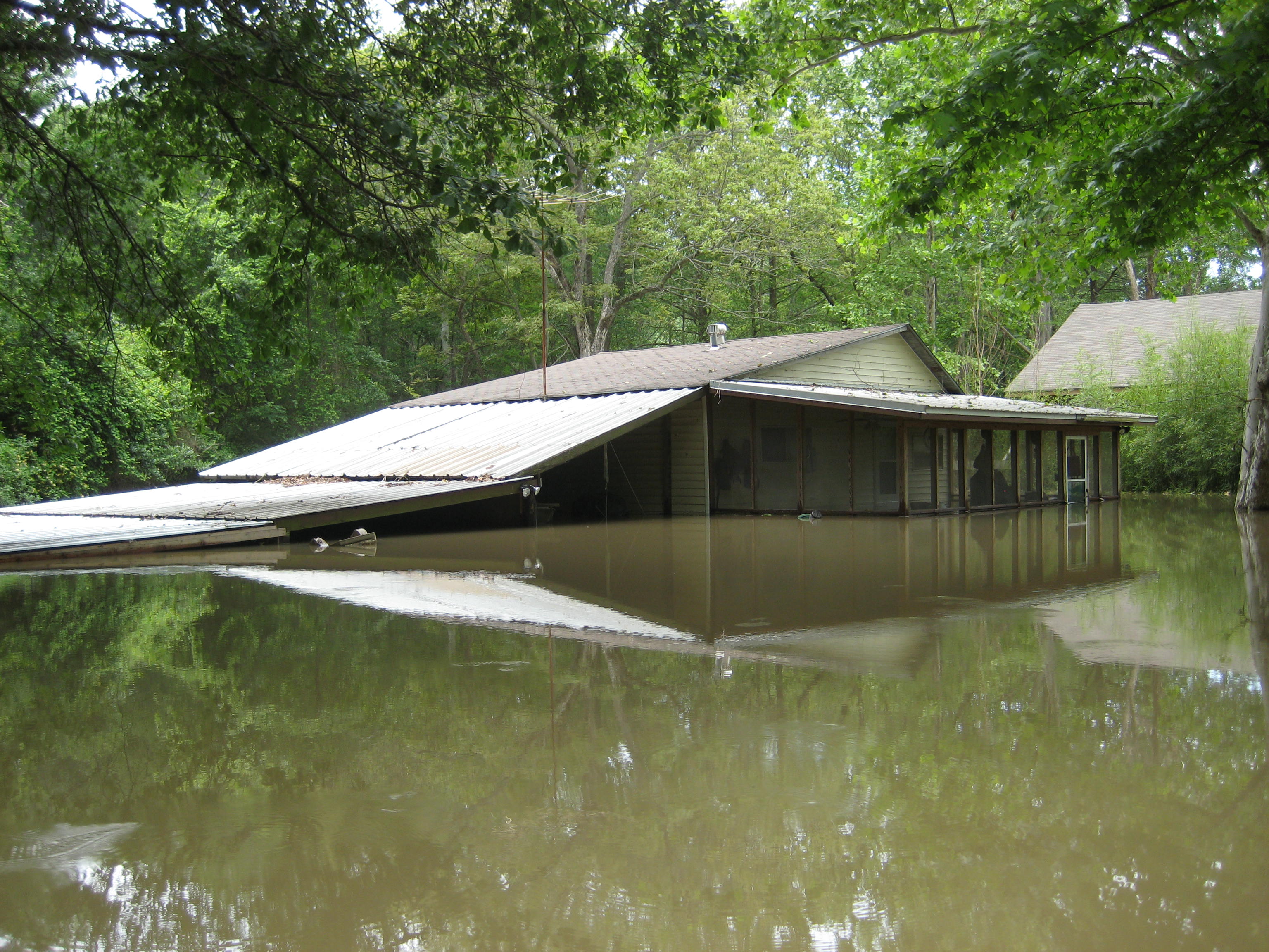
The refuge stretches 70 miles along the Cache River's floodplain, from its mouth at Clarendon north to the town of Grubbs, spanning portions of Jackson, Woodruff, Prairie, and Monroe counties. The landscape is defined by water in all its forms: meandering sloughs, crescent-shaped oxbow lakes cut off from the main channel by centuries of river migration, and vast swamps anchored by ancient bald cypress trees draped in Spanish moss. These bottomland hardwood forests -- dominated by overcup oak, water hickory, and sweetgum -- once blanketed millions of acres across the Mississippi Delta. Logging and agricultural conversion destroyed most of them. What survives along the Cache River represents the largest intact fragment, a living museum of an ecosystem that once defined the interior South.
Wings Over the Bottomlands
Every autumn, the refuge transforms into one of the great wildlife spectacles of the continent. Mallard ducks descend by the hundreds of thousands, drawn to the flooded timber and rice fields of the surrounding agricultural landscape. The nearby town of Stuttgart proclaims itself the "Rice and Duck Capital of the World," and the claim is difficult to dispute. Beyond the ducks, the refuge supports nearly 240 bird species, including geese, wading birds, and neotropical migrants that use the bottomland corridor as a highway between breeding and wintering grounds. Over 50 mammal species inhabit the refuge, among them deer, bobcat, river otter, and the only native black bear population remaining in Arkansas. The swampy bottomlands also shelter 48 species of reptiles and amphibians in a web of life that depends entirely on the seasonal flooding the Army Corps once tried to eliminate.
The Ghost Bird
On April 29, 2005, a team from the Cornell Lab of Ornithology announced something that electrified the birding world: they had captured a four-second video and recorded audio calls of an ivory-billed woodpecker in the Cache River refuge. The ivory-billed, the largest woodpecker in North America, had been considered extinct for 60 years. The announcement made international headlines and prompted the U.S. Fish and Wildlife Service to close much of the refuge to the public while intensive searches were mounted. Researchers combed thousands of acres of swamp and bottomland timber, listening for the bird's distinctive double-knock and trumpet-like call. The woodpecker was never seen again. Whether the 2005 sighting was genuine remains a source of heated debate among ornithologists. The refuge reopened to the public in 2006, the ghost bird having slipped back into the shadows of the flooded forest -- or perhaps having never truly emerged from them.
Restoring What Was Lost
The refuge continues to grow through purchases from willing landowners. Most acquired land was formerly drained farmland, and the long-term goal is to reforest these areas with native vegetation, reconnecting the Cache River and Bayou DeView watersheds into a continuous forested corridor. In 2012, the Fish and Wildlife Service proposed a major expansion identifying three priority areas: 38,483 acres between the two rivers, 32,600 acres extending the refuge 30 miles northward along Bayou DeView, and nearly 30,000 acres of peripheral land that would partially connect the Cache River refuge with protected lands along the White River. Unique to this region, about 13 percent of the peripheral area consists of sand dunes with vegetation adapted to drier conditions -- an unexpected landscape in the heart of the Mississippi floodplain. The refuge already draws 120,000 visitors annually for hunting, fishing, canoeing, and wildlife observation. The restoration work is slow, spanning generations, but each replanted acre pushes back against the century of clearing that nearly erased this ancient forest.
From the Air
Located at 35.058°N, 91.329°W in the Arkansas Delta. The refuge stretches 70 miles along the Cache River floodplain, visible from altitude as a dark band of forested wetland cutting through lighter agricultural land. Stuttgart Municipal Airport (KDWU) is approximately 20 nm south. Jonesboro Municipal (KJBR) is about 45 nm north. The meandering river channels, oxbow lakes, and extensive flooded timber are distinctive from 3,000-6,000 feet AGL. The contrast between the forested refuge and surrounding farmland is particularly striking. Bayou DeView parallels the Cache River to the west.