Cahokia: The American City Older Than London
There was a city here before there were cities. Around 1050 CE, Cahokia rose on the Mississippi floodplain near present-day St. Louis - a planned metropolis of 20,000 people, larger than London at the same time. They built 120 earthen mounds, including Monks Mound, the largest earthwork in North America: 100 feet tall, covering 14 acres, constructed basket-load by basket-load without metal tools or draft animals. They aligned their city to the sun, hosted festivals that drew thousands, and controlled trade routes spanning half a continent. Then they left. By 1400 CE, Cahokia was abandoned, the mounds overgrown, the people scattered. Europeans found the ruins and couldn't imagine Americans had built them. We're still learning what we forgot.
The City
Cahokia at its peak was a genuine city - not a village, not a ceremonial center, but an urban environment with all the complexity that implies. The population reached 20,000 around 1100 CE; suburban settlements brought the metro area to perhaps 40,000. The central plaza covered 40 acres, larger than any comparable space in medieval Europe. Houses were organized in neighborhoods; craft specialists produced goods for trade; a hierarchy of mounds indicated social stratification. The city was planned, not gradually accumulated - they laid out the central area according to astronomical alignments and built accordingly.
The Mounds
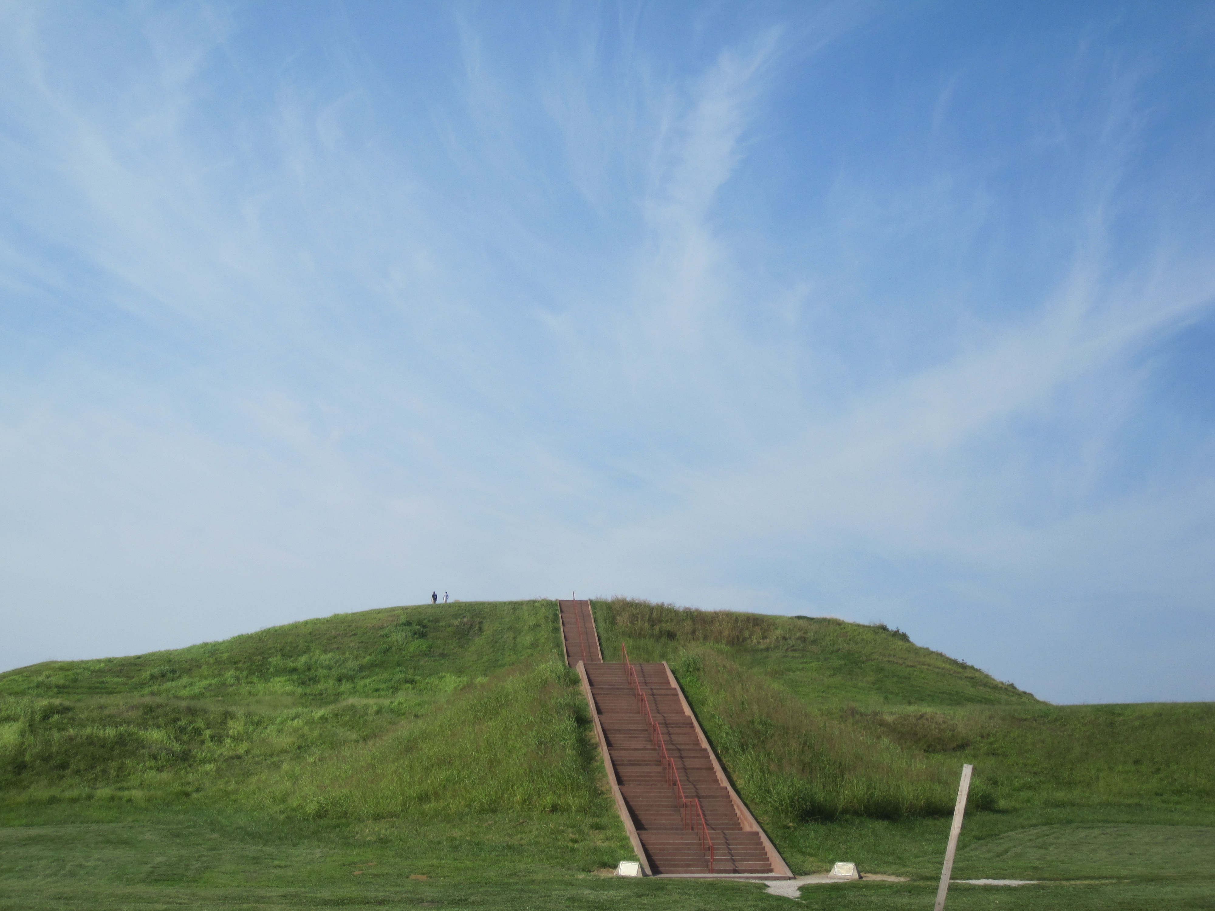
Cahokia's 120 mounds served multiple purposes: platform mounds for elite residences and temples, conical mounds for burials, ridge-top mounds marking boundaries. Monks Mound, the largest, rises 100 feet above the plaza in four terraces - roughly 22 million cubic feet of earth, carried in baskets on human backs. The construction required coordinated labor over generations: planning, logistics, motivation. Some mounds show evidence of periodic expansion, growing larger as the city grew more powerful. Others were built quickly, perhaps for specific ceremonies. The mounds were painted - red, white, black - visible for miles across the flat floodplain.
The Mystery
Why did Cahokia collapse? The city was abandoned by 1400 CE, but decline began earlier. Theories include: environmental degradation (deforestation, erosion, exhausted soils), climate change (drought, flooding, the Little Ice Age), disease, political instability, or simply the difficulty of sustaining large populations with pre-industrial agriculture. The abandonment was gradual - people drifted away over generations rather than fleeing catastrophe. The descendants of Cahokians likely became the historic tribes Europeans encountered: Osage, Quapaw, Ponca, and others. But they didn't tell stories about the mound city; the memory was lost.
The Rediscovery
Europeans found the mounds and couldn't explain them. The prevailing assumption - that Indigenous peoples were incapable of civilization - led to theories about lost tribes of Israel, Welsh princes, or vanished white races. Archaeology has spent a century dismantling these fantasies and reconstructing what actually existed: a sophisticated Indigenous civilization that rose, flourished, and fell before European contact, leaving only earthworks that modern development almost destroyed. Interstate 55 cuts through the site; suburban sprawl surrounds it. Cahokia Mounds State Historic Site preserves 70 mounds; the rest are under parking lots and subdivisions.
Visiting Cahokia Mounds
Cahokia Mounds State Historic Site is located in Collinsville, Illinois, eight miles east of St. Louis. The interpretive center provides context for the site's history and archaeology. Monks Mound is climbable via stairs - 156 steps to the summit with views across the floodplain. Woodhenge, a reconstructed solar calendar, demonstrates Cahokian astronomy. Walking trails connect the preserved mounds. The site is a UNESCO World Heritage Site, one of only 24 in the United States. Admission is free; donations support preservation. St. Louis has extensive services across the river. Visit at sunrise or sunset when the mounds cast shadows; visit at equinox when Woodhenge aligns with the rising sun.
From the Air
Located at 38.65°N, 90.06°W on the Mississippi floodplain in southwestern Illinois. From altitude, Cahokia's mounds are visible as geometric shapes emerging from flat farmland - Monks Mound the largest, surrounded by smaller mounds in planned arrangements. The site is bordered by Interstate 55 and suburban development; many original mounds have been destroyed. The Mississippi River and St. Louis skyline are visible to the west. The Gateway Arch rises above downtown. This was once the largest city north of Mexico, visible from altitude as the earthworks that outlasted everything else about it.