Cahuita National Park
In 1991, an earthquake lifted a large section of Cahuita's coral reef three meters out of the water. Corals that had grown for centuries were suddenly exposed to sun and air, and they died within days. It was a brutal reminder that the reef which prompted the park's creation in 1970 exists on geological terms, not human ones. Cahuita National Park protects approximately 23,500 hectares of Costa Rica's Caribbean coast (around 1,100 terrestrial and 22,400 marine) -- a place where coastal rainforest runs straight to the waterline, where eyelash vipers coil on branches above the trail, and where the surviving reef still shelters at least 35 species of coral, 123 species of fish, and 140 species of mollusks.
The Reef That Built a Park
Cahuita was originally declared a national monument in 1970, created specifically to protect its offshore coral reef -- one of the most developed on Costa Rica's Caribbean coast. In 1978, the monument was elevated to national park status. The 600-acre reef had long attracted the attention of naturalists: at least 35 coral species, 44 species of crustaceans, and more than 120 fish species were documented in its waters. But the reef has also suffered. The 1991 earthquake that lifted a significant portion above water was only one blow. Silt and agricultural runoff from nearby banana plantations have degraded water quality over the decades, and seven of the original 34 coral species documented in early surveys had disappeared by the time later assessments were conducted. The reef endures, diminished but alive, and snorkeling remains one of the park's primary draws when the water is calm.
Forest to the Waterline
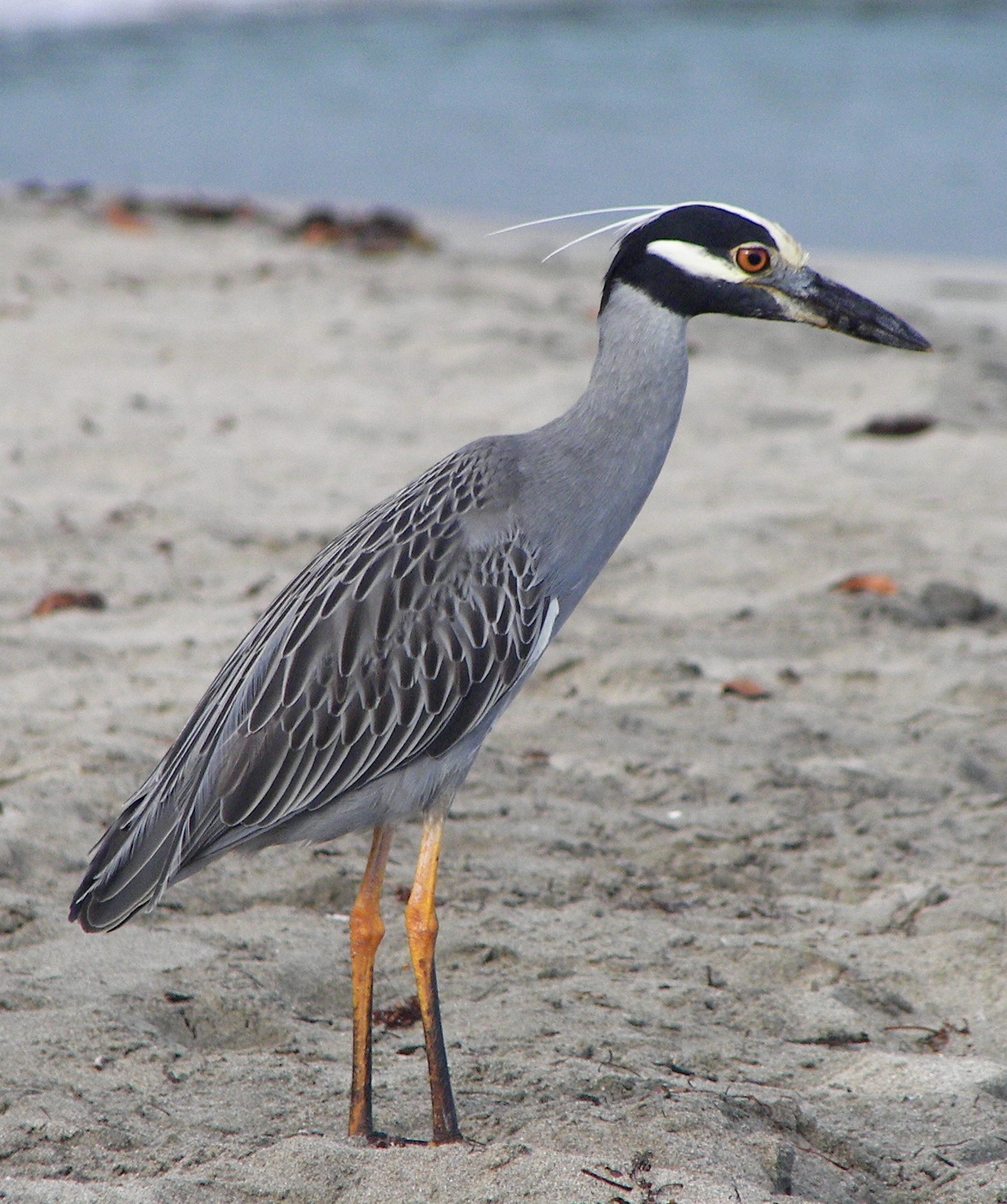
A 2.1-kilometer trail with boardwalks through the wettest sections runs along the coast, threading between forest and beach. The canopy overhead is coastal rainforest -- dense, humid, and thoroughly inhabited. White-faced capuchins and howler monkeys crash through the branches. Raccoons and coatis forage along the trail. Sloths hang motionless in cecropia trees, sometimes so still that only a guide's trained eye spots them. The snakes demand more attention. The eyelash viper, small and variably colored, rests on low branches at eye level. The rainforest hog-nosed pit viper blends into the leaf litter. And the fer-de-lance -- the deadliest snake in Central America -- is present though rarely seen. The park is not large enough to get lost in, but it is wild enough to demand respect.
A Point Named by Fishermen
The first recorded settler at Cahuita Point was a fisherman named William Smith, who brought his family here in 1828, drawn by the reef's abundance of green and hawksbill turtles. Other Afro-Caribbean families followed, building a fishing community along the coast that would persist for generations. The village of Cahuita that grew outside the park's boundaries still reflects this heritage -- a Caribbean town with English-speaking elders, a pace set by tide and season rather than clock, and Coco's Bar in the center of town hosting Sunday karaoke nights. The park entrance operates on a donation system, trusting visitors to pay what they feel the experience is worth. It closes at four in the afternoon, and the advice to leave time to get back to town before dark is practical, not atmospheric: at this latitude, night falls fast and completely.
Sand in Two Colors
Cahuita's beaches are divided by geology. Playa Blanca, the white sand beach inside the park, stretches along the trail between the Kelly Creek entrance and Puerto Vargas, backed by coconut palms and lapped by the turquoise water that makes every photograph look retouched. Playa Negra, the black sand beach on the other side of Cahuita Point, is the town beach -- less visited, more local, and the only place in the park where overnight camping is informally tolerated. The contrast between the two beaches is one of the park's quiet pleasures: white sand and reef on one side of the point, dark volcanic sand and open ocean on the other, with rainforest connecting them overhead. When the sea is calm, snorkeling off Playa Blanca reveals the reef in its surviving glory -- brain corals, sea fans, parrotfish, and the occasional spotted eagle ray gliding through the blue.
From the Air
Located at approximately 9.73N, 82.83W on Costa Rica's southern Caribbean coast, about 43 kilometers south of Limon. The park occupies the Cahuita Point peninsula and surrounding waters. Nearest airports are Limon Airport (MRLM) to the north and Juan Santamaria International Airport (MROC) in San Jose. From the air, the reef is visible as lighter turquoise water against the deeper Caribbean blue, and Cahuita Point juts out clearly from the coastline. The contrast between white and black sand beaches is discernible from low altitude. Best viewed at 2,000-4,000 feet.