Cal Anderson Park
This park has had more names than most people have addresses. Lincoln Park, Broadway Playfield, Lincoln Reservoir Park -- the land at the heart of Seattle's Capitol Hill neighborhood has been renamed so many times that the changes themselves tell a story. The current name honors Cal Anderson, Washington state's first openly gay legislator, who died of AIDS-related complications in 1995. The renaming came in 2003, eight years after his death. But the ground beneath the name stretches back much further, to a reservoir dug in panic after the Great Seattle Fire of 1889 consumed twenty-five blocks of the young city.
Fire, Water, and the Olmsted Touch
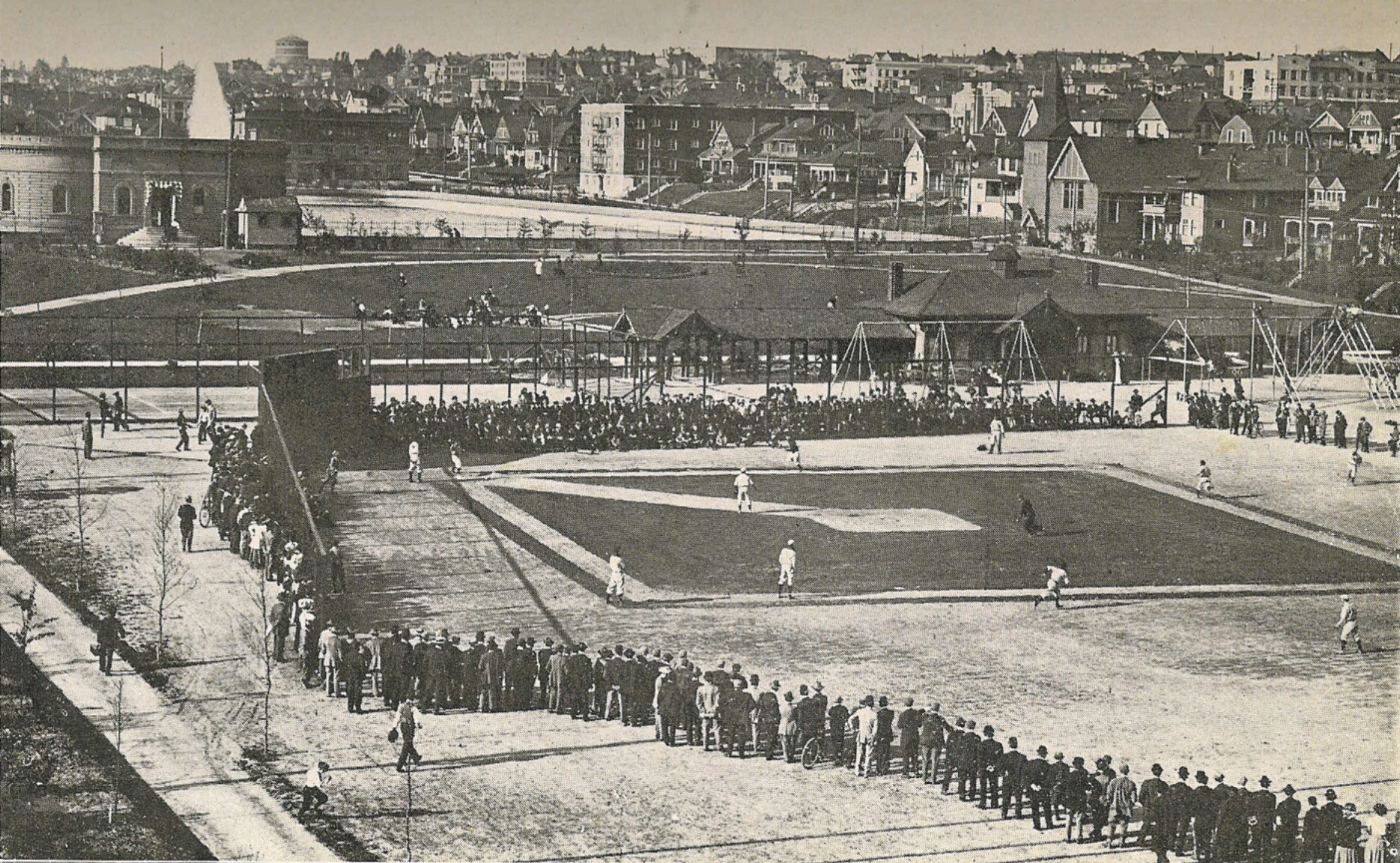
Lincoln Reservoir was started in 1889 as a direct response to the Great Seattle Fire, which had exposed the city's desperate lack of water infrastructure. The reservoir was completed in 1901, and the parcel of land just south of it was named Lincoln Park the same year. The famed Olmsted Brothers, the landscape architecture firm that shaped parks across Seattle, designed the grounds as part of their broader work in the city. In 1908, the southern section was developed as a playfield. By 1922, the park's name was changed to Broadway Playfield to avoid confusion with a newer Lincoln Park in West Seattle. In 1980, the playfield was renamed for Bobby Morris, a former King County auditor. Between 2003 and 2005, the original reservoir was rebuilt as a covered basin -- the water still flows beneath, but the surface became parkland.
The Living Room of Capitol Hill
Today, Cal Anderson Park functions as the de facto gathering place for one of Seattle's most vibrant neighborhoods. The north end features Waterworks, a mountain-shaped water fountain that feeds into a shallow texture pool, a reflecting pool, and a summer wading pool that operates from noon to 7:00 p.m. The south end holds the lighted Bobby Morris Playfield. Between them stretches a patchwork of tennis courts, basketball courts, a dodgeball court, a children's play area, a shelterhouse, and a central plaza. Forbes magazine recognized it as one of the 12 best city parks in the United States in 2009 -- a distinction earned not through grand acreage but through sheer density of community life packed into a compact urban space.
Summer of 2020
Cal Anderson Park became the center of national attention in June 2020. On June 8, protesters occupied the park and the surrounding blocks, declaring the area the Capitol Hill Autonomous Zone, or CHAZ. The zone was later renamed the Capitol Hill Occupied Protest, or CHOP. For several weeks, the park served as a gathering space, protest hub, and impromptu community. The occupation was not without violence. On June 20, a shooting in the park left a 19-year-old man dead and a 33-year-old critically injured. The incident intensified the debate over whether to disband the zone. The events of that summer left physical and emotional marks on the park, adding yet another layer to a place that has been continuously redefined by the city around it.
Underground Connections
At the northwest corner of Cal Anderson Park, where East Denny Way meets Nagle Place, a stairway descends to Capitol Hill Station on Sound Transit's Link light rail. The station, which opened in 2016, connects the park to the rest of Seattle's growing rail network. It is a fitting detail for a park that has always been tied to the city's infrastructure -- born as a water reservoir, reshaped as a playfield, and now linked to the transit system that carries tens of thousands of riders beneath Capitol Hill every day. The park endures, not because it has stayed the same, but because it keeps changing with the neighborhood it serves.
From the Air
Cal Anderson Park is located at 47.617°N, 122.319°W on Capitol Hill in Seattle. From the air, look for the rectangular green space east of the I-5 corridor and north of the I-90 interchange. The park is compact but identifiable by the Bobby Morris Playfield and the fountain features at the north end. Nearest general aviation airport is Boeing Field/King County International (KBFI), approximately 5 nautical miles to the south. Seattle-Tacoma International Airport (KSEA) lies about 12 nautical miles south. Recommended viewing altitude: 2,000-3,000 feet AGL for neighborhood context.