Camano Island
The bridge from Stanwood deposits visitors onto an island that feels more rural than its proximity to Seattle might suggest. Camano Island sits between Whidbey Island and the mainland, separated from its larger neighbor by Saratoga Passage - a name that survives from the Wilkes Expedition of 1841, when American explorers honored naval victories in naming the features they mapped. The island itself carries a Spanish name, bestowed by British cartographer Henry Kellett in 1847 after the explorer Jacinto Caamaño. It's a quiet place, home to artists and retirees, its beaches offering views across the passage to the Cascades.
Spanish Names on American Charts
The naming history of Camano Island reflects the tangled colonial claims to the Pacific Northwest. When Charles Wilkes led his U.S. Exploring Expedition through these waters in 1841, he named the island for Thomas MacDonough, hero of the Battle of Lake Champlain in the War of 1812. The water between Camano and Whidbey he named Saratoga Passage, after MacDonough's flagship.
But when British cartographer Henry Kellett reorganized the official charts in 1847, he stripped away Wilkes' MacDonough and substituted Camano - a version of Caamaño, the Spanish explorer who had charted these waters decades earlier. The British were asserting their own claims to the region, claims that would culminate in the Pig War crisis and the eventual division of the San Juan Islands. Saratoga Passage survived the revision, an American name in otherwise Spanish-labeled waters.
The Bridge and Beyond
Unlike many Puget Sound islands, Camano connects to the mainland by bridge. State Route 532 crosses the Camano Gateway Bridge near Stanwood, making the island accessible without ferry waits or boat ownership. This accessibility has shaped the island's character - it's a bedroom community for Everett and Seattle, home to commuters willing to trade distance for the peace of island living.
The island stretches roughly 15 miles from north to south, its western shore facing Whidbey Island across Saratoga Passage, its eastern shore looking toward the mainland and the Cascades beyond. State parks offer beach access, and the rural roads wind past farms and forest. It's quieter than Whidbey, less developed than Bainbridge, a middle ground between wilderness and suburb that suits those seeking neither extreme.
Water Views
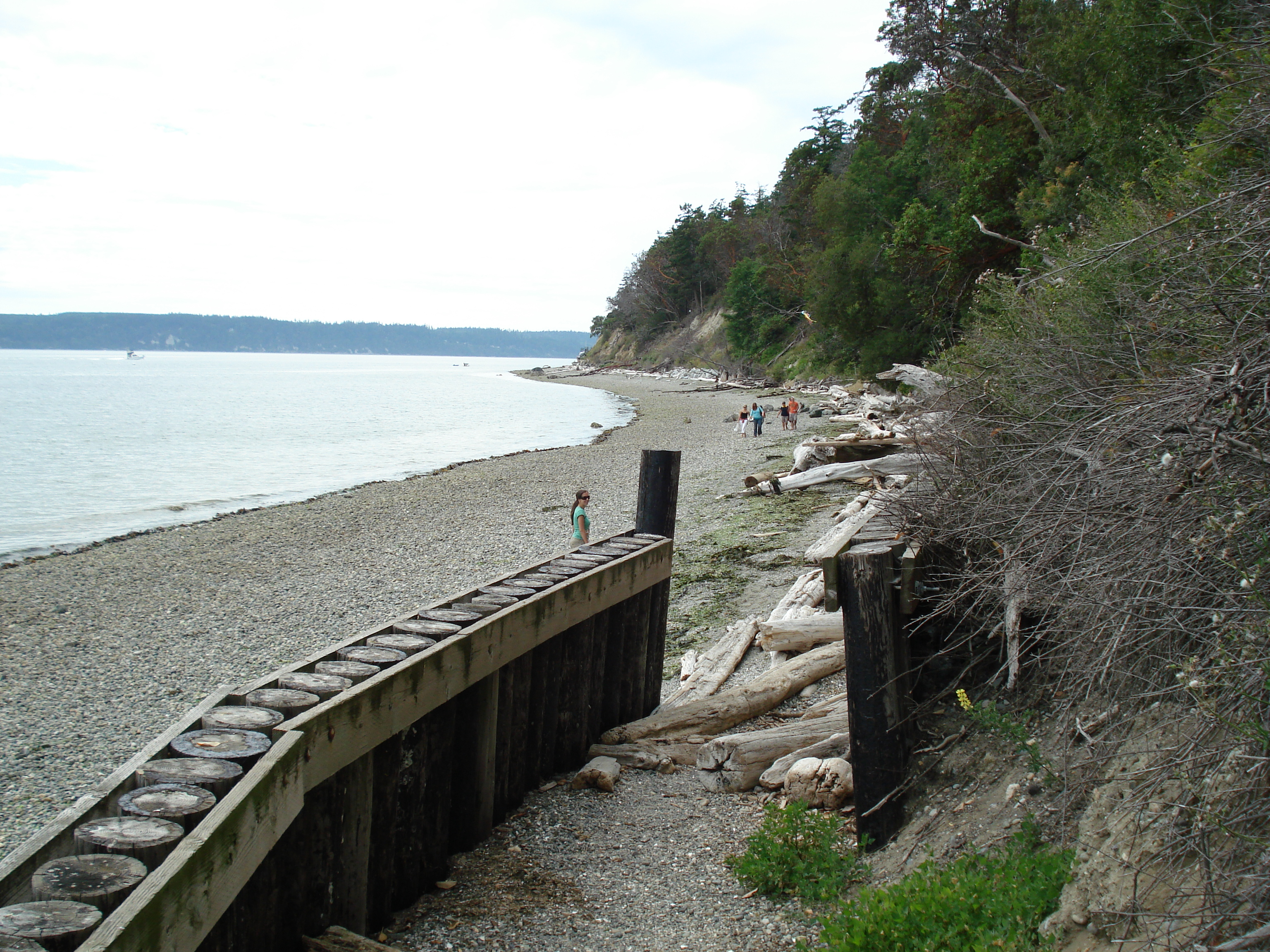
Camano Island State Park anchors the island's southwestern tip, offering camping, beaches, and trails through second-growth forest. The park's position provides views across the Sound - Olympic Mountains to the west, Mount Baker to the northeast, the water dotted with boats heading to and from the islands beyond.
The beaches attract beachcombers seeking the shells and driftwood that accumulate on Puget Sound shores. Low tide reveals tide pools where sea stars and anemones cling to exposed rocks. Harbor seals haul out on sandbars. Eagles wheel overhead, scanning for fish. It's the same marine ecosystem found throughout the Sound, accessible here without the ferry fares that access to other islands requires.
Island Time
Despite the bridge, Camano retains something of island rhythm. Small farms grow produce for local markets. Artists have established studios in converted barns. The local events calendar fills with craft fairs and community gatherings that bring together the few thousand year-round residents.
The island lacks the tourist infrastructure of more developed destinations - no rows of hotels, no major attractions, no crowds overwhelming the beaches. Visitors come for the quiet, the views, the chance to walk a beach without encountering crowds. Stanwood, the mainland town that serves as the island's commercial center, offers basic services without pretension. It's a low-key existence that suits those who find it, hidden in plain sight less than an hour north of Seattle.
From the Air
Located at 48.18N, 122.50W in north Puget Sound, between Whidbey Island and the mainland. The Camano Gateway Bridge connects the island's northeastern corner to Stanwood; SR-532 is visible crossing the water. Saratoga Passage separates Camano from Whidbey Island to the west. The island is roughly 15 miles long, oriented north-south, with state parkland visible at the southwestern tip. Mount Baker rises prominently to the northeast. Everett is approximately 15 miles south; Seattle is about 50 miles south-southeast. Paine Field (KPAE) is the nearest commercial airport.