Camino Real de Tierra Adentro
Long before any European set foot on the route, indigenous traders were already walking it. Turquoise moved south, obsidian moved north, and by AD 1000 a flourishing trade network stretched from the Valley of Mexico to the Rocky Mountains. When the Spanish arrived and overlaid their own ambitions onto these ancient paths, they called it El Camino Real de Tierra Adentro -- the Royal Road of the Interior Land. For nearly three hundred years, from 1598 to 1882, this 2,560-kilometer corridor between Mexico City and San Juan Pueblo in New Mexico carried the wealth of empires and the hopes of ordinary people across some of the most unforgiving terrain in North America.
A Map Drawn in Sand
In April 1598, a column of military scouts led by Juan de Onate, the newly appointed colonial governor of Santa Fe de Nuevo Mexico, found themselves lost in the desert south of Paso del Norte. They were searching for a safe route to the Rio del Norte when a captured local man named Mompil solved their problem by drawing a map in the sand -- the only passage to water. The scouts reached the river just south of present-day El Paso and Ciudad Juarez in late April, celebrated the Catholic Feast of the Ascension on April 30, crossed the river, and then mapped and extended the route northward to what is now Espanola. This trail became the northernmost of four major royal roads radiating from Mexico City, linking the capital to its tributaries in Acapulco, Veracruz, Guatemala, and now Santa Fe.
The Jornada del Muerto
Traveling the Camino Real was never routine. River floods could strand caravans for weeks on muddy banks. Droughts turned water sources to dust. Bandit gangs preyed on travelers between Mexico City and Queretaro, while Chichimeca warriors attacked from Zacatecas northward, seeking horses, women, and children. But the most feared stretch was the Jornada del Muerto beyond El Paso del Norte -- nearly 100 kilometers of barren desert without a single water source. Wagon caravans departed Mexico City every three years as part of the conducta system, a supply chain for missions, presidios, and northern ranches. The journey took six months, including two to three weeks of rest stops. At night in dangerous territory, wagons circled into a defensive ring with people and animals huddled inside. For all its perils, the road endured because what it carried was indispensable: silver flowing south from the mines of Chihuahua, Parral, and Zacatecas, and everything a frontier society needed flowing north.
Fairs, Porcelain, and Brandy
By the 18th century, the Camino Real had matured from a military supply line into a thriving commercial artery. The villa of San Felipe el Real -- today the city of Chihuahua -- became the route's most important financial center after its founding in 1709. Albuquerque, established in 1706, grew into a hub for trading cattle, wool, textiles, and salt. El Paso del Norte, with an estimated 2,635 inhabitants by 1765, developed a reputation for its wines, brandy, vinegar, and raisins. The Spanish Crown authorized fairs along the road to stimulate commerce, and the results were spectacular. Merchants in Parral sold Platoncillos from Michoacan, majolica pottery from Puebla, porcelain from China brought via the Manila galleon, and clay products from Guadalajara. At the Fair de Taos, Comanches and Utes traded weapons, horses, furs, and agricultural products with the Spanish. An entire continental economy flowed along a single road.
Wars, Borders, and a World Heritage Ribbon
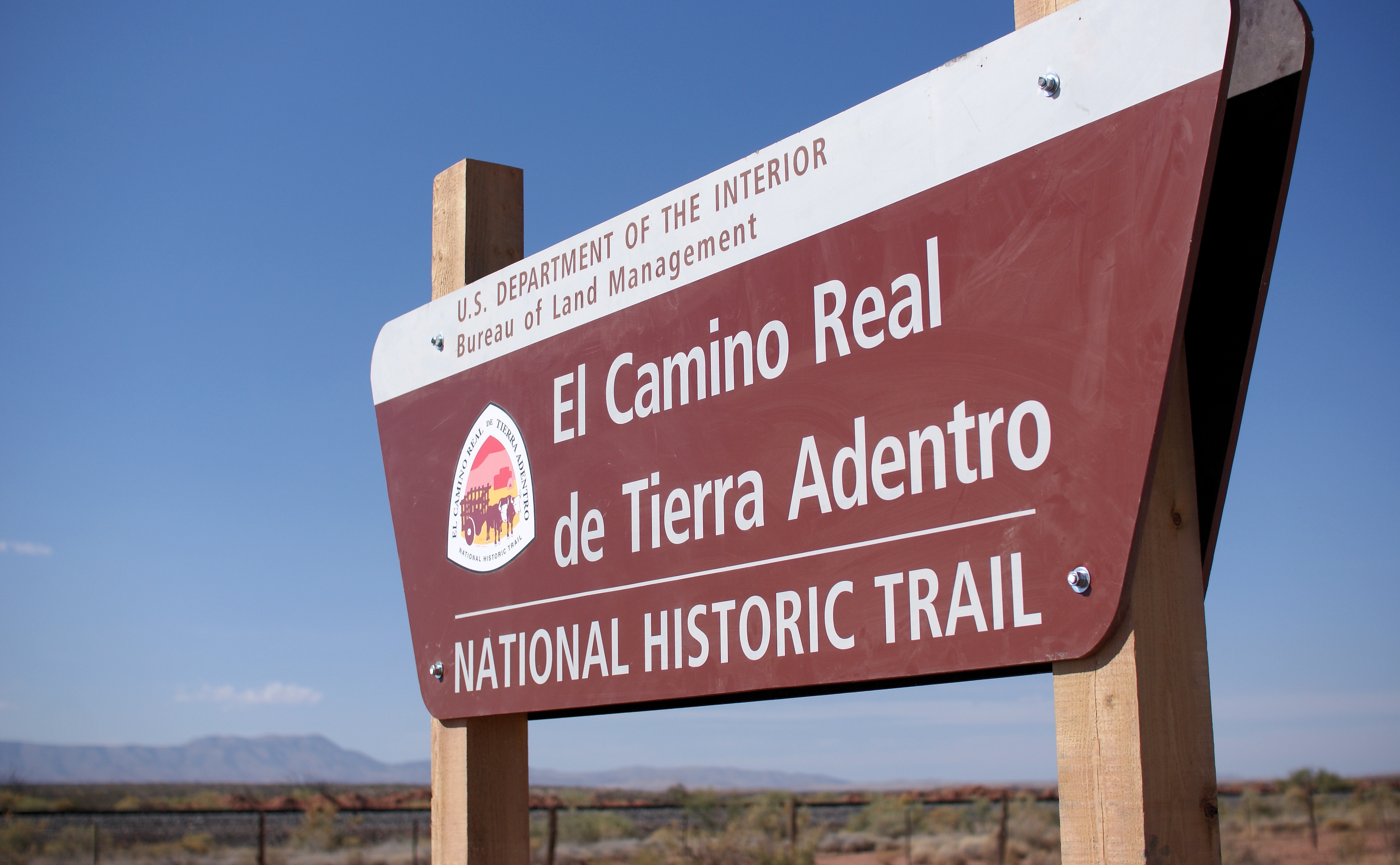
The 19th century broke the Camino Real's colonial monopoly. Mexico's War of Independence used the road as both a retreat path and a communication corridor -- after Miguel Hidalgo lost the Battle of Calderon Bridge in 1811, he fled northward along it until his capture at the Wells of Bajan. The Santa Fe Trail, opened in 1821, connected Missouri to New Mexico and created an alternate supply route that New Mexicans welcomed. During the Mexican-American War of 1846-1848, Colonel Alexander Doniphan's forces marched down the Camino Real, defeating Mexican troops at Los Brazitos and capturing El Paso del Norte and Chihuahua. The Treaty of Guadalupe Hidalgo sliced the road in two, leaving its northern section in the United States. In 2000, the US portion was designated the El Camino Real de Tierra Adentro National Historic Trail. A decade later, UNESCO inscribed 60 sites along the Mexican section as a World Heritage Site -- a ribbon of haciendas, bridges, churches, and historic city centers stretching 1,400 kilometers from Mexico City to Valle de Allende, Chihuahua.
From the Air
The Camino Real corridor runs roughly north-south through central Mexico. This article's coordinates (22.61N, 102.38W) place it near Aguascalientes/Zacatecas. From the air, the route traces the high central plateau between the Sierra Madre Occidental and Sierra Madre Oriental. Key airports along the route include Zacatecas International (MMZC/ZCL), Aguascalientes (MMAS/AGU), Queretaro (MMQT/QRO), and Chihuahua (MMCU/CUU). The terrain is semi-arid highland steppe, with visibility typically excellent. The route roughly parallels modern Highway 45 (Pan-American Highway) through much of its length.