Campo Ma'an National Park
An oil pipeline created this national park. That sentence sounds like it should be a contradiction, but the story of Campo Ma'an is one of the stranger bargains in African conservation. When the Chad-Cameroon petroleum pipeline was approved in the late 1990s, the environmental cost was obvious -- hundreds of kilometers of pipe driven through some of Central Africa's most biodiverse terrain. The compensation, negotiated through the World Bank, was equally concrete: in 2000, the existing Campo Ma'an protected area and its adjacent forest reserve were consolidated into a single 2,680-square-kilometer national park. A forest that had survived since the Pleistocene era was formally shielded from the century that most threatened it.
A Forest That Remembers the Ice Ages
Campo Ma'an is not simply old. Based on the distribution of slowly dispersing plant species and high degrees of endemism, scientists believe this forest persisted as tropical rainforest throughout the Pleistocene -- the geological epoch when ice sheets advanced and retreated across the Northern Hemisphere and many tropical forests contracted into isolated refugia. The Atlantic Biafran forest here held on. Its closed evergreen canopy, dominated by species in the Caesalpiniaceae family, represents a living record of that persistence. Researchers have catalogued 256 plant species within the park, 22 of which the IUCN lists as endangered. A rare and critically endangered orchid from the genus Distylodon was discovered in the nearby village of Bifa, with surveys ongoing to determine whether it occurs within the park itself. The adjacent Ma'an forest plantation, covering 990 square kilometers, was established in 1980 to conserve okoumé, a tree species prized for its high economic logging value.
The Megafauna Corridor
The species count at Campo Ma'an is staggering for a single protected area. Forest elephants move through the understory alongside duikers, hippos, and bush pigs. Giant pangolins -- the largest of all pangolin species, scaled like medieval armor -- forage for ants and termites along the forest floor. Leopards hunt the shadows. A small population of forest buffalo occupies the park's southern reaches. Most significantly, the park harbors populations of critically endangered western lowland gorillas and endangered central chimpanzees, making it a priority landscape for great ape conservation as designated by the IUCN. An ongoing gorilla habituation project aims to make one group comfortable enough with human presence to allow research and, eventually, tourism. The reptile count stands at 122 species, fish at 165. Even the millipedes have been surveyed: a 2015 study documented 27 species, the most abundant being Aporodesmus gabonicus. Over 300 bird species make it one of Cameroon's 33 Important Bird Areas.
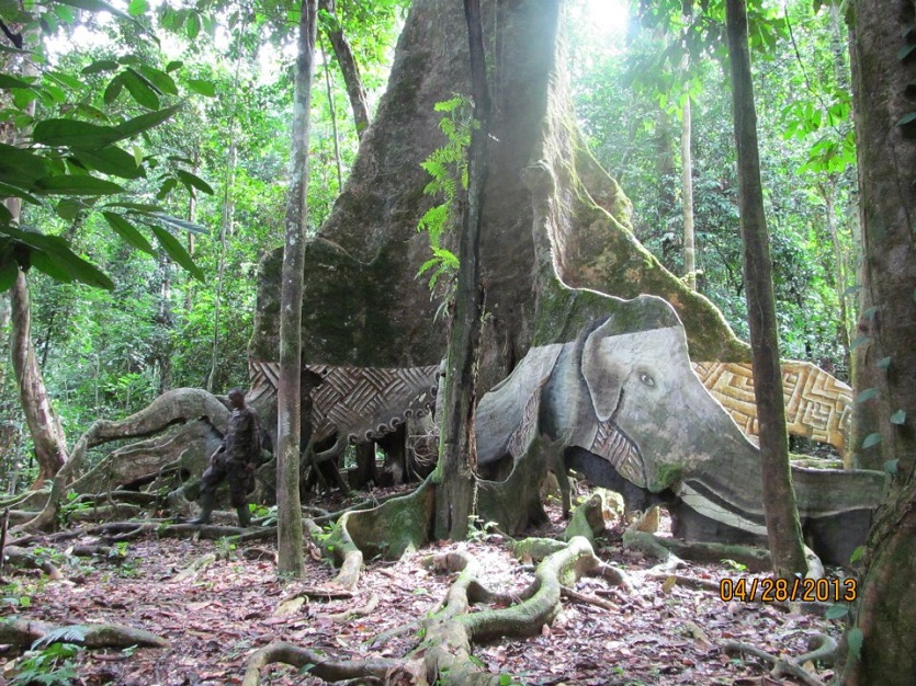
The Bagyeli and the Forest They Know
Long before colonial boundaries or conservation designations, two indigenous groups called this forest home. The Bagyeli, a Pygmy people, and the Bantu have inhabited the Campo Ma'an region for over 4,000 years. The Bagyeli are traditionally subsistence hunter-gatherers who rely on the forest for food, shelter, and medicinal plants. Their population in the area is estimated at fewer than 10,000, making them a minority among the indigenous communities. The creation of the national park, while protecting biodiversity, also restricted the traditional land use practices that the Bagyeli had sustained for millennia. This tension -- between conservation goals defined from outside and the lived relationship between a people and their forest -- is one of the central unresolved questions of Campo Ma'an. The forest that scientists value for its Pleistocene continuity is the same forest that the Bagyeli have known, used, and shaped across more than 160 generations.
Scars in the Canopy
The park's boundaries do not erase its history. Selective logging took place across the reserve area in 1994 and 1995, leaving roads that still cut through the forest like faded surgical scars. These logging roads paradoxically serve as access routes for researchers and, more troublingly, for poachers. Illegal hunting remains an ongoing challenge, as does the pressure from surrounding communities who depend on forest resources. Campo Ma'an exists in the tension between its designation as a Global Environmental Facility site and the economic realities of rural southwestern Cameroon. The World Bank's biodiversity conservation project provided international legitimacy, but sustaining protection requires more than paperwork. Every day the canopy holds, every gorilla group habituated, every orchid catalogued, the bargain struck over an oil pipeline proves a little more worthwhile.
From the Air
Located at 2.35°N, 9.99°E in southwestern Cameroon, near the border with Equatorial Guinea and the Atlantic coast. The park appears as dense, unbroken tropical canopy from altitude, with the coastline visible to the west. Old logging roads may be faintly visible as linear breaks in the canopy. Nearest airport is Douala International Airport (FKKD) approximately 200 kilometers to the north. Kribi, a coastal town south of Douala, is the nearest significant settlement. Equatorial cloud cover and haze frequently limit visibility. Best aerial views during the dry season (November through February). Recommended viewing altitude: 5,000-10,000 feet AGL.