Canal del Dique
Gabriel Garcia Marquez sent Florentino Ariza down this waterway in Love in the Time of Cholera, and the Nobel laureate knew what he was doing. The Canal del Dique is not a scenic backdrop. It is a 118-kilometer artery that has pumped commerce, conflict, and culture between Cartagena Bay and the Magdalena River for more than four centuries. Built by Spanish engineers in 1582, abandoned, rebuilt, blocked, dredged, and now being ecologically reimagined, the canal tells the story of Colombia itself: ambition followed by neglect, collapse followed by reinvention.
The Lifeline Spain Could Not Maintain
The problem was geographic. The mouth of the Magdalena River, Colombia's great interior highway, was virtually impenetrable to ships. Cartagena and Santa Marta, the two principal colonial ports, sat on the Caribbean coast with no navigable connection to the country's heartland. In 1582, Spanish engineers cut a channel through the lowlands of what is now Bolivar Department, linking the port of Calamar on the Magdalena to the corregimiento of Pasacaballos on Cartagena Bay. The canal worked, for a time. By 1650 it had silted up badly enough to require a complete rebuild. The rebuilt version lasted longer but not forever. By the end of the 18th century, it functioned only during high water, and by 1821, the year Colombia won its independence, the canal was completely blocked. The empire that built it had already lost the country it was meant to serve.
A Century of Dredging and Defeat
Independence did not solve the canal's fundamental challenge: the Magdalena River carries enormous quantities of sediment, and wherever its water flows, mud follows. Colombian engineers improved the canal in 1923 and again in 1952, widening and deepening the channel for modern barge traffic. Each improvement brought a surge of commerce, and each surge was gradually strangled by the same sedimentation that had defeated the Spanish. In 1972, a comprehensive morphological study of the Magdalena and the Canal del Dique attempted to understand the dynamics that had frustrated engineers for nearly four hundred years. The study's conclusions were sobering: the canal could not simply be dug deeper. The entire relationship between river, canal, and coast needed rethinking.
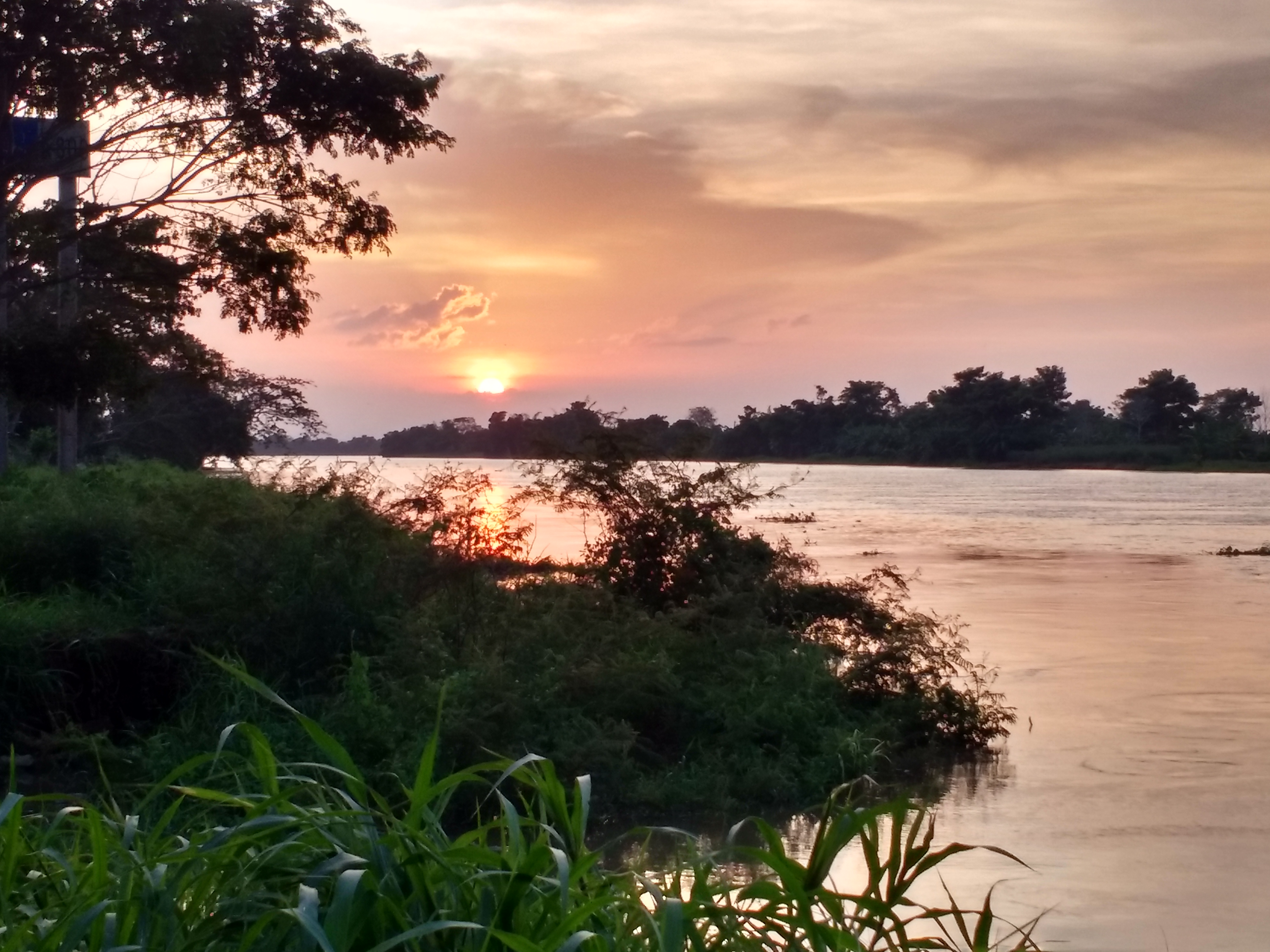
Where the River Meets the Mangroves
That rethinking arrived in 2013, when Colombia partnered with the Dutch firm Royal HaskoningDHV to redesign the canal's hydrology. The Dutch, whose own country exists because of water engineering, proposed something counterintuitive: instead of fighting the sediment, redirect it. Controlled diversions now channel sediment and freshwater to rebuild coastal wetlands rather than clog the shipping lane. The result has been the emergence of new mangrove forests along the canal's Caribbean outlet, ecosystems that serve as nurseries for fish and marine invertebrates. The Canal del Dique is on Colombia's UNESCO Tentative List, recognized not just as a feat of colonial engineering but as a living laboratory for ecological restoration. What began as a commercial shortcut is becoming a model for how infrastructure and nature might coexist.
Marquez's River of Memory
No Colombian writer has been more closely associated with the Magdalena River and its waterways than Gabriel Garcia Marquez. In Love in the Time of Cholera, the canal and the river become characters in their own right, their currents carrying Florentino Ariza through decades of longing. In The General in His Labyrinth, Simon Bolivar makes his final journey down the Magdalena, a dying man on a dying republic's only highway. Marquez understood that in Colombia, water is not scenery. It is history in motion. The Canal del Dique, stretching across the flat, humid lowlands between the river and the sea, still carries that weight. Fishermen work its banks. Barges push through its brown water. Mangroves are reclaiming its edges. The canal endures, as Marquez's characters endure, because giving up was never really an option.
From the Air
Located at 10.15°N, 75.50°W in northern Colombia's Bolivar Department. The canal runs roughly east-west between Calamar on the Magdalena River and Pasacaballos near Cartagena Bay. Visible from 5,000-10,000 feet as a straight line through green lowlands. Nearest airport: Rafael Nunez International Airport, Cartagena (SKCG/CTG), approximately 15 nm west. The canal's eastern terminus at Calamar is about 50 nm southeast of Cartagena. Best viewed in clear weather when the contrast between the brown canal water and surrounding green vegetation is most visible.