Cango Caves
In 1780, a farmer named Jacobus Van Zyl was lowered into darkness. What he found when his eyes adjusted was a chamber as long as a football field, carved by water into Precambrian limestone over hundreds of millions of years. Van Zyl Hall, as that first room came to be called, was only the beginning. The Cango Caves extend for over four kilometers through the foothills of the Swartberg range near Oudtshoorn, a labyrinth of tunnels and chambers that humans had known long before Van Zyl's rope descent -- and that we have still not fully explored.
Older Than Memory
Cave paintings and stone artifacts found within the Cango system tell a story that reaches back through the Middle and Later Stone Ages. People lived in these chambers, or at least used them, over periods spanning tens of thousands of years. The Khoisan people who inhabited this region before European settlement called the Swartberg Mountains kango, meaning a place rich in water -- an apt name for a landscape where subterranean rivers have spent eons dissolving limestone into cathedral-scale voids. A.J.H. Goodwin, an archaeologist at the University of Cape Town, conducted a test excavation in 1930 and found stone tools and cultural material confirming what the paintings already suggested: this was a place of sustained human significance, not merely geological curiosity. The caves' formation in Precambrian limestone makes them among the oldest geological features in the region, their host rock predating the complex life that would eventually walk their floors.
Twenty-Nine Hours Underground
The legend of Johnny van Wassenaer is the kind of story that grows in the telling, but its core details have persisted for more than a century. Van Wassenaer, the caves' first official guide, reportedly walked for twenty-nine hours in 1898 to find where the system ended. When he stopped, he calculated he was twenty-five kilometers from the entrance and 275 meters underground, his route following the course of a subterranean river. Whether his measurements were precise matters less than what they reveal about the caves' scale -- a scale that modern exploration continues to confirm. The first rough survey in 1897 mapped twenty-six chambers, and expeditions since have pushed further into the system, finding more passages that support Van Wassenaer's claim that the caves run far deeper and longer than any tourist route suggests.
A Quarter of the Darkness
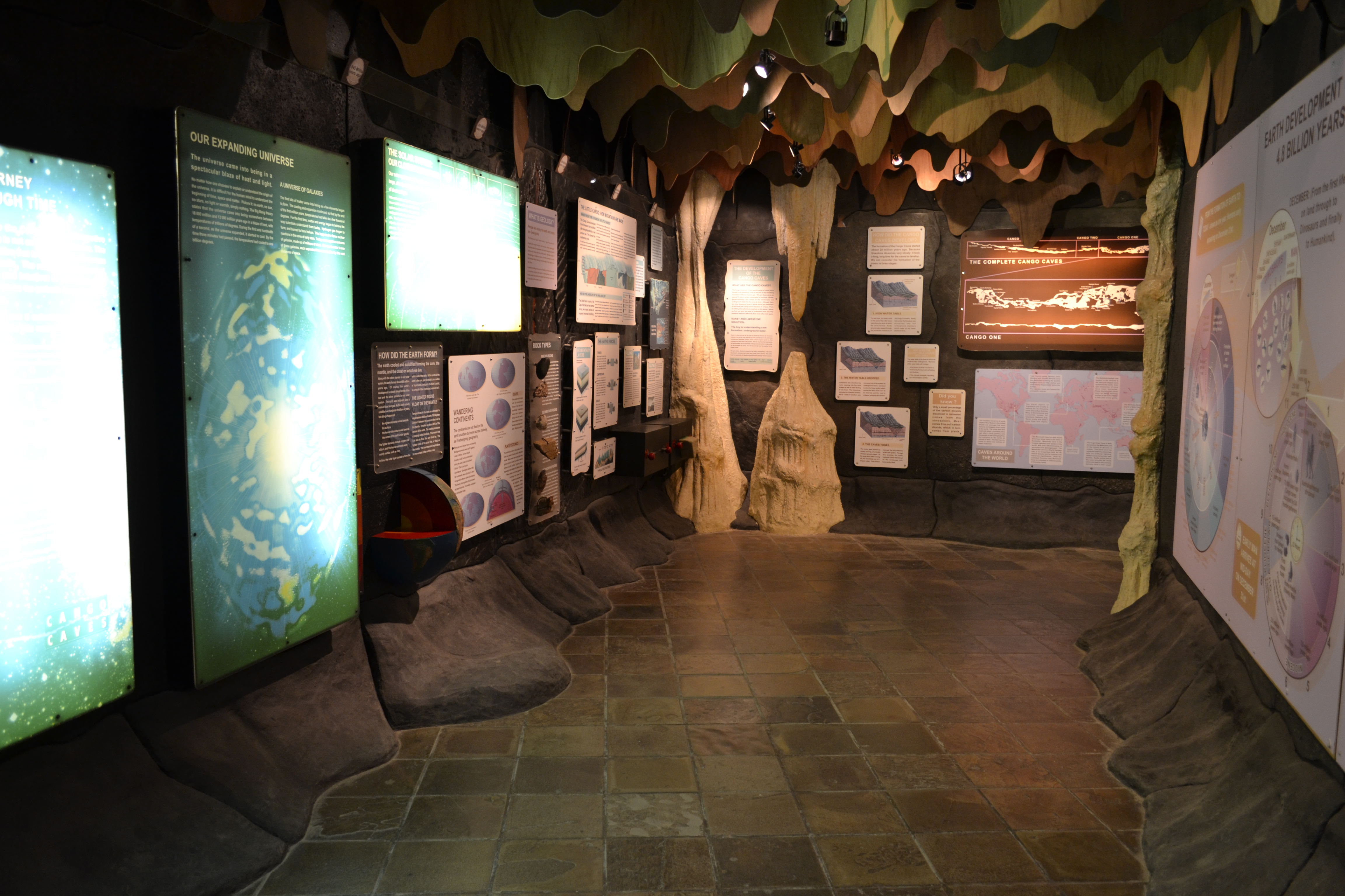
Today, visitors experience roughly one kilometer of the Cango Caves' four-plus-kilometer extent, moving in guided groups through chambers where stalactites and stalagmites have been growing, drip by mineral-laden drip, since before humans existed. The guided format is a concession to both safety and preservation: the formations are fragile, the passages narrow in places, and the ecosystem within the cave is sensitive to the carbon dioxide and warmth that human bodies introduce. Two tour routes exist -- the standard Heritage Tour through the larger, more accessible chambers, and the Adventure Tour, which requires crawling through tight passages and climbing over rock formations. The caves have been a popular tourist destination almost from the moment of their modern rediscovery. By 1792, just twelve years after Van Zyl's descent, a second chamber had been discovered, and the site was already drawing visitors. Dr. Andrew Smith visited in 1829, driven by scientific curiosity. The Cango Caves have been a South African landmark ever since -- one of those places whose reputation precedes the visit, and whose reality exceeds it.
Still Reaching
What makes the Cango Caves compelling is not just their beauty but their incompleteness. Each survey has revealed more than the last. The system's full extent remains unknown, which means that somewhere beyond the tourist lights, beyond the mapped chambers, the limestone continues to dissolve and the subterranean rivers continue to carve. The caves sit at the junction of deep time and living geology, a place where Precambrian rock is still being reshaped by the same hydrological processes that created it. For the Khoisan peoples who named these mountains for their water, and for Van Zyl who first dangled into that football-field-sized void, the Cango Caves have always promised that there is more below than what can be seen from the surface.
From the Air
Coordinates: 33.39S, 22.22E, in the foothills of the Swartberg range just north of Oudtshoorn. The cave entrance is not visible from altitude, but the Cango Valley and surrounding limestone outcrops are identifiable. Nearest airports: Oudtshoorn (FAOH), George (FAGG). Best viewed at 6,000-8,000 ft AGL. The Swartberg ridgeline to the north provides excellent orientation. Clear weather preferred -- mountain cloud can obscure the valley.