Cape Chignecto Provincial Park
The tides here are patient destroyers. Twice a day, the Bay of Fundy pushes 12 metres of water against the cliffs at Cape Chignecto, carving sea stacks, gouging caves, and reshaping a coastline that has been under siege since long before anyone thought to build a park around it. Nova Scotia's largest provincial park occupies 42 square kilometres of this contested edge, where the land's geology and the ocean's force have been locked in a slow argument for millions of years. The result is some of the most dramatic coastal scenery in eastern Canada, anchored by the highest cliffs on mainland Nova Scotia at 200 metres.
Where Continents Collided
The cliffs at Cape Chignecto are not merely tall. They are a geological record of continental collision along the Cobequid fault, where tectonic forces crumpled and folded the earth's crust into formations that now stand exposed to the full power of the Fundy tides. Along 30 kilometres of wilderness coastline, the park displays raised beaches lifted by geological uplift, basalt sea stacks standing offshore like sentinels, and caves hollowed by millennia of salt water. The headland itself divides the Bay of Fundy, with Chignecto Bay to the north and the Minas Channel leading to the Minas Basin to the east. In 2020, the park became part of the UNESCO Cliffs of Fundy Global Geopark, a designation that recognized the coastline's significance as a record of deep geological time.
Fog Forests and Endangered Herds
Warm summer air meeting the cold tidal waters of the Bay of Fundy produces fog with striking regularity. That persistent moisture creates conditions more typical of a temperate rainforest than a Maritime province, nurturing what locals call fog forests: stands of large red spruce draped in rare and endangered lichens. The park's high southern cliffs support species of vetch and primrose with alpine characteristics found nowhere else in Nova Scotia. Below the canopy, Cape Chignecto provides critical habitat for the province's endangered mainland moose herd, one of the few places where the animals can find the seclusion they need to survive. The mix of coastal exposure, altitude, and moisture creates ecological niches that are improbable this far south and east.
Ghost Towns and Refugee Coves
The park is not pristine wilderness. It is wilderness that has reclaimed human settlements. The ghost towns of Eatonville and New Yarmouth lie within its boundaries, their abandoned logging camps and saw mills being slowly consumed by forest. Eatonville once had a harbour, a mill, and a shipyard. Now its saltmarsh is returning to a state the first European settlers would not recognize. More poignant is Refugee Cove, a secluded ravine where Mi'kmaq people sheltered Acadians fleeing the British Expulsion of the Acadians in the mid-18th century. The cove's name preserves a story of solidarity in the face of ethnic cleansing, a human history written into a landscape that most visitors experience only as dramatic scenery.
Tides That Trap
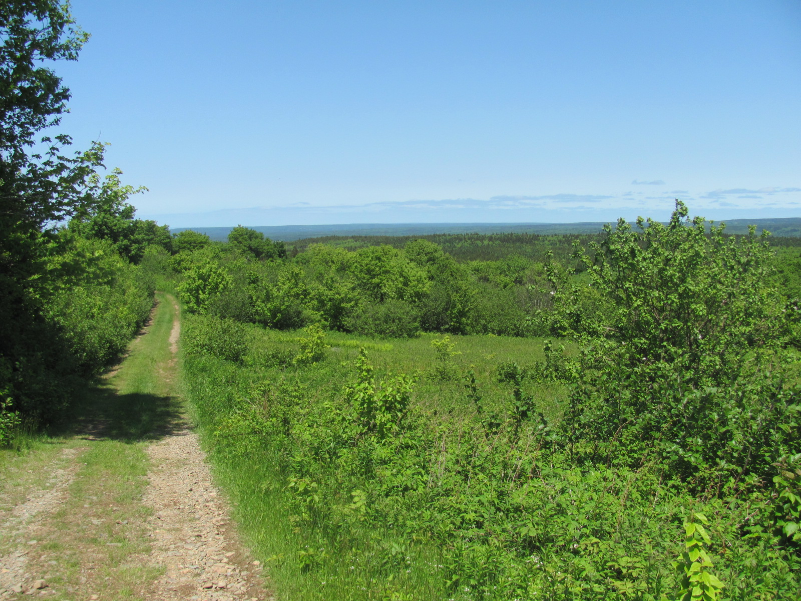
Hikers at Cape Chignecto learn to respect the tide tables. The 12-metre tidal range along the park's coastline produces rip currents and rapid flooding at certain points, and several hikers have been trapped against sheer cliffs by rising water. In July 2014, a couple and their dog had to be rescued by helicopter from CFB Greenwood after tides pinned them at Eatonville. The park maintains over 50 kilometres of trails, from day hikes to multi-day backpacking routes connecting 51 backcountry campsites, 28 walk-in sites, and several rentable cabins and bunkhouses. The Three Sisters sea stacks at Eatonville mark the beginning of the UNESCO Geopark trail, and a mothballed fire tower at New Yarmouth, closed since 2012, sits at the park's highest point. Cape Chignecto opened to the public in 1998, managed initially by a local community organization before the province took over in 2012.
From the Air
Located at 45.35N, 64.83W on the Bay of Fundy coast of Nova Scotia. The park's 200-metre cliffs and sea stacks are visible along the coastline from moderate altitude. The headland divides Chignecto Bay (north) from the Minas Channel (east). Nearest airport is Greater Moncton Romeo LeBlanc International Airport (CYQM), approximately 130 km northeast. CFB Greenwood (CYGD) is approximately 120 km southeast. The Three Sisters sea stacks at Eatonville are a distinctive visual landmark.