Cape Hatteras: The Graveyard of the Atlantic
The collision happens offshore. The warm Gulf Stream, flowing north from Florida, meets the cold Labrador Current pushing south. The meeting creates chaos: shifting sandbars, unpredictable currents, sudden storms. Ships caught in Diamond Shoals, the underwater barrier extending 14 miles from Cape Hatteras, have been driven aground for centuries. Over 2,000 vessels have wrecked in these waters - so many that locals built an economy on salvage. The Graveyard of the Atlantic earned its name in bodies and treasure. The iconic spiral-striped lighthouse, tallest brick lighthouse in America, has warned mariners since 1870. Ships still wreck here. The currents don't read lighthouses.
The Geography
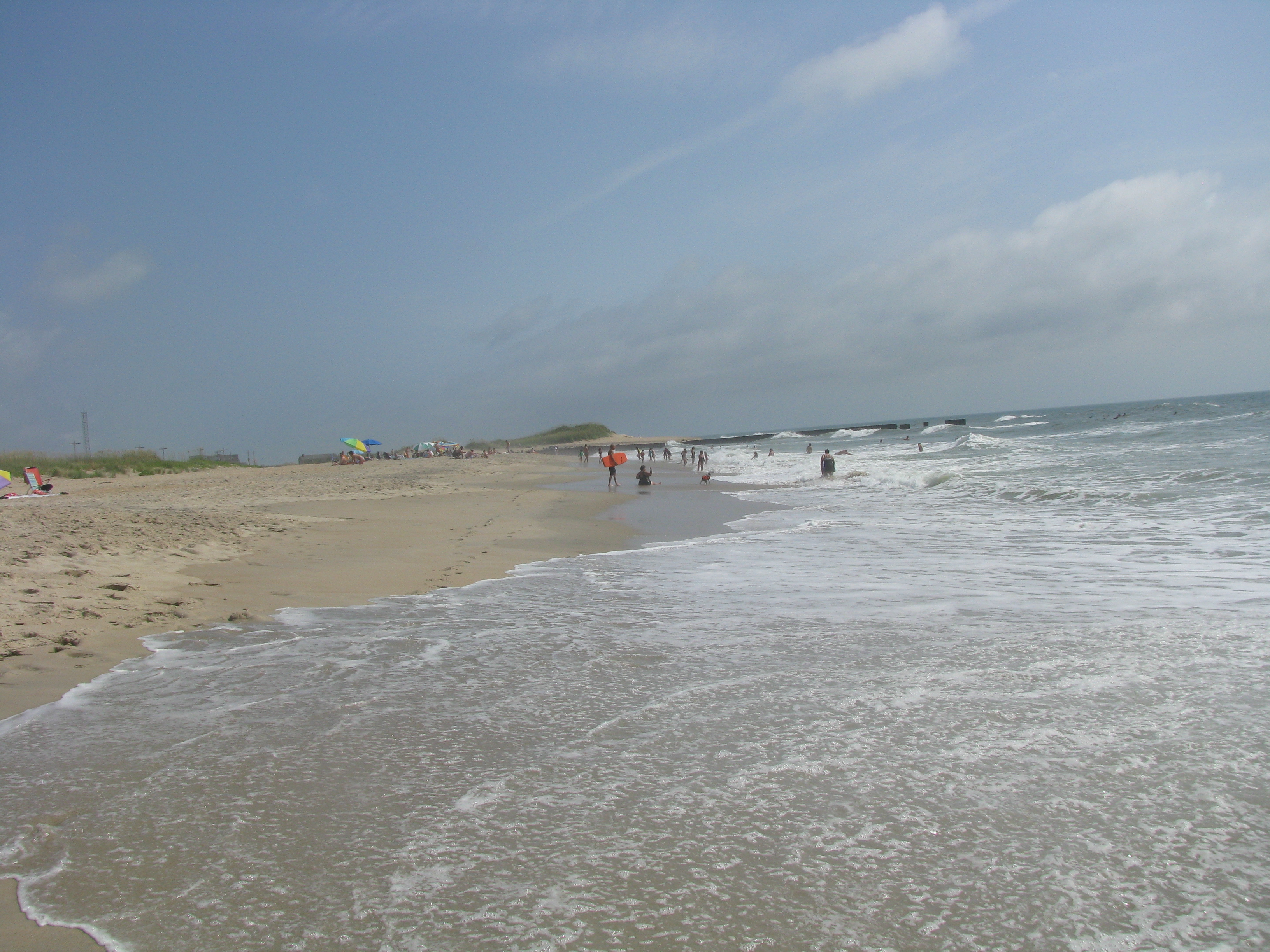
Cape Hatteras juts into the Atlantic from North Carolina's Outer Banks, a thin strip of barrier islands sheltering Pamlico Sound. The cape marks where the warm Gulf Stream, hugging the coast as it flows from the Caribbean, finally curves eastward toward Europe. Cold currents from the north flow into the void. The meeting zone produces Diamond Shoals - shifting sandbars extending miles offshore, invisible until a hull strikes them. The shoals move constantly; charts become obsolete. Add frequent hurricanes, nor'easters, and thick fog, and the conditions that created a graveyard become clear. The geography is beautiful and lethal.
The Wrecks
The toll defies complete counting. The first documented wreck was the Tiger in 1585, carrying colonists to Roanoke. The worst period came during World War II, when German U-boats hunted merchant shipping within sight of shore - over 400 vessels sunk in what became 'Torpedo Alley.' Famous wrecks include the USS Monitor, the ironclad whose revolutionary design changed naval warfare, lost in a storm in 1862 and rediscovered in 1973. Wrecks from every era litter the seabed: wooden schooners, iron steamers, tankers, destroyers. Some are visible at low tide; others lie in depths accessible only to divers. The graveyard accepts all comers.
The Lighthouse
The Cape Hatteras Light has stood sentinel since 1870 - the third lighthouse on the site, built taller to reach beyond the treacherous shoals. At 198 feet, it remains the tallest brick lighthouse in America. The distinctive black and white spiral stripes, chosen for visibility against both sky and sand, made it iconic. The original first-order Fresnel lens, visible 20 miles at sea, has been replaced by modern optics. In 1999, the entire lighthouse was moved 2,900 feet inland to escape beach erosion - an engineering feat that preserved the structure for future generations. The lighthouse still functions, its beam rotating every 7.5 seconds.
The Legacy
The Outer Banks developed around shipwrecks. Lifesaving stations, predecessors to the Coast Guard, were established at regular intervals along the beaches. Surfmen patrolled the shore, ready to launch rescue boats into murderous surf. When rescue failed, salvage followed - valuable cargo recovered from wrecks provided income to isolated communities. The culture of the Banks was shaped by the sea's violence: resilience, seamanship, a matter-of-fact relationship with death. Today, the wrecks draw recreational divers; some sites are accessible from shore. The graveyard has become an attraction, its toll transformed into heritage.
Visiting Cape Hatteras
Cape Hatteras National Seashore encompasses 70 miles of the Outer Banks, accessible via NC Highway 12 from the north (ferry from Ocracoke to the south). The lighthouse offers climbing tours seasonally - 257 steps to panoramic views. The Graveyard of the Atlantic Museum in Hatteras village interprets the maritime heritage. Wreck diving is popular; charter operators serve experienced divers. Beaches are undeveloped and beautiful. Lodging is available in villages along the seashore. Hurricane season (June-November) brings closures and evacuations; check conditions. The combination of historic lighthouse, wild beaches, and maritime history makes Cape Hatteras essential for anyone interested in the Atlantic coast.
From the Air
Located at 35.25°N, 75.54°W on North Carolina's Outer Banks. From altitude, Cape Hatteras appears as a sharp bend in the barrier islands, jutting into the Atlantic where the land makes its closest approach to the Gulf Stream. Diamond Shoals are visible in calm conditions as lighter-colored shallow water extending southeast from the cape. The distinctive lighthouse is visible as a small structure near the cape's point. Pamlico Sound stretches behind the barrier islands, a vast shallow lagoon. The Outer Banks chain extends north and south, a fragile ribbon separating sound from sea. The currents that create the graveyard are invisible from altitude; only the bent geography hints at the violent forces meeting below.