Caribbean Sea
Ask where "the Caribbean" begins, and you start an argument. The word names a sea, a culture, a cuisine, a rhythm, a colonial wound, and a vacation fantasy all at once. But the sea itself has cleaner borders than its meaning. Bounded by Cuba and Puerto Rico to the north, by volcanic islands from the Virgin Islands to Trinidad to the east, by Venezuela and Colombia to the south, and by Central America and Mexico's Yucatan Peninsula to the west, the Caribbean Sea covers roughly 2.75 million square kilometers of tropical ocean. Its deepest point, the Cayman Trough between the Cayman Islands and Jamaica, plunges more than 7,686 meters below the surface - deeper than any point in the Mediterranean. This is an ocean basin with its own tectonic plate, its own current system, and a human history so layered that archaeologists, economists, and musicians are still sorting through it.
Named by the Conquered
The sea takes its name from the Caribs, one of the indigenous peoples who inhabited the Lesser Antilles when Christopher Columbus arrived in 1492. The Spanish initially called these waters the Sea of the Antilles, a name still used in several European languages. But the Carib name stuck in English, an irony not lost on historians - the people who gave the sea its name were among the first to be displaced from its shores. Before European contact, the Caribbean was home to the Taino, the Arawak, the Caribs, and dozens of other peoples whose trade routes crisscrossed the sea in canoes capable of island-to-island voyages. Columbus thought he had found the outer edge of Asia. What he had actually found was a civilization with its own navigation, agriculture, and politics - one that would not survive the century of contact that followed.
The Pirate's Highway
For two centuries after Columbus, the Caribbean was the most contested body of water on Earth. Spain claimed it first and extracted staggering wealth - gold, silver, sugar, enslaved labor - shipping it east through sea lanes that became irresistible targets. England, France, the Dutch Republic, and even the Duchy of Courland all established colonies, fought naval battles, and licensed privateers to raid each other's commerce. The line between privateer and pirate blurred constantly. Samuel Bellamy, Edward Teach - known as Blackbeard - and Henry Morgan all operated in these waters, their careers made possible by the Caribbean's geography: hundreds of islands, hidden coves, shallow channels that large warships could not navigate. By the 18th century, the sea that had funded the Spanish Empire was funding its rivals. Today, 22 island territories and 12 continental countries border the Caribbean, a political fragmentation that traces directly to those centuries of imperial competition.
A Living Reef, Under Pressure
Beneath the surface, the Caribbean holds the Mesoamerican Barrier Reef, the second-largest barrier reef system on Earth. Stretching over 1,000 kilometers along the coasts of Mexico, Belize, Guatemala, and Honduras, it supports an ecosystem of staggering diversity - from nurse sharks and sea turtles to the tiny reef fish that tourists come to see. The reef's annual economic value to Caribbean nations has been estimated at $3.1 to $4.6 billion, sustaining fishing industries and dive tourism alike. But the reef is in trouble. Rising sea temperatures have triggered repeated coral bleaching events, and reef-dependent fisheries have declined sharply. Marine biota in the Caribbean include species with origins in both the Indian and Pacific oceans, trapped here when the Isthmus of Panama rose roughly four million years ago, sealing the Caribbean off from the Pacific. That geological isolation created a unique marine world - one that warming oceans and coastal development now threaten to unravel.
Currents, Hurricanes, and the Gulf Stream
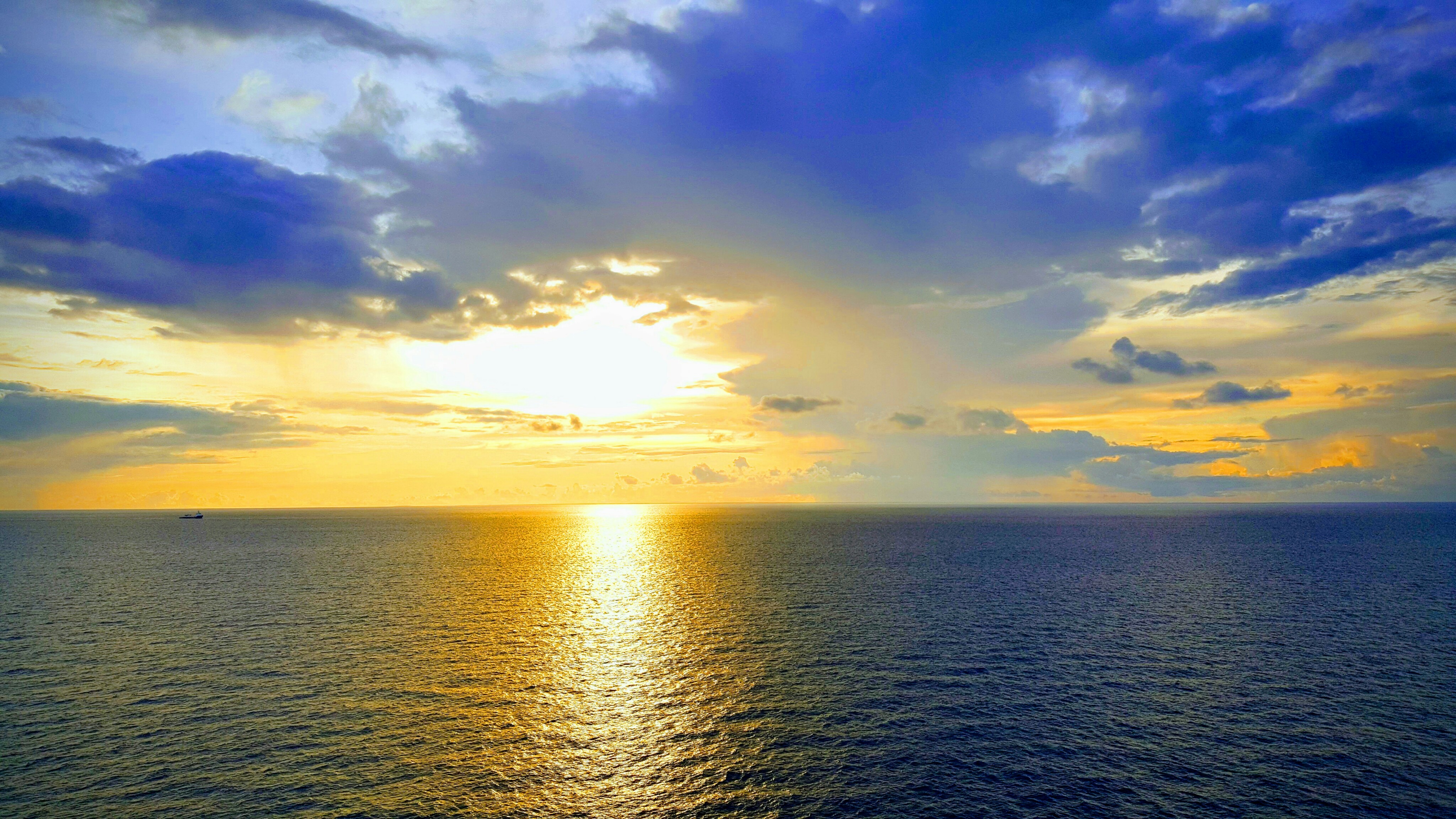
The Caribbean is not a still pool. Warm equatorial currents enter through gaps between the Lesser Antilles, flow westward across the basin, and exit through the Yucatan Channel into the Gulf of Mexico, where they become the Gulf Stream - the great Atlantic current that moderates Europe's climate. This circulation makes the Caribbean one of the warmest seas on the planet, with surface temperatures rarely dropping below 26 degrees Celsius. That warmth is the engine behind the Atlantic hurricane season. Storms born off the west coast of Africa intensify as they cross the Caribbean's heated waters, feeding on energy the sea stores during months of tropical sun. Coastal communities live with the annual knowledge that the next season could bring devastation. In the past half-century, oceanographers have tracked three distinct phases in the Caribbean's hydrology, each reflecting broader shifts in Atlantic circulation patterns that scientists are still working to understand.
Oil, Tourism, and the Weight of Use
The modern Caribbean carries the weight of its own desirability. It is one of the world's largest oil-producing regions, generating approximately 170 million tonnes of crude annually from fields in Venezuela, Trinidad, and the Gulf of Mexico margins. It is also among the world's most popular tourism destinations, drawing tens of millions of visitors each year to beaches, resorts, and cruise ports. These two economies coexist uneasily - oil spills threaten the same reefs and fisheries that tourism depends on, while cruise ships and resort development strain coastal ecosystems. The nations that border the Caribbean range from some of the wealthiest in the Americas to some of the poorest, a disparity that reflects not geography but history: who colonized whom, what was extracted, and what was left behind. The sea washes the shores of Venezuela and the Cayman Islands with equal indifference, its currents connecting economies and ecologies that politics keeps apart.
From the Air
Centered at approximately 15.0N, 75.0W, the Caribbean Sea stretches roughly 3,200 km east-west and 1,500 km north-south. From cruising altitude, the color shift from deep Atlantic blue to turquoise Caribbean shallows is visible as you cross the Lesser Antilles island arc. Major airports ringing the sea include MKJP (Kingston, Jamaica), MUHA (Havana, Cuba), TJSJ (San Juan, Puerto Rico), MDSD (Santo Domingo, Dominican Republic), TNCM (Sint Maarten), TBPB (Barbados), and MMMX (Mexico City) with connections through MMCZ (Cancun). The Cayman Trough is visible as a dark channel between Jamaica and the Cayman Islands. The Mesoamerican Barrier Reef is best spotted from lower altitudes along the Belize and Honduras coasts. Hurricane season runs June through November; expect convective weather patterns throughout summer months.