Caribou Wilderness
Twenty-three lakes have no names here. They shimmer anonymously among the cinder cones, reflecting nothing but sky and the dark spires of lodgepole pine. The Caribou Wilderness has been protected so long that most visitors find it strange to encounter such genuine solitude just fifty miles from Redding. Since 1932, this volcanic plateau on the eastern flank of Lassen Volcanic National Park has remained essentially unchanged, making it one of the few pristine old-growth forests left in the California Cascades.
The Volcanic Canvas
The terrain tells an elemental story. Seventy-five percent of the wilderness is water and forest; the rest is bare volcanic architecture. Cinder cones punctuate the skyline. Talus slopes tumble down from cliff faces. Red Cinder, the high point at 8,363 feet, anchors the boundary between wilderness and national park. North Caribou, South Caribou, and Black Butte complete a quartet of peaks that rise from a landscape shaped entirely by fire and ice. The 23 named lakes and countless unnamed tarns fill glacial depressions, their waters so clear they seem bottomless. No streams flow year-round here, yet the wilderness provides the headwaters for both the Susan River and Bailey Creek, a tributary of the Feather River.
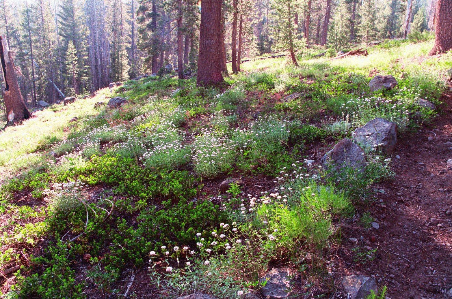
A Forest's Quiet Machinery
Walk the trails and you walk through a living catalog of California conifers: lodgepole pine, Jeffrey pine, ponderosa pine, Douglas fir, white and red fir, western white pine, incense cedar, and hemlock. Above, bald eagles and ospreys patrol the thermals. Mergansers and grebes work the lakes. Below, where most visitors never look, fungi run the forest's invisible economy. Cup fungi consume dead organic matter. The king bolete, prized by foragers, forms partnerships with tree roots. Along certain trails, you may spot red-belt fomes on the bark of fir trees, its lacquered surface a warning of the brown rot spreading within. Even decay has its place in old-growth wilderness.
Born from Bureaucratic Rivalry
The Caribou's protection came from an unlikely source: federal agency competition. When the National Park Service was created in 1916, it began carving new parks from Forest Service lands. The Forest Service responded by designating primitive areas in 1929, protecting its territory from further acquisition. The Caribou became a primitive area in 1932. Economist David Gerard later documented this turf war between the Interior Department's Park Service and Agriculture's Forest Service. The maneuvering that followed, lasting until 1964, inadvertently created the framework for America's wilderness preservation system. The Wilderness Act that year transformed the Caribou from primitive area to federally designated wilderness.
Wilderness Without Barriers
Three trailheads open the Caribou to exploration: Hay Meadows from the south, Cone Lake from the north, and Silver Lake from the east. Silver Lake sees the most traffic. The terrain cooperates with hikers. Moderate hills and valleys make travel by foot or horseback relatively easy. No wilderness permits are required, only a California campfire permit if you plan an open fire. Lakes lie within two miles of any trailhead. Loop trips of any length are possible. Backcountry routes connect to Lassen Volcanic National Park to the west. Off-trail travel remains challenging, as it should be. Fallen trees and wet meadows guard against any illusion that this land was made for human convenience.
What Pristine Means
Pristine gets used carelessly, but the Caribou earns it. Ninety-plus years of continuous protection means the old-growth forest here never saw the chainsaw. Twenty-one lakes are stocked by air with rainbow trout, a concession to recreation that leaves no road scars. Black-tailed deer and black bear move through unmolested. The protected pine marten hunts without harassment. What you find in the Caribou is what California's Cascade forests looked like before California became a state. The Forest Service once proposed adding Indian Meadow and the lake for which the wilderness is named, citing ancient stands of white fir, western white pine, sugar pine, and incense cedar. The proposal failed in 2006, but what remains protected is enough to remind us what we nearly lost everywhere else.
From the Air
Located at 40.50N, 121.20W, east of Redding, California. Best viewed from 8,000-10,000 feet AGL. The volcanic plateau and numerous lakes are clearly visible in good weather. Look for the distinctive cinder cones and the contrast between forest and bare volcanic rock. Red Cinder (8,363 ft) marks the boundary with Lassen Volcanic National Park to the west. Nearest airports: Redding Municipal (KRDD) approximately 50nm west, Chester Rogers Field (O32) approximately 25nm southeast.