Carlsbad, California
The city of Carlsbad sits on a series of coastal terraces above the Pacific, layered like a staircase from the beach to the inland ridgelines. Its 40 miles of trails connect lagoons, flower fields, and residential neighborhoods in a geography that feels designed, because much of it was. Carlsbad is one of the few California cities that has used growth management tools aggressively enough to shape its development over decades — limiting residential density, requiring open space, building a trail network that predated rather than followed growth. The result is a city that feels different from its neighbors: more spacious, more trail-connected, more deliberate. Whether that deliberateness has served all its residents equally is a different question.
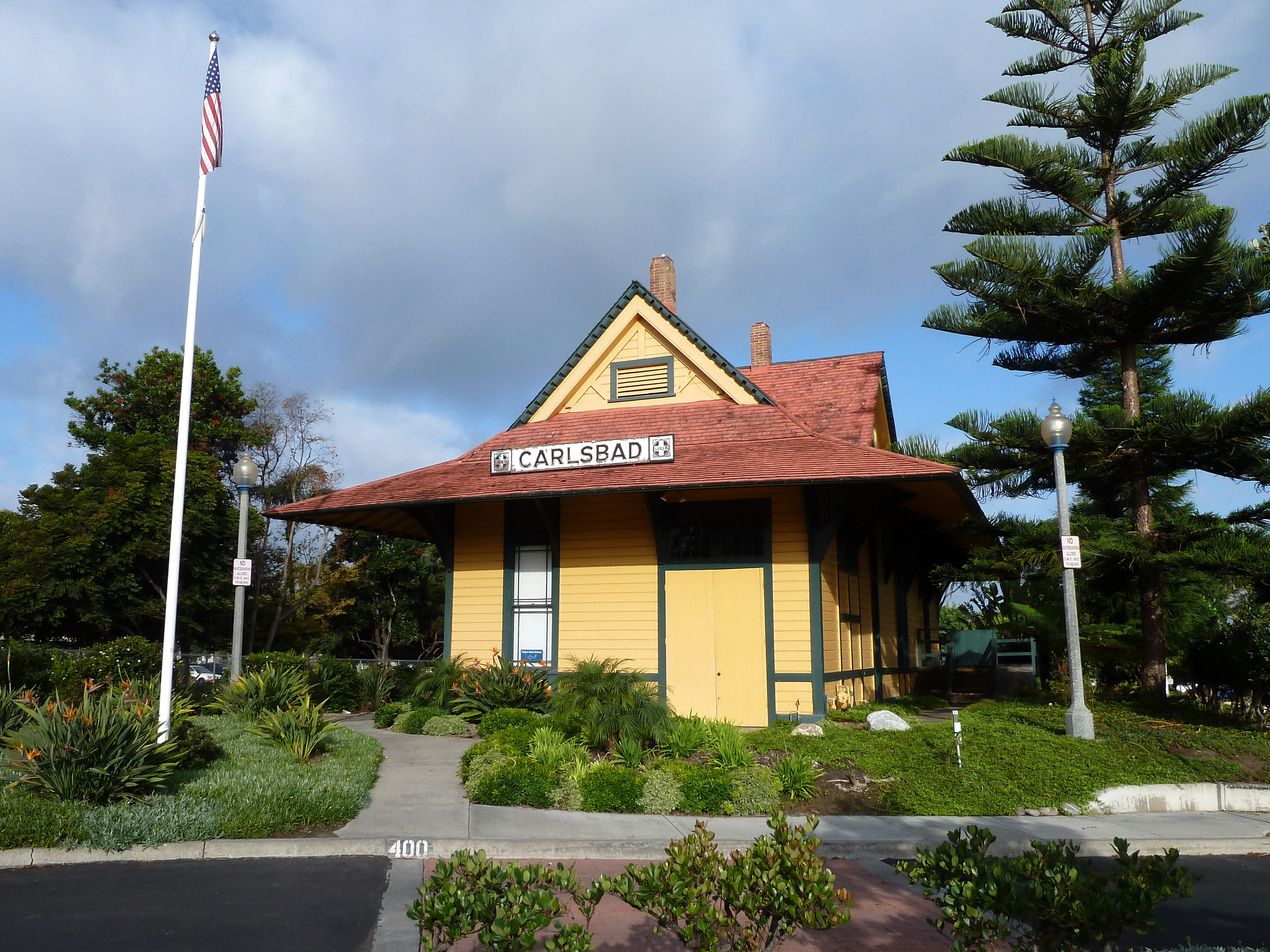
From Spring to City
Carlsbad's origin story runs through a mineral spring discovered in 1882 by Captain John A. Frazier while drilling for fresh water. The water tasted like the springs of Karlsbad, Bohemia — a comparison that led someone to name the California hotel that followed, the train station after the hotel, and the town after the station. The Southern California land boom of the 1880s carried settlers north from San Diego along the railroad, and Carlsbad incorporated as a city in 1952. By then, the health-tourism premise that named the place had been largely forgotten; the city was growing for the reasons all of coastal Southern California was growing — climate, space, and proximity to the larger San Diego economy.
What the Fields Are For
The flower fields north of the Carlsbad Village area bloom each spring in bands of color visible from Interstate 5 — ranunculus in red, white, yellow, and pink, arranged in rows across the hillside. The Flower Fields at Carlsbad Ranch are a commercial growing operation that opens to visitors during the bloom season, drawing crowds that line the entrance road on weekends in March and April. The fields have become one of the region's most photographed seasonal spectacles, serving as a visual emblem of a city that has otherwise become suburban in its texture. They survive because the land they occupy is zoned for agriculture as part of a development arrangement, not because Carlsbad has remained agricultural. The flowers are an exception maintained intentionally, a piece of the valley's earlier character preserved by negotiation.
The Lagoons That Frame the City
Carlsbad is bracketed by coastal lagoons: Agua Hedionda to the north, Batiquitos to the south. Both lagoons have been shaped by industrial and urban development and restored, partially, by environmental effort. Both provide habitat for birds and fish species that require the tidal connection to the Pacific that the lagoons maintain. Both run roughly parallel to the coast, separated from the ocean by the BNSF rail line and a narrow strip of beach. From altitude, the lagoons read as blue irregular shapes interrupting the beige-and-grey texture of coastal development — reminders that the coastline before development was not a continuous built edge but a sequence of wetlands, beaches, and rocky headlands that the city has partially reclaimed and partially buried under its infrastructure.
From the Air
Carlsbad spans approximately 33.1°N to 33.18°N along the north San Diego County coast, centered near 117.35°W. The city is visible from altitude as a broad coastal development with two lagoons (Agua Hedionda to the north, Batiquitos to the south) clearly visible as blue features. The flower fields appear in spring as a colorful hillside band visible from altitude near the city's center. Nearby airports: KOKB (Oceanside Municipal, ~5 nm north), KSEE (Gillespie Field, ~20 nm southeast). Recommended viewing altitude 3,000–6,000 ft AGL.