Carrizo Plain: California's Secret Serengeti
There's a place in California that looks like California used to look. The Carrizo Plain sprawls across 250,000 acres of grassland between the Coast Ranges, empty of development, inhabited by antelope and kit foxes and creatures that have been pushed from everywhere else. The San Andreas Fault runs through its length, visible from space as a scar across the landscape. Most years, the plain is brown and quiet. But when winter rains fall just right, the entire valley explodes into color - wildflower superblooms so intense they're visible from aircraft, transforming empty grassland into an impressionist canvas. Then the flowers die, the brown returns, and Carrizo waits for the next wet year.
The Remnant
The Carrizo Plain is the largest remaining example of California's native San Joaquin Valley grassland ecosystem - over 90% of which was destroyed by agriculture. The plain survived because it's dry. Annual rainfall averages seven inches; irrigation isn't practical; farmers went elsewhere. What they left behind is California before California: tule elk, pronghorn antelope, San Joaquin kit foxes, blunt-nosed leopard lizards, and dozens of endangered species that exist almost nowhere else. The plain isn't pristine - cattle grazed here for a century - but it's closer to original than almost anywhere in the state.
The Fault
The San Andreas Fault bisects the Carrizo Plain with geological clarity rare anywhere on Earth. The fault line is visible from high ground as a linear valley cutting across the landscape, streams offset by millions of years of lateral movement. Wallace Creek, the textbook example of a fault-offset stream, shows 130 meters of displacement in 3,700 years - you can see where the creek used to flow before the fault dragged its outlet northward. Geologists come here to study earthquake history; the sediments preserve a record of ancient ruptures. The Big One will move this landscape again.
The Superbloom
California superblooms require specific conditions: heavy winter rain, warm spring temperatures, and absence of late frost. These conditions align every few years, sometimes every decade. When they do, the Carrizo Plain transforms. Yellow goldfields, purple phacelia, orange poppies, and white tidy tips create color blocks visible from space. Instagram discovered the superblooms in 2017 and 2019, bringing crowds that overwhelmed the plain's dirt roads and trampled the flowers. The monument restricts access during peak bloom now, protecting flowers from their admirers. Most years, you'll see brown grass. Some years, you'll see heaven.
The Wildlife
The Carrizo Plain shelters creatures pushed to the edge. The San Joaquin kit fox, smallest of North American foxes, survives here in one of its last strongholds. The blunt-nosed leopard lizard - endangered, unique to California - lives in the plain's grassland. Pronghorn antelope, reintroduced after local extinction, race across the valley at 55 mph. Tule elk, once numbering millions, survive in small herds. The plain is a refuge, a last stand for species that agriculture displaced everywhere else. The emptiness that spared the land now protects the life within it.
Visiting Carrizo Plain
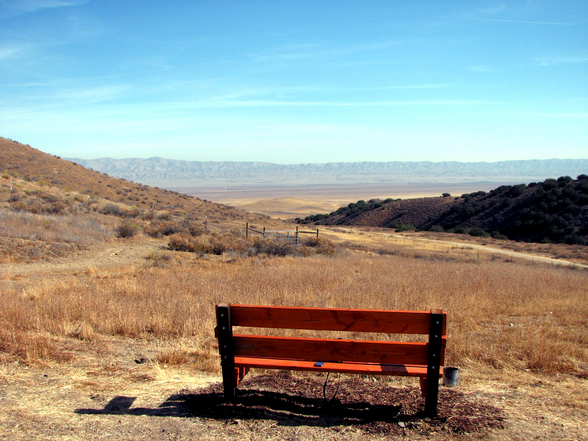
Carrizo Plain National Monument is located west of Bakersfield via Highway 58 and Soda Lake Road. Roads are unpaved and can be impassable after rain. There's no gas, food, or lodging in the monument - bring everything. The Goodwin Education Center provides maps and information when staffed (weekends, spring). Soda Lake viewpoint offers the best superbloom photography when conditions align. Wallace Creek interpretive trail explains the San Andreas Fault. Camping is primitive; backcountry permits aren't required but water is. Spring visits offer potential wildflowers; winter offers solitude and wildlife. Check conditions before driving; the isolation that preserved this place makes visiting a commitment.
From the Air
Located at 35.16°N, 119.81°W in eastern San Luis Obispo and western Kern Counties, California. From altitude, the Carrizo Plain is visible as a long, narrow valley between the Temblor Range to the east and Caliente Range to the west. The San Andreas Fault trace cuts through the valley as a visible linear feature. Soda Lake, an alkali flat, gleams white in the valley center. During superblooms, the plain appears as colorful patches against brown grassland - visible from commercial aircraft altitude. The terrain is empty: no towns, few roads, just grassland that looks like California before development changed everything.