Cascade-Siskiyou National Monument
Three mountain ranges meet here, and nothing about this landscape makes ecological sense. The Cascade Range marches down from the north with its volcanic peaks and Douglas firs. The Klamath-Siskiyou system arrives from the west, carrying ancient lineages that predate the Ice Ages. The Great Basin pushes in from the east with its sagebrush and juniper. Where they collide, along the Oregon-California border, evolution has produced a tangle of life so dense and strange that scientists convinced President Bill Clinton to protect it for a reason never before used: biodiversity itself.
Where Mountains Collide
The Cascade-Siskiyou National Monument spans the Siskiyou crest, a topographic barrier that forces species from three distinct bioregions to intermingle. The result is a living laboratory of adaptation. Green's mariposa lily, with its delicate cream-colored petals marked by purple crescents, grows only on these specific slopes. Gentner's fritillary, a federally endangered flower with mottled brown and yellow bells, persists in small pockets of oak woodland within the monument's boundaries. Two hundred bird species have been documented here, including threatened and endangered populations that find refuge in habitats found nowhere else in such close proximity.
Deep Roots
The Modoc, Klamath, and Shasta peoples knew this land for thousands of years before European settlers arrived. Archaeological excavations have uncovered nearly 100 dwelling and root-gathering sites, evidence of sustained habitation in a landscape that provided everything from game to the camas bulbs that formed a dietary staple. By the 1880s, white settlers had displaced the indigenous inhabitants, leaving behind mining cabins that still dot the ridgelines. Pilot Rock, the monument's most dramatic natural feature, rises as a volcanic neck, the solidified core of an extinct volcano exposed by millennia of erosion. Formed the same way as Devils Tower in Wyoming, it served as a navigation landmark for travelers crossing the Siskiyou Summit.
The View from Soda Mountain
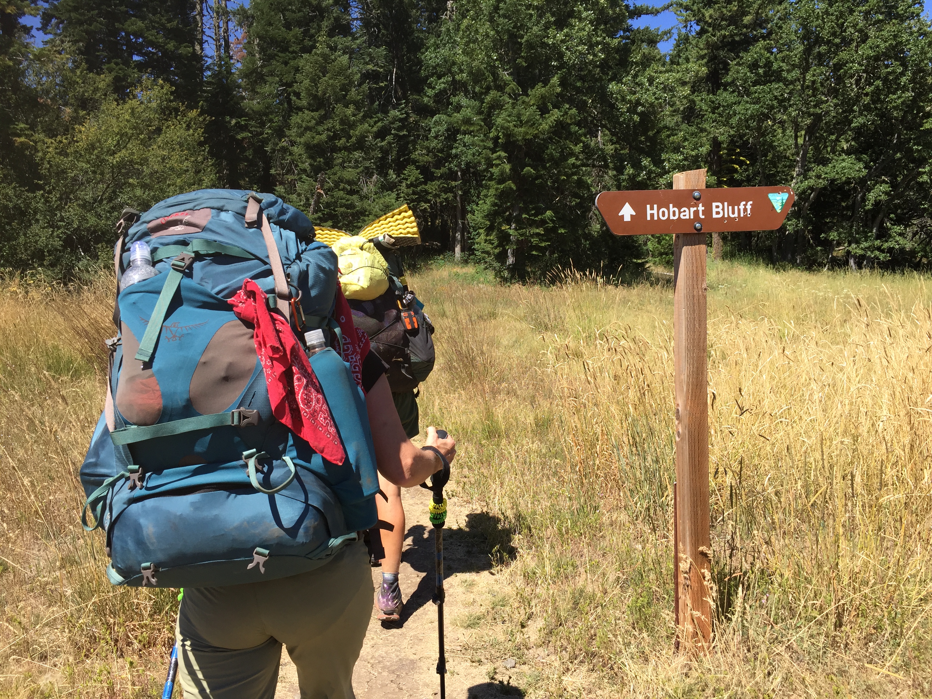
A fire lookout tower has stood atop Soda Mountain since 1933, replaced by the current structure in 1962. The summit bristles with television and radio antennas, but the view from the lookout remains unobstructed. Mount Shasta rises to the south, its glaciated cone unmistakable against the California sky. Mount Ashland anchors the western horizon. Mount McLoughlin, the highest peak in Southern Oregon, dominates the northeast. On exceptionally clear days, the rim of Crater Lake appears as a faint line against the distant blue. The Pacific Crest Trail threads through this landscape, carrying hikers between these volcanic sentinels on their 2,650-mile journey from Mexico to Canada.
A Monument Contested
President Clinton established the Cascade-Siskiyou National Monument in 2000, marking the first time the Antiquities Act had been invoked solely to protect biological diversity. The designation did not end controversy. Local ranchers and timber interests opposed restrictions on grazing and logging. In January 2017, President Obama expanded the monument significantly, adding acreage in both Oregon and Northern California. Federal judges in Washington, D.C. and Oregon initially issued conflicting rulings on the expansion's legality, particularly regarding its overlap with Oregon and California Railroad Revested Lands managed for timber production. By 2023, both the 9th Circuit and D.C. Circuit Courts of Appeals had upheld the expanded boundaries. The Supreme Court declined to hear further appeals in 2024.
Life in the Crossroads
The rough-skinned newt glides through the monument's streams, its orange belly a warning of the tetrodotoxin in its skin. Black bears lumber through mixed coniferous forests where blue elderberry provides summer forage. The monument's significance lies not in any single species but in the improbable density of life compressed into this ecological crossroads. Scientists documented 85 formal endorsements for the monument's expansion, recognizing that protecting biodiversity here means preserving evolutionary processes still unfolding where the mountains meet. The Bureau of Land Management now balances recreation, conservation, and the private inholdings that remain scattered through the monument, managing a landscape that exists because three mountain ranges refused to stay separate.
From the Air
Cascade-Siskiyou National Monument is centered near 42.078N, -122.461W, straddling the Oregon-California border in the Siskiyou Mountains. From the air, identify Pilot Rock, a distinctive volcanic neck rising prominently from the surrounding terrain. Soda Mountain's fire lookout and antenna farm are visible on clear days. The Pacific Crest Trail corridor crosses through the monument. Mount Shasta dominates the southern horizon, with Mount Ashland visible to the west and Mount McLoughlin to the northeast. The Siskiyou Summit and Interstate 5 corridor mark the monument's western boundary. Nearest airports include Rogue Valley International-Medford (KMFR) approximately 25 miles northwest and Montague-Yreka Rohrer Field (1O5) in California. Best viewing altitude is 8,000-12,000 feet AGL.