Catskill Park
The Catskill Park was never supposed to exist. When Harvard professor Charles Sprague Sargent surveyed these mountains in the 1880s, he dismissed them outright - their forests "guard only streams of local influence," he wrote, unworthy of the same protections being drawn up for the Adirondacks to the north. What saved the Catskills was not ecological foresight but a tax dispute. Ulster County owed the state a pile of delinquent property taxes on land abandoned by loggers who had stripped the hemlock bark for tannin, made their money, and vanished. Two assemblymen, one a descendant of the original 1708 Dutch crown grantee of these mountains, struck a deal: forgive the taxes, take the land, and protect it forever. The timber industry fought back, so in 1894 the park's defenders enshrined those protections directly into the New York State Constitution. Article 14 declared these lands must remain "forever wild." That language has survived every constitutional revision since.
Inside the Blue Line
On official New York State maps, a line of blue ink traces the park's boundaries through portions of four counties - Delaware, Greene, Sullivan, and Ulster. Everything inside that Blue Line is Catskill Park, but the designation is deceptive. Unlike a national park where the government owns all the land, only 41 percent of the Catskill Park belongs to the state. Another 54 percent is privately owned, and 5 percent belongs to New York City, which guards the watersheds feeding its reservoirs. About 50,000 people live permanently within the Blue Line. The boundary itself, drawn in 1904, followed not municipal borders but the survey lots of the old Hardenbergh Patent, watercourses, and railroad rights-of-way - creating a park shaped more by colonial land grants and industrial corridors than by ecology.
Water for Eight Million
New York City's thirst reshaped the Catskills more profoundly than any logger or tanner. After the 1898 consolidation of Greater New York, the booming city needed water, and speculators had already snatched up rights closer to home. Officials looked north to the Catskill streams. The Ashokan Reservoir, begun in 1906 on the Esopus Creek, required the removal of entire hamlets - some, like Shokan and Olive Bridge, survive on its banks as remnants. The Esopus was dammed in 1913 and began sending water to the city two years later. Land claims dragged through area courts until 1940. Three more reservoirs followed within or near the park: Neversink, Rondout, and Pepacton. Today, every glass of water poured in Manhattan has likely passed through these Catskill mountains.
From Borscht Belt to Forever Wild
The Catskills have reinvented themselves repeatedly. The grand hotel era, epitomized by the Catskill Mountain House at North-South Lake, gave way to the Borscht Belt resorts that served Jewish families barred from gentile hotels. By the early 1970s that era was ending too, as civil rights laws opened other destinations and a younger generation felt less need for separateness. Then came Woodstock, backpackers, and a counterculture that discovered trails previously ignored for decades. Trails built by the state in the 1930s with Civilian Conservation Corps labor had fallen into such disuse that hiking writer Raymond H. Torrey noted visitors bypassed the Catskills entirely for the Adirondacks. The founding of the Catskill Mountain 3500 Club in 1962 - a peak-bagging organization requiring summits of the range's 35 highest mountains - finally gave the hiking community a voice and an identity.
The Wild Mountains
Four designated wilderness areas anchor the park's wildest terrain: Slide Mountain and Big Indian-Beaverkill in Ulster County, Indian Head and West Kill in Greene County. In these areas, no chainsaws may operate without written permission from the DEC commissioner. No vehicles may enter except in dire emergencies. Trails are single-track, avoiding old logging roads. Some 400 black bears roam these forests alongside bobcats, fishers, and mink. The summits of the High Peaks harbor boreal forests that serve as summer habitat for Bicknell's thrush, a rare species whose 1999 designation as a Bird Conservation Area was the first such action in either of New York's Forest Preserves. Slide Mountain, at 4,180 feet the range's highest point, still draws hikers up the trail first built at public expense in 1892 - for the princely sum of $250.
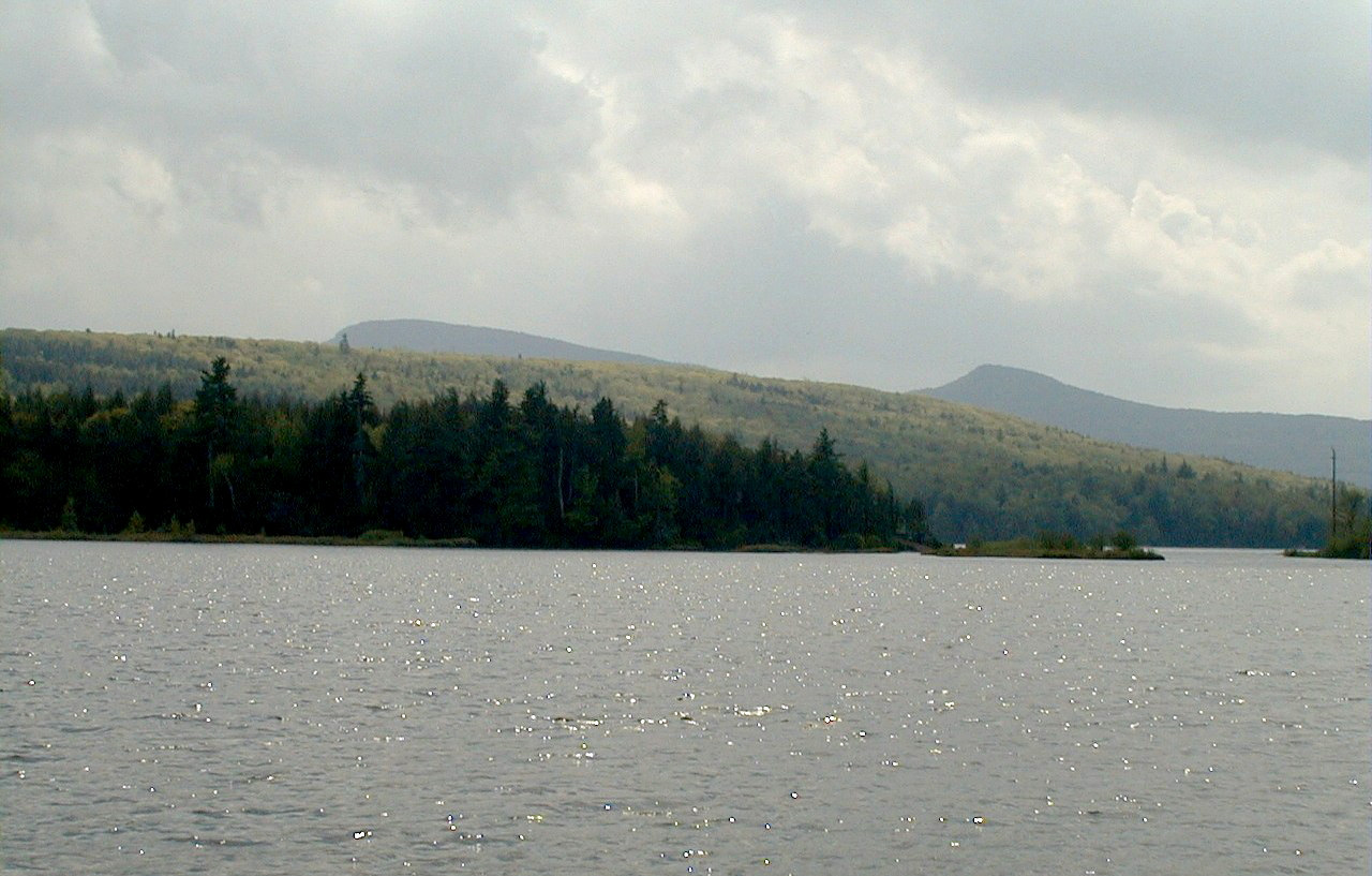
The View from Above
From altitude, the Catskills reveal their essential character: rounded summits densely cloaked in hardwood and spruce, cut by deep valleys where streams run clear to feed the city's reservoirs far below. The mountains lack the jagged drama of the Rockies or the stark granite of the Adirondack High Peaks, but their beauty is in their continuity - ridge after forested ridge rolling westward from the Hudson Valley escarpment. The Belleayre Mountain Ski Center, authorized by a 1948 amendment to Article 14, cuts a visible swath through the forest canopy. The reservoirs - Ashokan, Pepacton, Neversink, Rondout - glint like silver plates set among the ridges. Half a million visitors come each year to hike, fish, ski, and camp in a park that owes its existence not to grand conservation ideals but to a tax dodge that became a constitutional guarantee.
From the Air
Located at 42.08°N, 74.50°W in eastern New York. The park spans portions of Delaware, Greene, Sullivan, and Ulster counties. From altitude, the rounded Catskill summits and deep valleys are visible, with the Ashokan Reservoir prominent on the eastern side. Slide Mountain (4,180 ft) is the highest peak. Belleayre Mountain ski area is visible as cleared slopes. Nearby airports include Kingston-Ulster Airport (20N) to the east. The New York State Thruway (I-87) runs along the eastern edge of the park in the Hudson Valley.