Cayo Coco
The island is named for a bird. Cayo Coco takes its name from the white ibis, which locals call the coco bird for reasons that have nothing to do with coconuts and everything to do with the sound the bird makes. At 370 square kilometers, it is the fourth-largest island in Cuba, anchored off the north coast in a chain called Jardines del Rey - the King's Gardens. Buccaneers once hid here. Ernest Hemingway set novels here. Cuban exile militants once shot at a hotel here. And for most of its history, the island held nothing but fishermen, charcoal burners, and birds that outnumbered both.
Charcoal, Pirates, and Hemingway's Islands
Cayo Coco's human history splits neatly into before and after. Before the causeway, before the resorts, the island served whoever needed a place the authorities could not easily reach. Buccaneers used it as a hideout during the early colonial period, sheltering among mangroves and shallow channels that made pursuit difficult. Later, a small settlement grew up around fishing and charcoal production - the kind of subsistence economy that leaves almost no trace in the historical record.
The charcoal makers lasted until 1955, when two things ended their livelihood simultaneously: the freshwater supply ran out, and the Cuban Revolution brought electrification that killed the market for charcoal. The island emptied of permanent residents. But it had already gained a literary afterlife. Cayo Coco and neighboring Cayo Guillermo provided settings for Hemingway's Islands in the Stream and The Old Man and the Sea, novels saturated with the light and loneliness of Cuba's northern cays. Hemingway knew these waters from his fishing boat, the Pilar, and the landscape he described - scrubland, shallow flats, the Gulf Stream running blue beyond the reef - remains recognizable today.
The Causeway Across the Bay of Dogs
On July 26, 1988, a 27-kilometer causeway opened across Bahia de Perros - the Bay of Dogs - connecting Cayo Coco to the Cuban mainland for the first time. The project required sixteen months and three million cubic meters of stone, a massive undertaking for a country under economic embargo. The causeway transformed the island from an isolated cay accessible only by boat into a potential resort destination.
Environmentalists raised alarms almost immediately. The solid causeway disrupted tidal flow through the bay, altering water temperature and salinity in ways that threatened the ecosystem. Engineers eventually cut gaps in the structure to restore some circulation, but the damage was not fully reversible. Wild flamingos still wade in the shallows beside the causeway, visible from cars crossing to the resorts, though their numbers have diminished. The flamingos are both the island's signature wildlife and a living measure of what the causeway cost.
Machine Guns and Margaritas
The first resort on Cayo Coco, the Guitart Cayo Coco, opened in 1993. Within a year, it came under machine gun attack. The Cuban exile group Alpha 66, operating from the United States, launched armed raids against the resort in both 1994 and 1995. No one was injured, but the attacks made international headlines and underscored the bizarre collision of Cold War politics and Caribbean tourism that defined Cuba in the 1990s.
The resorts survived the gunfire and kept building. Today, Cayo Coco hosts roughly a dozen large international hotels offering approximately 5,000 rooms, with plans under the Jardines del Rey development project to expand eventually to 32,000. The island has its own international airport, Jardines del Rey Airport, which has received direct flights since 2005. An earlier airstrip was reclaimed as a small natural park called Parque Natural El Baga - one of the few cases where an airport has been returned to nature rather than the other way around.
Reef, Storm, and the Wild Interior
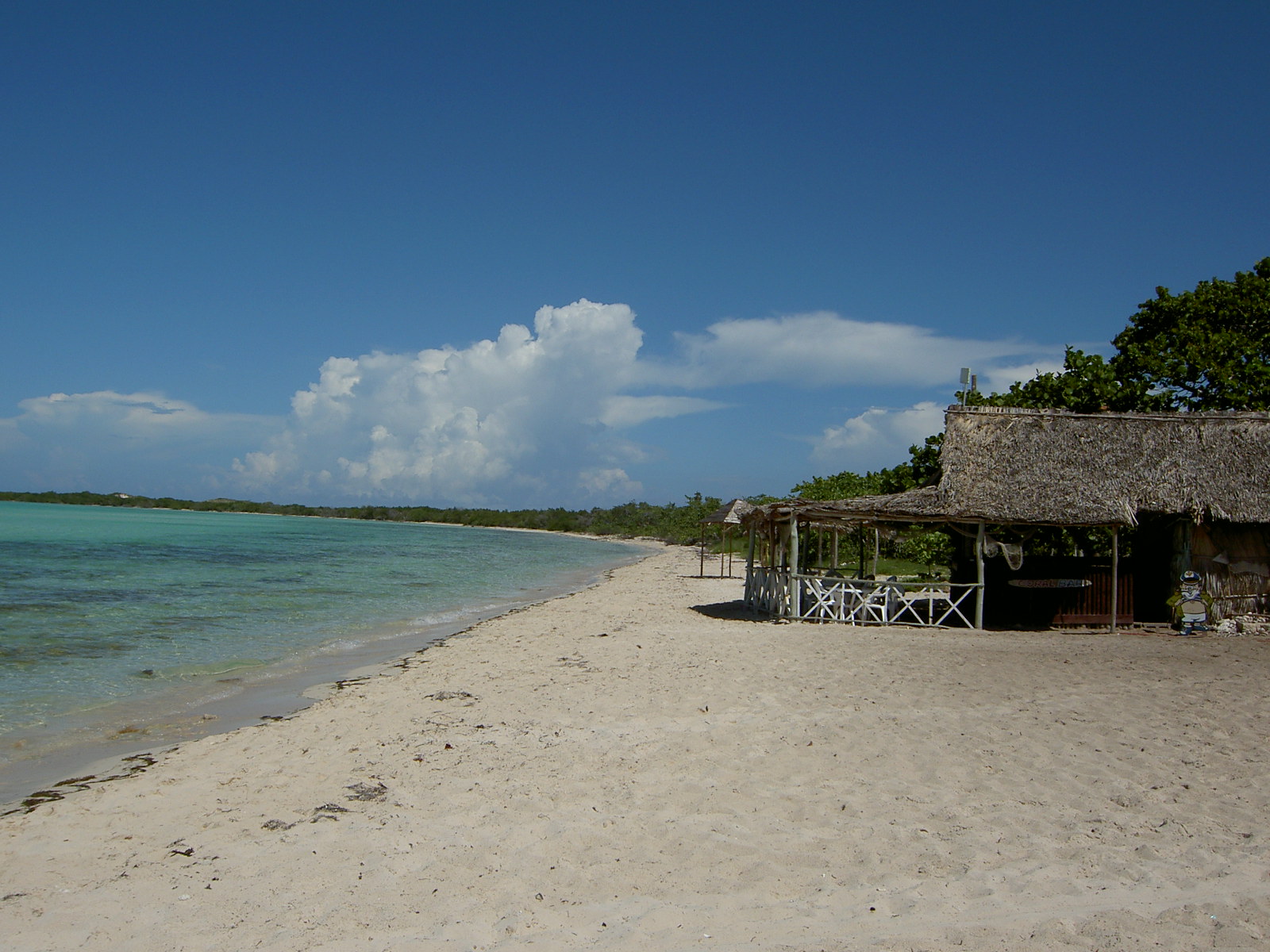
Beyond the hotel strips, Cayo Coco remains largely wild. Swamps and scrubland cover the interior, populated by feral cattle that descend from livestock abandoned decades ago. The enormous coral reef running along the north coast draws divers from around the world, its formations still rich despite the pressures of development on shore.
Hurricane Irma struck on September 9, 2017, devastating the hotel strip, damaging Jardines del Rey Airport, and battering the nearby mainland towns of Ciego de Avila and Moron. The resorts rebuilt. The reef endured. The flamingos returned to the bay. Cayo Coco has absorbed buccaneers, charcoal burners, Hemingway, exile gunmen, hurricanes, and mass tourism without losing its essential character: a low, flat island in warm water where the birds still outnumber the people, even on the busiest day of the season.
From the Air
Cayo Coco sits at approximately 22.51°N, 78.51°W off the north coast of central Cuba, part of the Jardines del Rey archipelago. Jardines del Rey Airport (IATA: CCC, ICAO: MUCC) serves the island with direct international flights. The 27-km causeway connecting the island to the mainland at Moron is clearly visible from altitude, running across the shallow Bahia de Perros. From the air, the island's hotel strip lines the north coast facing the Atlantic, while the interior remains largely undeveloped scrubland and mangrove. The coral reef parallels the north shore. Neighboring Cayo Guillermo is connected by a short causeway to the west, and Cayo Romano lies to the east. Maximo Gomez Airport (IATA: AVI, ICAO: MUCA) near Moron on the mainland serves as an alternate. Weather is tropical; hurricane season runs June through November.