Celaque National Park
There is a salamander that breathes through its skin. It has no lungs -- none at all -- and it lives only in one place: the cloud forests of Celaque National Park, in the western highlands of Honduras. Bolitoglossa celaque, as scientists named it, is endemic to these mountains, a creature so bound to this specific patch of earth that its entire existence depends on the moisture that drifts through the canopy at 2,870 meters. That a single species can embody the irreplaceability of a landscape tells you something about Celaque. Officially Parque Nacional Montana de Celaque, this is 260 square kilometers of steep jungle terrain sheltering Honduras's highest summit, nine rivers, and a biological diversity that earned UNESCO Biosphere Reserve status in 2015.
The Roof of Honduras
Cerro de las Minas rises to 2,870 meters at the park's heart -- the highest point in Honduras, though you would not know it from below. Unlike the bare, dramatic peaks of drier mountain ranges, Celaque's summit hides beneath dense cloud forest, perpetually wrapped in mist at elevations that receive 2,400 millimeters of rainfall in a typical year. The park was established in 1987, and in 2015 it became the centerpiece of the Cacique Lempira, Senor de las Montanas UNESCO Biosphere Reserve, a designation that extended protection to thousands of additional hectares of surrounding wilderness. Nine rivers flow through the park, several churning into white water as they descend the steep terrain. The waterfalls are a reward for those willing to hike: Cascada de Celaque sits near the park entrance, but deeper in the backcountry, San Juan, El Estado, and El Cielo waterfalls plunge through progressively wilder landscapes.
Wings and Whiskers in the Canopy
More than 300 bird species live in or migrate through Celaque, making it one of Central America's premier birdwatching destinations. Red-lored Parrots flash green and scarlet through the lower canopy. White-collared Manakins perform their elaborate courtship dances on forest perches. Somewhere in the upper reaches, if fortune and patience align, a Resplendent Quetzal might cross your path -- the bird the Maya considered divine. On the ground and in the understory, the mammal list reads like a field guide to the Neotropics: pumas, ocelots, and howler monkeys inhabit the park, along with the endangered lungless salamander that has become Celaque's unofficial emblem. The presence of large predators like pumas confirms what the sheer size and wildness of the park suggests -- this is one of the last places in Honduras where a continuous corridor of undisturbed habitat still supports a full food chain.
Underground Celaque
Beneath the jungle floor, another world opens. Several caves punctuate the park's limestone geology, each with its own character. Cueva de los Murcielagos harbors a large bat colony; visitors who sit near the entrance at dusk can watch thousands of bats spiral out in their nightly exodus to feed on flying insects. Cueva de los Indios holds petroglyphs carved by people who lived here long before the park had a name -- evidence of human habitation stretching back centuries. Cueva del Tigres conceals an underground river, its sound echoing through passages that few visitors have fully explored. The caves are deep enough to be genuinely dangerous without a knowledgeable local guide, and that inaccessibility has helped preserve them. Honduras sits in a geologically active zone, and while no active volcano exists within the park, hot mineral springs bubble to the surface at several points -- El Estado, San Juan, and El Cielo -- offering hikers a natural thermal soak after a long day on the trails.
Getting There Is Part of the Story
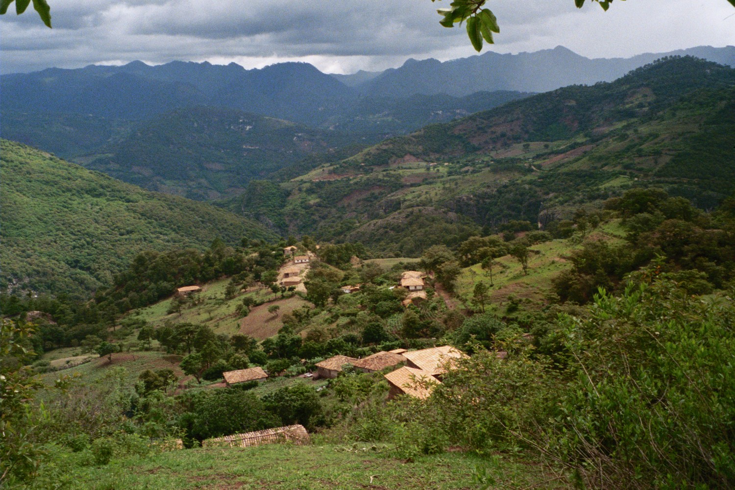
Celaque is not easy to reach, which is part of its appeal and part of its protection. The nearest town is Gracias, about nine kilometers from the park entrance -- a place that can be reached by tuk-tuk for about 100 Lempira. From the capital, Tegucigalpa, the journey requires a three-and-a-half-hour bus ride to Santa Rosa de Copan, then a combi or taxi to the park itself. Once inside, the only way to move is on foot. The park maintains marked trails ranging from easy loops near the entrance to demanding multi-day routes through challenging terrain that leads toward the summit. Three designated camping areas provide water, shelters, and basic toilets. There are no stores, no restaurants, no cell signal in the deep interior. Visitors bring everything they need and pack everything out -- a leave-no-trace ethic that the park enforces and that the landscape demands.
Wildness Worth Protecting
Celaque's remoteness is both its vulnerability and its strength. The park is large enough to sustain species that need continuous, undisturbed forest, but its edges face pressure from agriculture and logging. The UNESCO biosphere designation provides an international framework for conservation, and the park entry fee -- 120 Lempira for foreign visitors, 40 for Hondurans -- helps fund trail maintenance and ranger patrols. For the adventurous traveler willing to tolerate wet weather, unpredictable wildlife, and the physical demands of high-altitude jungle trekking, Celaque offers something increasingly rare: genuine wilderness. The monkeys will steal your food. The rain will find every gap in your poncho. The trails will test your boots and your endurance. And somewhere in the mist, on a mossy branch at the roof of Honduras, a small creature with no lungs will go on breathing through its skin, utterly indifferent to your presence, utterly dependent on the forest that surrounds it.
From the Air
Located at 14.54N, 88.71W in the western highlands of Honduras. Cerro de las Minas (2,870m / 9,416 ft) is the highest point in Honduras and visible as a densely forested massif. Nearest airports include Ramon Villeda Morales International Airport (MHLM) in San Pedro Sula, approximately 170 km northeast, and the small airstrip near Gracias. Cloud cover is frequent at summit elevations. Fly at 10,000-12,000 feet MSL for safe clearance over the peaks. The park's nine rivers and waterfalls may be visible in clear conditions. The town of Gracias is visible 9 km from the park entrance.