Central District, Seattle
In 1882, a Black businessman named William Grose bought 12 acres of land in Seattle from Henry Yesler. Grose was already well established in the city -- he ran a hotel downtown -- and he used the land in what was then called Madison Valley to grow produce, raise animals, and, crucially, sell parcels to other Black families. That act of purchase and subdivision planted the seed of what would become the Central District, the neighborhood that served for more than a century as the cultural and geographic heart of Black Seattle. Locals call it the CD, and its story is inseparable from the story of race in the Pacific Northwest.
Drawn Lines and Closed Doors
By the early 20th century, the Central District was home to African-American, Jewish, and Asian families -- a diversity rooted in Grose's original land sales. Jewish residents built Temple De Hirsch on Union Street in 1907. But in 1927, white homeowners began a deliberate effort to redline the area. Unlike redlining campaigns in other American cities, this one did not create a segregated neighborhood from scratch. The CD was already diverse. Instead, the restrictions boxed residents in, preventing them from buying or renting property elsewhere in Seattle. The effect was to concentrate communities of color into a handful of blocks while the rest of the city remained largely closed to them. By 1970, Black residents made up nearly 80 percent of the neighborhood's population.
The Pulse of a Movement
The concentration of Black life in the Central District made it the natural center of Seattle's civil rights movement. By the 1970s, the CD was home to institutions that anchored the community: the Seattle chapter of the Black Panther Party established its second headquarters here, and The People's Wall became a local landmark. The Liberty Bank Building, the historic site of the first Black-owned bank in Seattle, stood as a symbol of economic self-determination. But the decades that followed brought rising poverty and crime, and the neighborhood's fortunes declined even as its cultural significance grew. The tension between the CD's identity as a historic Black neighborhood and the economic pressures reshaping it has never fully resolved.
The Gentrification Question
In the early 21st century, the Central District began changing again -- rapidly and visibly. As home prices climbed on Capitol Hill, in Madrona, Leschi, and Mt. Baker, buyers who might have settled in those neighborhoods turned to the CD instead. Condemned houses were torn down and replaced with multi-unit townhouses and condominiums. Easy access to Interstate 5, Interstate 90, and downtown made the neighborhood attractive to commuters. Lower-income residents, many of them from families who had lived in the CD for generations, moved southward toward the Rainier Valley. The physical landscape shifted: renovated craftsmen stood next to homes on the verge of condemnation. The demographic makeup shifted too, as the neighborhood became less Black and more affluent with each passing year.
Memory in the Streets
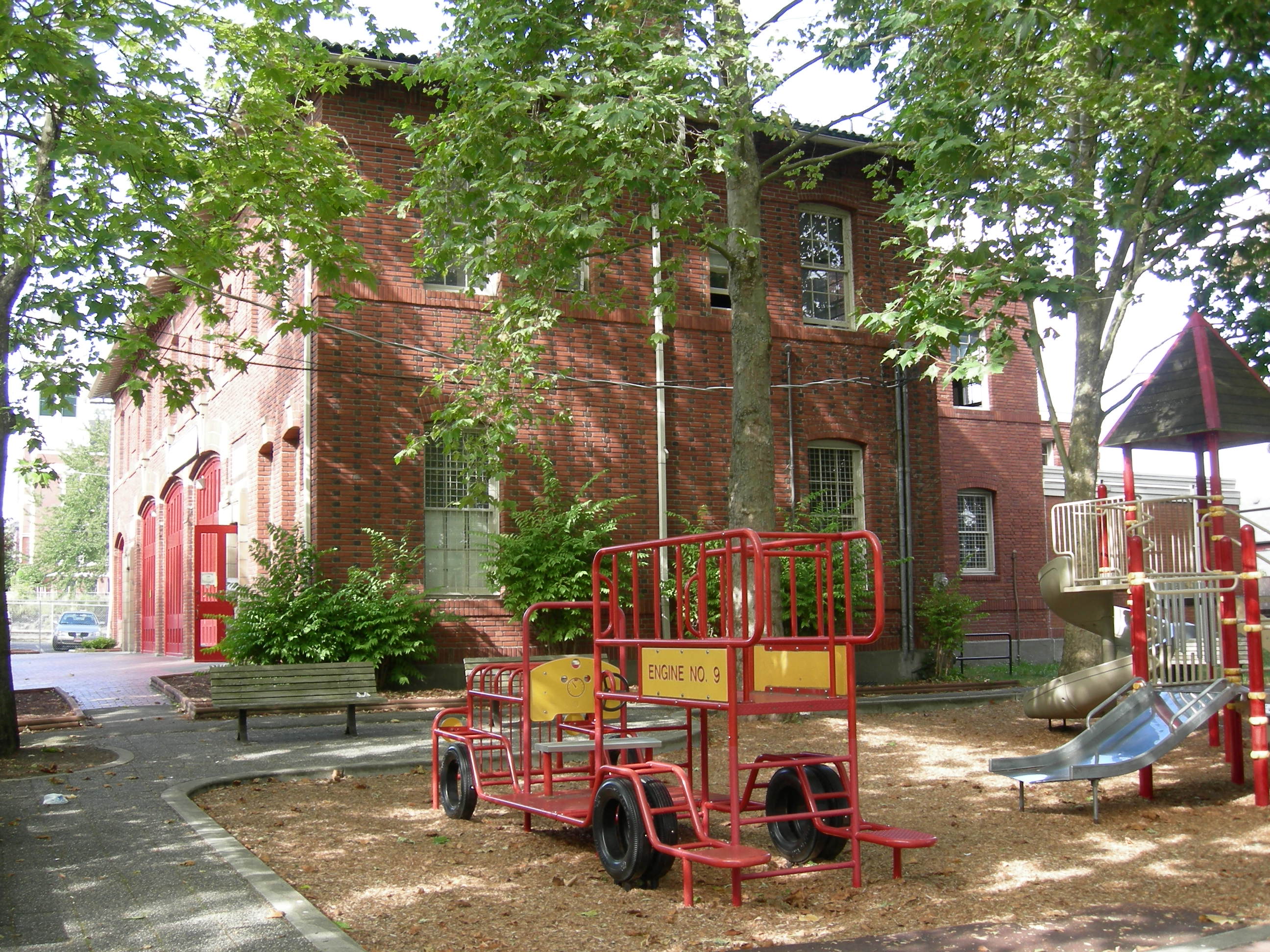
Despite the transformation, the Central District holds its history close. The Northwest African American Museum preserves the story of Black life in the Pacific Northwest. Medgar Evers Pool and Jimi Hendrix Park carry the names of figures who shaped the nation's culture. In 2022, Africatown Community Land Trust opened the William Grose Center for Cultural Innovation and Enterprise in a building the city of Seattle had leased to the trust for 99 years. The center is named for the man who started it all -- the businessman who bought 12 acres and invited other Black families to build alongside him. The CD's main street, 23rd Avenue, still runs north and south through the neighborhood, crossed by Cherry, Jefferson, and Yesler -- streets whose names echo the city's earliest days. At least 18 public parks and four community P-Patch gardens dot the district, green spaces woven into a neighborhood that keeps reinventing itself without entirely letting go of what it was.
From the Air
The Central District is located at approximately 47.609°N, 122.296°W, east of downtown Seattle. From the air, the neighborhood is bounded by 12th Avenue and Rainier Avenue to the west, Martin Luther King Jr. Way to the east, Capitol Hill to the north, and Rainier Valley to the south. Look for the grid of residential streets between the I-5 and I-90 corridors. The Judkins Park light rail station marks the southern edge. Nearest general aviation airport is Boeing Field/King County International (KBFI), approximately 4 nautical miles south. Seattle-Tacoma International Airport (KSEA) is about 11 nautical miles south. Recommended viewing altitude: 3,000-4,000 feet AGL for full neighborhood perspective.