Centralia: The Town That's Been Burning Since 1962
The fire started in a trash dump and never stopped. In 1962, Centralia, Pennsylvania, burned garbage in an abandoned strip mine - standard practice for the era. The fire ignited an exposed coal seam and dropped into the labyrinth of mines beneath the town. Sixty years later, it's still burning. The fire has consumed 400 acres of coal, stretches eight miles, and reaches temperatures of 900°F. The town that once held 1,400 residents now holds fewer than 10. Roads buckle and crack. Smoke rises from the ground. The fire will burn for another 250 years at minimum, consuming an estimated 95% of the coal beneath the town. Centralia is America's longest-running disaster, slow-motion apocalypse played out over decades.
The Ignition
Centralia had burned trash in the abandoned strip mine for years without incident. In May 1962, the fire was lit as usual - but this time, it found an exposed coal seam connected to the abandoned mine tunnels beneath the town. The fire dropped underground, spreading through the veins of anthracite that had built Centralia's economy. Early attempts at control failed: firefighters dug trenches that the fire bypassed, flushed the mines with water that evaporated, and eventually gave up. By the 1980s, the fire had spread beneath residential streets. The town was dying, killed by the industry that had created it.
The Collapse
The danger became personal in 1981 when 12-year-old Todd Domboski fell into a sinkhole that opened in his grandmother's backyard. He clung to tree roots as steam and smoke rose from the 150-foot-deep pit beneath him; his cousin pulled him out. The incident made national news and forced action. In 1984, Congress allocated $42 million to relocate Centralia's residents. Most accepted buyouts and left. A handful refused, insisting on their right to stay. The state seized properties through eminent domain, demolished buildings, and removed addresses from official maps. Centralia ceased to exist except for those who wouldn't leave.
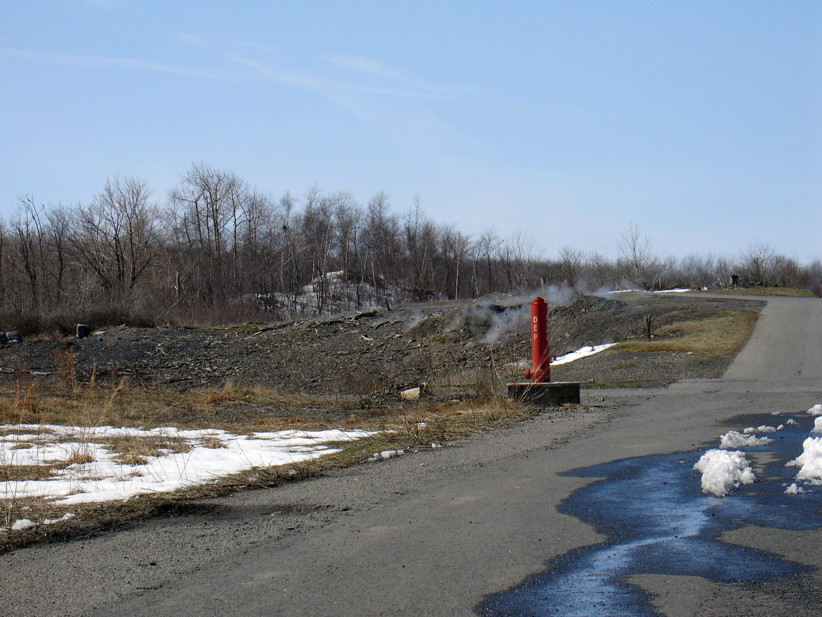
The Remains
What remains of Centralia is a grid of streets leading to empty lots, where houses once stood before demolition. Route 61, the main highway through town, was abandoned in the 1990s when heat buckled the asphalt; a bypass now routes traffic around the danger zone. Graffiti covers the old highway's cracked pavement - visitors come to see the steam rising from the road, the apocalyptic landscape of a town consumed from below. The municipal cemetery remains, its dead heated by the fire below. A few homes shelter the handful of residents who won the right to stay. They'll likely outlive their town, but not the fire beneath it.
The Future
The fire cannot be extinguished. Attempts were made in the 1960s and rejected as too expensive; by now, the fire has spread beyond any practical intervention. Estimates suggest 250 years of fuel remain - the anthracite seams extend for miles, and the fire follows them. Centralia will eventually disappear entirely, its surface collapsed into the void where coal once supported the town. The last residents will die; the fire will continue. Some scientists see the site as useful - a natural laboratory for studying slow coal combustion. Others see warning: America has thousands of underground coal fires, most unmonitored, several threatening communities. Centralia is just the most visible example of a widespread problem.
Visiting Centralia
Centralia is located in Columbia County, Pennsylvania, roughly 60 miles northeast of Harrisburg via Route 61. There's nothing official to visit - no services, no attractions, no population to speak of. The abandoned section of Route 61 (Graffiti Highway) was covered with dirt in 2020 to discourage trespassing, though the area remains accessible by foot. The few remaining structures are private property. Steam vents and warm ground are detectable in cooler weather. The dangers are real: sinkholes open without warning, and toxic gases accumulate in low areas. The nearby towns of Ashland and Mount Carmel provide context on the region's mining history. Centralia is best understood from a distance - the town that burned is already mostly gone.
From the Air
Located at 40.80°N, 76.34°W in the anthracite region of east-central Pennsylvania. From altitude, Centralia appears as a nearly empty grid - streets laid out for a town that barely exists anymore. The surrounding forest has reclaimed most of the former lots. Steam vents may be visible in cooler weather, rising from the ground heated by the fire below. The abandoned section of Route 61 runs through the area, bypassed by the current highway. The landscape looks peaceful from altitude - green hills, scattered development, nothing suggesting the inferno burning beneath the surface. The fire that has burned since 1962 is invisible from any altitude, consuming the town from below.