The River That Moved a Border
Rivers make terrible borders. They flood, they meander, they cut new channels and abandon old ones. The Rio Grande did all of these things between El Paso, Texas, and Ciudad Juarez, Chihuahua -- and in doing so, created the Chamizal dispute, a century-long argument over 600 acres of land that passed from Mexican to American hands not through conquest, but through the slow, inexorable shifting of a river. The Chamizal National Memorial commemorates the remarkable 1963 resolution that returned the land to Mexico through peaceful negotiation, making it one of the few places in America that celebrates giving territory away.
When Rivers Wander
The trouble began in 1848, when the Treaty of Guadalupe Hidalgo established the Rio Grande as the boundary between the United States and Mexico. The treaty was silent on what would happen if the river moved. Throughout the 1850s and 1860s, the Rio Grande did exactly that, shifting southward through a combination of flooding and gradual erosion. By the time anyone thought to draw new maps, a substantial tract of land called El Chamizal -- named for the chamizo bushes that grew there -- had migrated from the Mexican side of the river to the American side. Mexico protested. The United States demurred. And the Chamizal became an open wound in U.S.-Mexican relations.
A Century of Diplomacy
The dispute festered for over a hundred years. An 1895 international tribunal ruled that part of the land should go back to Mexico, but the United States rejected the decision. The issue poisoned diplomatic relations through two world wars and countless changes of government on both sides. Presidents and diplomats made speeches about the 'special relationship' between the two nations while this sliver of disputed land stood as evidence that America would not honor its commitments. The breakthrough came in 1962, when Presidents John F. Kennedy and Adolfo Lopez Mateos agreed to resolve the matter once and for all. The International Boundary and Water Commission, established in 1889 to manage exactly these sorts of problems, was tasked with finding a solution.
The Chamizal Convention
The solution was elegant in its simplicity: move the river. The Chamizal Convention of 1963 divided the disputed land, returning 437 acres to Mexico while leaving 193 acres with the United States. More importantly, it rechanneled the Rio Grande through a concrete-lined channel that would never wander again. The new border was fixed, permanent, and beyond the reach of floods or erosion. The United States relocated nearly 5,000 residents from the transferred area and demolished their homes. Mexico did the same with 2,000 residents on its side. Both nations then created parks on their portions of the former disputed land -- the Chamizal National Memorial in El Paso and the Parque Publico Federal El Chamizal in Juarez.
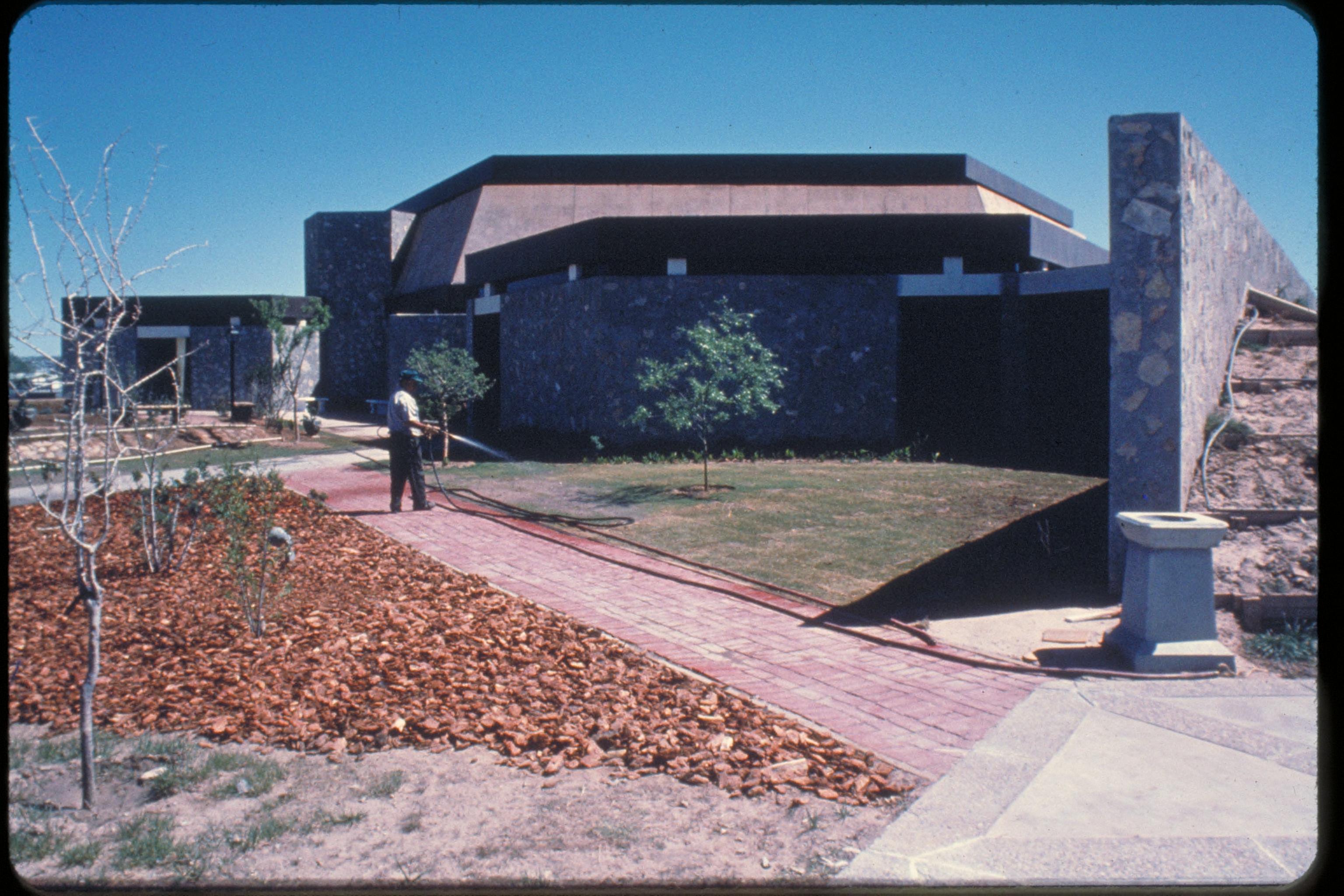
A Memorial to Peace
The Chamizal National Memorial was authorized in 1966 and officially established as a National Park Service site in 1974. But it is no ordinary park. Its 55 acres serve primarily as a cultural center, with art galleries, a theater, an amphitheater, and a museum detailing the long history of the U.S.-Mexico border. The park honors not a victory but a compromise -- a rare monument to the idea that territorial disputes need not end in bloodshed. Each year, thousands of visitors from both nations cross the bridges to attend performances, view exhibitions, and walk the grounds where a wandering river once created an international crisis. The concrete channel of the Rio Grande flows nearby, its waters finally confined to a path that will not change for generations.
Lessons from a Shifting River
The Chamizal dispute lasted 113 years, from the first complaints in 1852 to the final land transfers in 1967. It survived the Mexican Revolution, two world wars, and the complete transformation of both nations. Its resolution required no troops, no treaties of surrender, no reparations. It required only the recognition that a mistake had been made and the willingness to correct it. Today the memorial stands as a testament to what patient diplomacy can achieve. The land that was once El Chamizal is now split between two parks that face each other across an engineered river, each celebrating the same improbable outcome: a border dispute settled by negotiation, and 600 acres of North American desert that belong to whichever nation the map says they should.
From the Air
The Chamizal National Memorial is located at approximately 31.77N, 106.45W, directly on the U.S.-Mexico border in El Paso, Texas. From the air, it appears as a distinct green space along the concrete-lined channel of the Rio Grande that separates El Paso from Ciudad Juarez. The memorial's 55 acres include visible facilities such as the visitor center and amphitheater. Directly across the river, the corresponding Mexican park, Parque Publico Federal El Chamizal, forms a mirror image. The two parks together illustrate the 1963 settlement that divided the formerly disputed land. The Paso del Norte International Bridge crosses the river just to the west. El Paso International Airport (KELP) is approximately 6 miles to the east.