Chao Phraya River
European mapmakers who visited Siam during the Ayutthaya period called it simply the Menam, which is the Thai word for "river." They were not being lazy. For centuries, the people who lived along its banks saw no need for a more specific name. It was the river, the only one that mattered. Today, the Chao Phraya carries the title of Thailand's major waterway, but that formality understates the relationship. Every Thai kingdom that has controlled the central plains has organized itself around this river's path, from the Dvaravati settlements of the 7th century to the Bangkok metropolis of the 21st.
A River Named for Idols
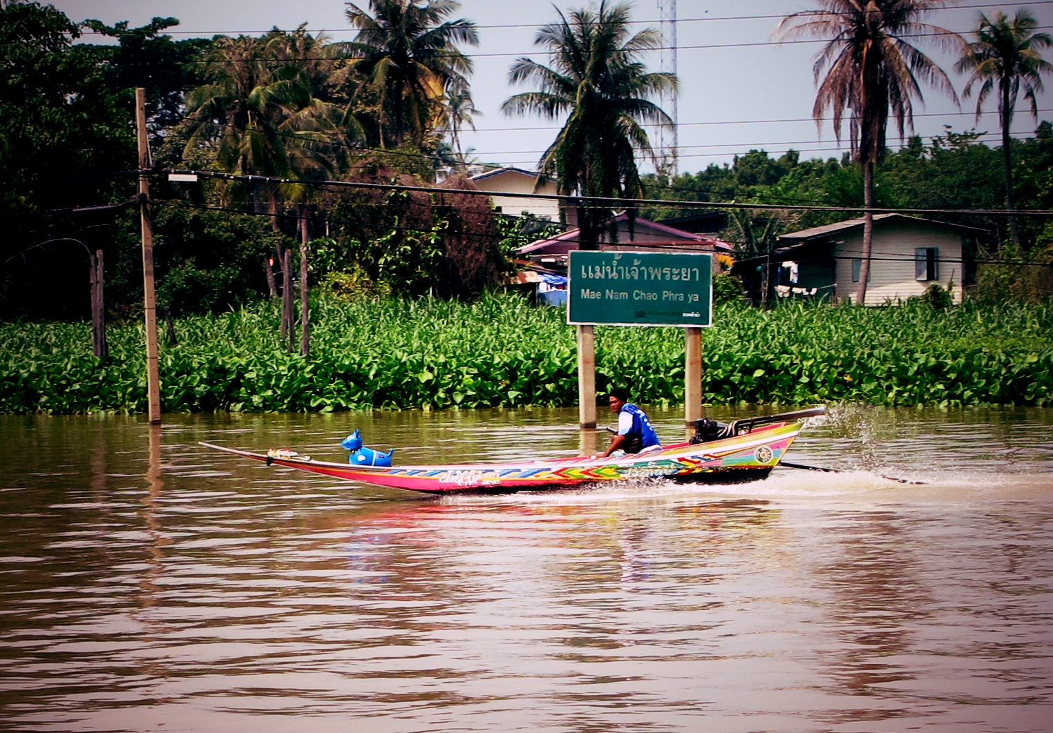
The name Chao Phraya traces back to a story of discovery. In 1498, two Khmer idols were unearthed at a settlement near the river's mouth, and the site became known as Bang Chao Phraya, the "village of the lord." As the delta extended seaward over the following centuries, new settlements replaced old ones, but the name migrated upstream. By the reign of King Borommakot in the mid-18th century, records refer to the entire river mouth as Pak Nam Bang Chao Phraya. A title of nobility, originally attached to a pair of stone figures, had become the name of a nation's central artery. The river itself begins at the confluence of the Ping and Nan rivers at Nakhon Sawan, then flows south for 372 kilometers through the central plains to Bangkok and the Gulf of Thailand.
Cradle of Kingdoms
The earliest civilizations in mainland Southeast Asia emerged along the Chao Phraya's basins. The Mon kingdom and the Dvaravati civilization thrived here from the 7th to 11th centuries, establishing the cultural foundations that later Thai kingdoms would inherit. The Lavo kingdom occupied the river's left bank in the upper valley before being absorbed into the Ayutthaya Kingdom in the 14th century. When the Burmese sacked Ayutthaya in 1767, the survivors moved downriver and founded Rattanakosin, modern Bangkok, on the east bank in 1782. The choice was strategic: the river served as a natural moat against the Burmese invasions that had always come from the west. Bangkok's location was not an accident of geography but a calculated defensive decision.
Shortcuts Through the Kingdom
Ayutthaya's kings were river engineers. In 1538, King Chairachathirat ordered the digging of Khlong Lat, a 3-kilometer canal that bypassed a massive loop in the lower Chao Phraya and shortened the route from the Gulf of Siam to the capital by 13 to 14 kilometers. Four years later, the Khlong Lat Bangkok canal cut another 14 kilometers off the journey. Over time, the river itself shifted course to follow these man-made shortcuts, its old paths becoming the khlongs, the network of canals that once earned Bangkok the nickname "Venice of the East." Today, the Chao Phraya Dam in Chai Nat province controls the river's flow, and hundreds of smaller irrigation canals feed the rice paddies that blanket the central plains.
A Watershed Under Pressure
The Chao Phraya watershed is the largest in Thailand, draining approximately 157,924 square kilometers, roughly 35 percent of the nation's land area. Its tributaries, the Pa Sak, the Sakae Krang, the Nan with the Yom, and the Ping with the Wang, form a branching network that reaches into nearly every province of central and northern Thailand. But the original swamp forests that once lined these waterways have almost entirely vanished, replaced by rice paddies, prawn farms, and urban sprawl. Tigers, Asian elephants, Javan rhinoceroses, and the now-extinct Schomburgk's deer once inhabited these plains. Three of the world's largest freshwater fish, the giant barb, the giant pangasius, and the giant freshwater stingray, are native to the river but all are critically endangered or endangered.
The River of Bridges and Boats
In modern Bangkok, the Chao Phraya is infrastructure. Major bridges span it in a procession of engineering ambition: the Rama VI railroad bridge, Phra Pin-klao near the Grand Palace, the asymmetrical cable-stayed Rama VIII, the semi-symmetric Rama IX, and the Industrial Ring Road's Mega Bridge. Below the bridges, more than 15 boat lines operate on the rivers and canals, including the Chao Phraya Express that serves as a floating commuter line for a city perpetually locked in traffic. Cross-river ferries and longtail water taxis weave between the larger vessels. From the water, Wat Arun's silhouette catches the light on the western bank, a reminder that this river has always been more than a transportation route. It is the axis around which Thai civilization organized itself.
From the Air
The Chao Phraya River flows roughly north-south through central Thailand. Its confluence origin point is at Nakhon Sawan (approximately 15.70°N, 100.14°E) and it empties into the Gulf of Thailand near Bangkok. The river is a prominent visual navigation reference visible from any altitude. Nearby airports along its path include Don Mueang International Airport (VTBD) and Suvarnabhumi Airport (VTBS) near its mouth in Bangkok, and Nakhon Sawan Airport upriver. Best followed at 5,000-8,000 ft AGL to see the full ribbon of the river, its canal network, and the agricultural plains on both sides.