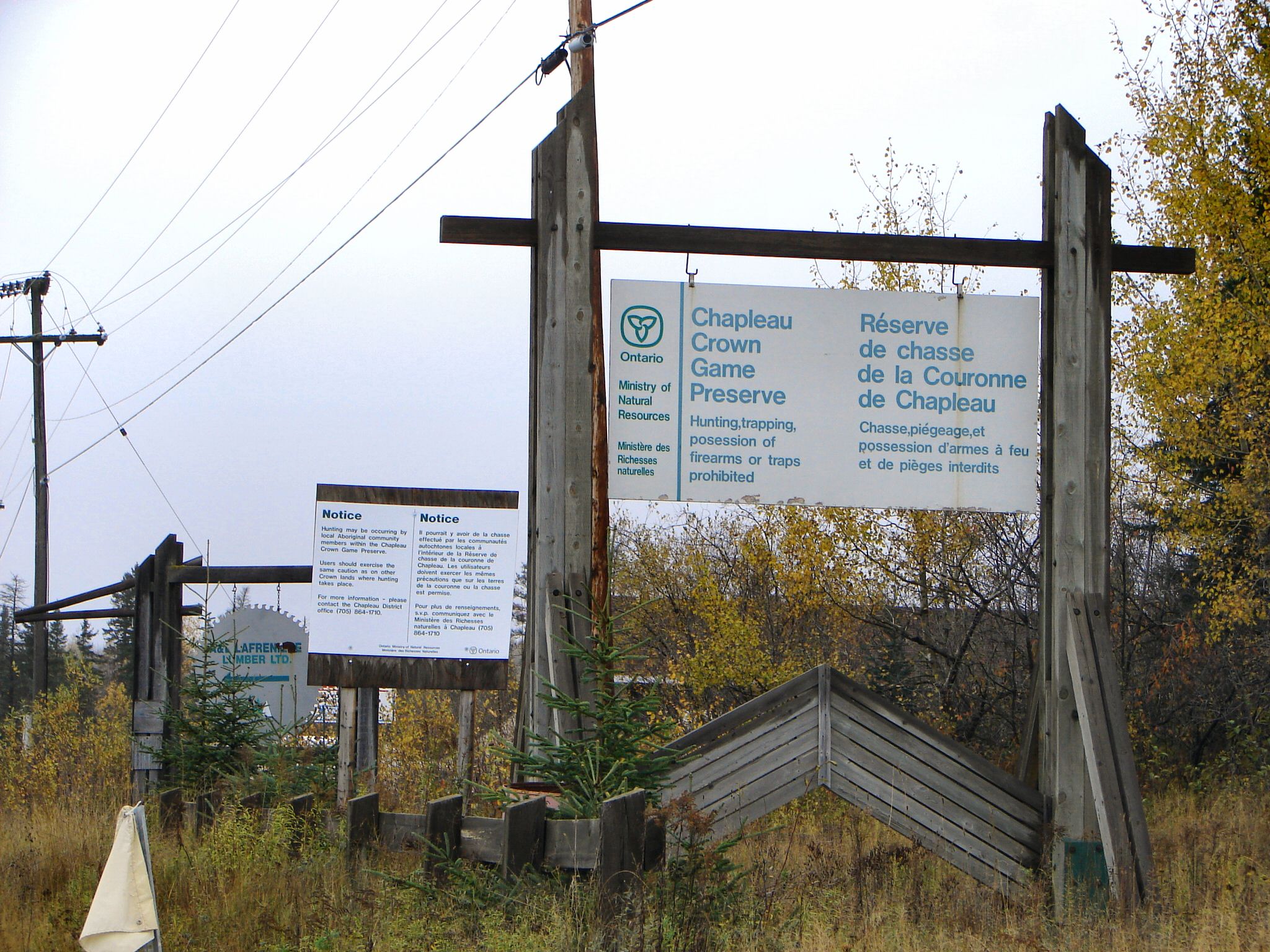
Chapleau Crown Game Preserve: Where Railroads Drew the Borders of a Wilderness
On a map, the Chapleau Crown Game Preserve looks like a territory drawn by a railroad engineer, because it was. The Canadian National Railway forms the northern boundary. The Canadian Pacific Railway traces the southern edge. The Algoma Central Railway runs along the west. The Chapleau River closes the box on the east. Inside these lines lie 7,000 square kilometers of boreal forest, muskeg, and lake country northeast of Lake Superior, making it the largest crown game preserve in the world. Since May 27, 1925, not a single legal shot has been fired within its borders. The preserve exists because one man from the town of Chapleau recognized that the very railways opening up Northern Ontario were also making it possible to hunt the wilderness empty.
Pictographs and Paddle Routes
Long before the railways arrived, this was Ojibwa and Cree homeland. The people hunted moose, trapped beaver, fished the rivers, and painted pictographs on the rock faces at Fairy Point on Missinaibi Lake, images that still testify to a deep and sustained relationship with the landscape. The first Europeans to penetrate the area were coureurs des bois, French freelance fur traders pushing into new territory in the 17th century. By the late 1700s, both the Hudson's Bay Company and the North West Company had established posts in the region, including Brunswick House on Missinaibi Lake. Decades of trade war between the two companies ended with their amalgamation in 1821, after which the HBC dominated commerce until the Canadian Pacific Railway punched through in 1885, bringing settlers, prospectors, and loggers in its wake. The Cree and Ojibwa negotiated the Robinson Superior Treaty and Treaty 9, which guaranteed their rights to hunt, fish, and trap on the land.
McLeod's Alarm
By the early 20th century, the twin rail corridors of the Canadian Pacific and Canadian National crisscrossed the region, and a third line, the Algoma Central, ran along the western edge. The railways gave hunters, trappers, and logging operations easy access to territory that had been remote for millennia. The results were predictable and devastating: game populations crashed, fur-bearing animals were trapped to near-local extinction, and the boreal ecosystem that had sustained Indigenous communities for centuries was unraveling. William McLeod, a resident of Chapleau born in 1872, saw what was happening and wrote a paper in 1923 laying out fifteen recommendations to save the fur trade in Northeastern Ontario. The Ontario government acted on his most ambitious proposal. On May 27, 1925, an Order-in-Council established the Chapleau Crown Game Preserve, banning all hunting and trapping within the railway-bounded territory. Nearly all of McLeod's other fourteen recommendations were eventually enacted into law as well.
The Cost of Conservation
The preserve's creation came with a bitter consequence for the people who had lived there longest. Despite the treaty rights guaranteed to the Cree and Ojibwa, the hunting ban applied universally, stripping the First Nations of their subsistence lifestyle within the preserve's boundaries. The Brunswick House Band was relocated to a new reserve near Elsas on the Canadian National Railway main line. In 1948, they were moved again to Tophet on the Canadian Pacific main line east of Chapleau. A third relocation in 1973 placed them at Duck Lake on Highway 101, three miles from Chapleau, where the community lives today. Three relocations in less than fifty years, each one farther from the hunting grounds their treaties had promised to protect. The tension between conservation goals and Indigenous rights has remained an ongoing source of conflict, a reminder that even well-intentioned preservation can carry a heavy human cost.
A Century of Rewilding
A hundred years of protection have produced results visible from the air. The preserve today harbors approximately 119 species of birds and 49 species of mammals. Moose browse the shorelines of hundreds of lakes. Black bear forage through blueberry patches. Timber wolves and Canada lynx hunt the deep forest. Beaver have rebuilt their dam networks across every suitable watercourse. Bald eagles circle above the canopy, and loons call across the lakes at dusk. The preserve encompasses Pichogen River Provincial Park and part of Missinaibi Provincial Park, with Chapleau-Nemegosenda River Provincial Park on its eastern edge. Canoe routes thread through the interior, including one from Wabatongushi Lake down the Michipicoten River to Lake Superior, and another from Oba Lake through the Albany River system to Hudson Bay. A century after William McLeod raised the alarm, the forest inside the railroad lines has become what the land looked like before the trains arrived.
From the Air
The Chapleau Crown Game Preserve sits at roughly 48.42N, 83.75W, a vast 7,000 square kilometer block of boreal forest northeast of Lake Superior. From altitude, the preserve is bounded by visible railway corridors on three sides, with the darker line of the Chapleau River on the east. The interior is a mosaic of lakes, muskeg, and unbroken forest. The nearest airport is Chapleau Airport (CYLD), located at the southeastern corner of the preserve near the town of Chapleau. Wawa Airport (CYXZ) lies approximately 108 km to the southwest. The sheer scale of uninterrupted forest canopy distinguishes the preserve from the logged areas visible outside the railway boundaries.