Charleston: The Mountain State's Capital in the Kanawha Valley
Charleston sits where the Elk River joins the Kanawha, squeezed between forested hillsides in a valley so steep that development climbs the slopes rather than spreading outward. The setting suits West Virginia's capital - the Mountain State's largest city in appropriately mountainous terrain. The gold-domed State Capitol, completed in 1932, rises from the valley floor; from almost any direction, you approach Charleston through mountain cuts with sudden views of the downtown skyline. An hour east, the New River Gorge became America's newest National Park in 2020; Charleston serves as the gateway for visitors heading to the gorge's whitewater and climbing. The city retains its working-class character - not a tourist town but a real state capital, the commerce center for West Virginia's coalfield region and its mountain communities.
The Gold Dome
The West Virginia State Capitol, completed in 1932 during the Great Depression, features a dome covered in 23.5-karat gold leaf - visible from the hillsides surrounding the valley. At 292 feet, the dome is actually taller than the U.S. Capitol's. Cass Gilbert designed the building in a restrained classical style, the same architect who designed the Woolworth Building and the Supreme Court. Inside, the rotunda features a two-ton chandelier of Czechoslovakian crystal; the governor's reception room contains hand-painted murals depicting West Virginia history. The Capitol Complex includes the cultural center, state museum, and governor's mansion spread across the East End neighborhood along the Kanawha River.
Gateway to the Gorge
New River Gorge National Park lies an hour east of Charleston on US-60, the New River cutting through ancient mountains in one of the East Coast's deepest canyons. The New River Gorge Bridge - at 876 feet, the third-highest bridge in America - spans the gorge on a steel arch visible for miles. Whitewater rafting on the New and Gauley rivers draws thousands each summer; rock climbing on the gorge's sandstone walls attracts climbers from worldwide. Charleston provides the last urban services before the wilderness: gear shops, hotels, restaurants. Bridge Day, held annually in October, is the only day pedestrians can walk the bridge and BASE jumpers legally leap from its deck.
Coal Country Capital
West Virginia was born from coal - the counties that seceded from Virginia during the Civil War did so partly because they lacked the plantation economy that depended on slavery, but also because they saw their future in mineral extraction. Charleston sits at the northern end of the southern coalfields, the commercial hub for mining communities stretching into the mountains. The coal industry's decline has hit the region hard; population has fallen for decades. But the coal heritage remains: the state museum documents mining history; monuments honor miners killed in disasters like the Monongah explosion of 1907 (the worst mining disaster in American history, killing 362). Charleston is where coal country comes to do business.
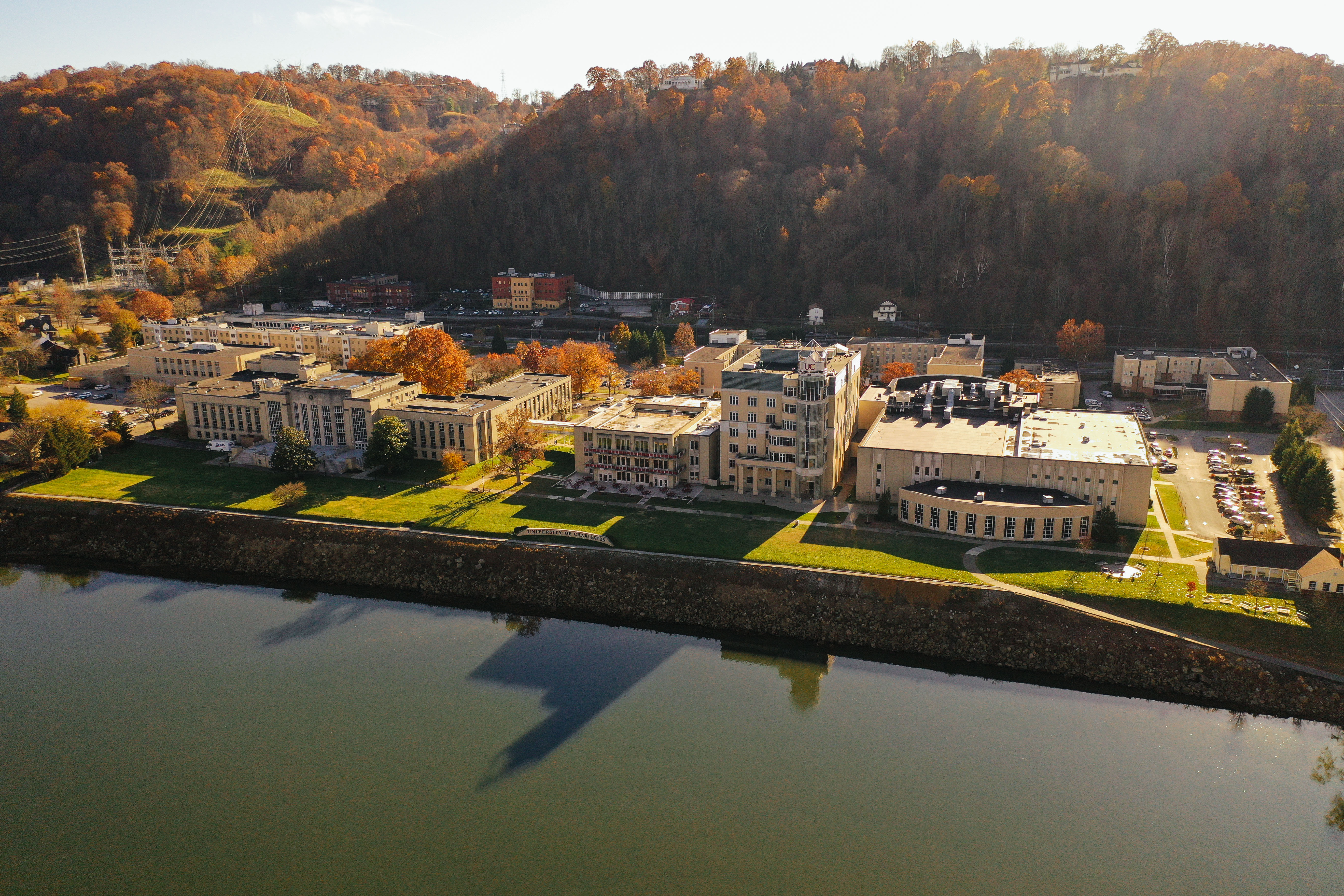
Riverside Living
The Kanawha River Boulevard follows the river through Charleston's East End, a scenic route past historic homes and the Capitol Complex. Magic Island, at the confluence of the Elk and Kanawha rivers, provides green space in the heart of the city. The Capitol Market, housed in a renovated freight depot, offers local produce and specialty foods. Charleston's neighborhoods climb the hillsides: South Hills ascends steeply from downtown, its winding streets offering views across the valley; Kanawha City spreads along the river's south bank; the West Side crosses the Elk River into older working-class neighborhoods. The terrain makes everything vertical - streets climb, houses perch, views open unexpectedly.
Mountain Crossroads
Yeager Airport (CRW) serves Charleston with regional connections. Three interstates converge here: I-77 runs north-south, I-64 runs east-west, and I-79 begins its run northeast to Pittsburgh. Amtrak's Cardinal stops three times weekly, connecting to Chicago and Washington. Charleston sits in a valley at the center of West Virginia's jumbled topography - the closest large city to anywhere in the state. From altitude, Charleston appears as development squeezed into a river valley - the Kanawha River visible winding through downtown, hillsides rising immediately on all sides, the gold dome catching light. What appears from the air as a city in a mountain slot is West Virginia's capital, the gateway to the gorge, and the heart of coal country.
From the Air
Located at 38.35°N, 81.63°W at the confluence of the Elk and Kanawha rivers in central West Virginia. From altitude, Charleston appears as development squeezed into a steep river valley - the Kanawha River winding through downtown, forested hillsides rising immediately on all sides, the gold-domed State Capitol visible against the narrow valley floor. What appears from the air as a city in a mountain slot is West Virginia's capital, gateway to New River Gorge National Park, and the commercial heart of Appalachian coal country.