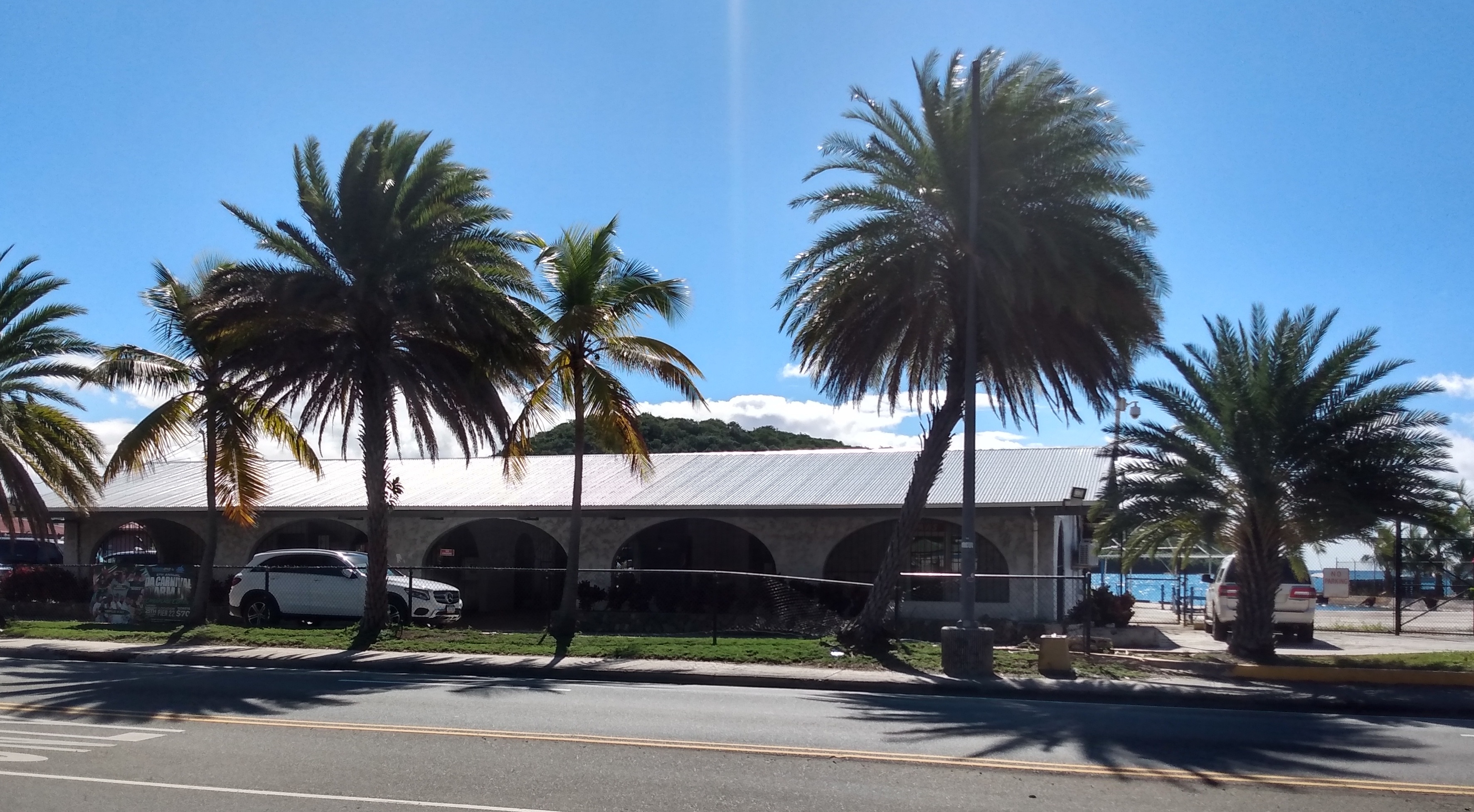
Charlotte Amalie Harbor
In 1764, King Frederick V of Denmark declared Charlotte Amalie a free port, and the harbor has never really stopped trading since. What made this stretch of water irresistible to centuries of merchants, pirates, and naval strategists is geology: the Anegada Passage, at 7,550 feet deep, forms the deepest channel between the Atlantic and the Caribbean Basin, and Charlotte Amalie sits at its doorstep with the deepest natural harbor connected to it. That combination turned a small Danish colonial settlement on the southern coast of St. Thomas into one of the busiest ports in the West Indies -- a place where warehouses along Dronningens Gade once overflowed with sugar, molasses, cotton, and rum bound for Europe, and where the same ships returned with textiles, ceramics, and enslaved people from Africa.
Fortresses and Freebooters
The Danes understood what they had, and they understood what it attracted. Beginning with Fort Christian in 1672, they ringed the harbor with defenses. Skytsborg Tower -- later known as Blackbeard's Castle -- went up on Government Hill in 1679, giving sentries a panoramic view of approaching ships. Bluebeard's Castle, originally called Frederik's Fort, followed in 1688 to cover the eastern approaches. The harbor's vulnerability to pirate raids was not theoretical: under the Esmit Brothers, the second and third governors, St. Thomas openly welcomed freebooters who used it as an operating base. The fortifications were built as much to manage the harbor's lawless reputation as to defend against European rivals. When the British occupied St. Thomas twice during the Napoleonic Wars -- 1801 to 1802 and again from 1807 to 1815 -- they added their own batteries on Hassel Island, recognizing that whoever controlled this harbor controlled the key Caribbean trade routes.
The Island They Cut Free
Hassel Island did not start as an island. Until the mid-19th century, it was a peninsula called Orkanhullet -- Hurricane Hole in English -- connected to St. Thomas by a narrow isthmus. Around 1865, the Danish government severed that strip of land to create the Haulover Cut, a channel that allowed small vessels with drafts under six feet to pass between the main harbor and the West Gregerie Channel. The surgery was part of broader harbor improvements meant to accommodate the larger steamships that were replacing sailing vessels. It worked. Water circulation improved, debris accumulation dropped, and the harbor's navigable area expanded. After the United States purchased the Danish West Indies in 1917 for $25 million in gold, American engineers deepened the channel further, knitting the East and West Gregerie Channels into a single, more capable harbor system.
Twenty-Five Million in Gold
The American purchase in 1917 was driven less by commerce than by fear. Germany's growing naval ambitions during World War I made the prospect of a foreign power controlling Charlotte Amalie's deep harbor intolerable to American strategists. The $25 million price -- roughly $600 million in today's terms -- bought not just three islands but a chokepoint. The U.S. Navy established a submarine base in the harbor, and during World War II it became part of the coastal defense network against potential Axis threats. The harbor's military chapter, though less glamorous than its pirate era, shaped the modern Virgin Islands: American citizenship, American dollars, American infrastructure, all flowing from a strategic calculation about deep water and shipping lanes.
Cruise Ships and Seaplanes
Today Charlotte Amalie handles a different kind of traffic. The West Indian Company Dock in Charlotte Amalie East can berth three large cruise ships at once, while the Crown Bay Cruise Port to the west takes the vessels too large for WICO. Together they make St. Thomas the fifth-busiest cruise port in the United States, behind only Miami, Canaveral, Everglades, and Galveston. In 2023, it ranked 13th in the world by passenger traffic. Ferries connect to St. Croix, St. John, and the British Virgin Islands from the Wilmoth Blyden Marine Terminal. A seaplane base offers scheduled flights to St. Croix. Yacht Haven Grande hosts luxury vessels where sugar barges once moored. The free port status that Frederick V granted in 1764 still draws commerce -- duty-free shopping remains one of Charlotte Amalie's primary tourist attractions. The harbor has changed hands, changed flags, changed cargo, but it has never stopped being what its depth always made it: the Caribbean's front door.
From the Air
Located at 18.34N, 64.93W on the southern coast of St. Thomas, US Virgin Islands. The harbor is one of the most recognizable features from the air -- a deep, protected bay with Hassel Island splitting the western approaches. Cruise ships are usually visible at the WICO and Crown Bay docks. Fort Christian's red walls and clock tower sit at the harbor's edge. Nearest airport is Cyril E. King Airport (TIST), approximately 2nm west of downtown. Approach from the south for the best view of the harbor, its fortifications on the surrounding hillsides, and the channel between Hassel Island and St. Thomas.