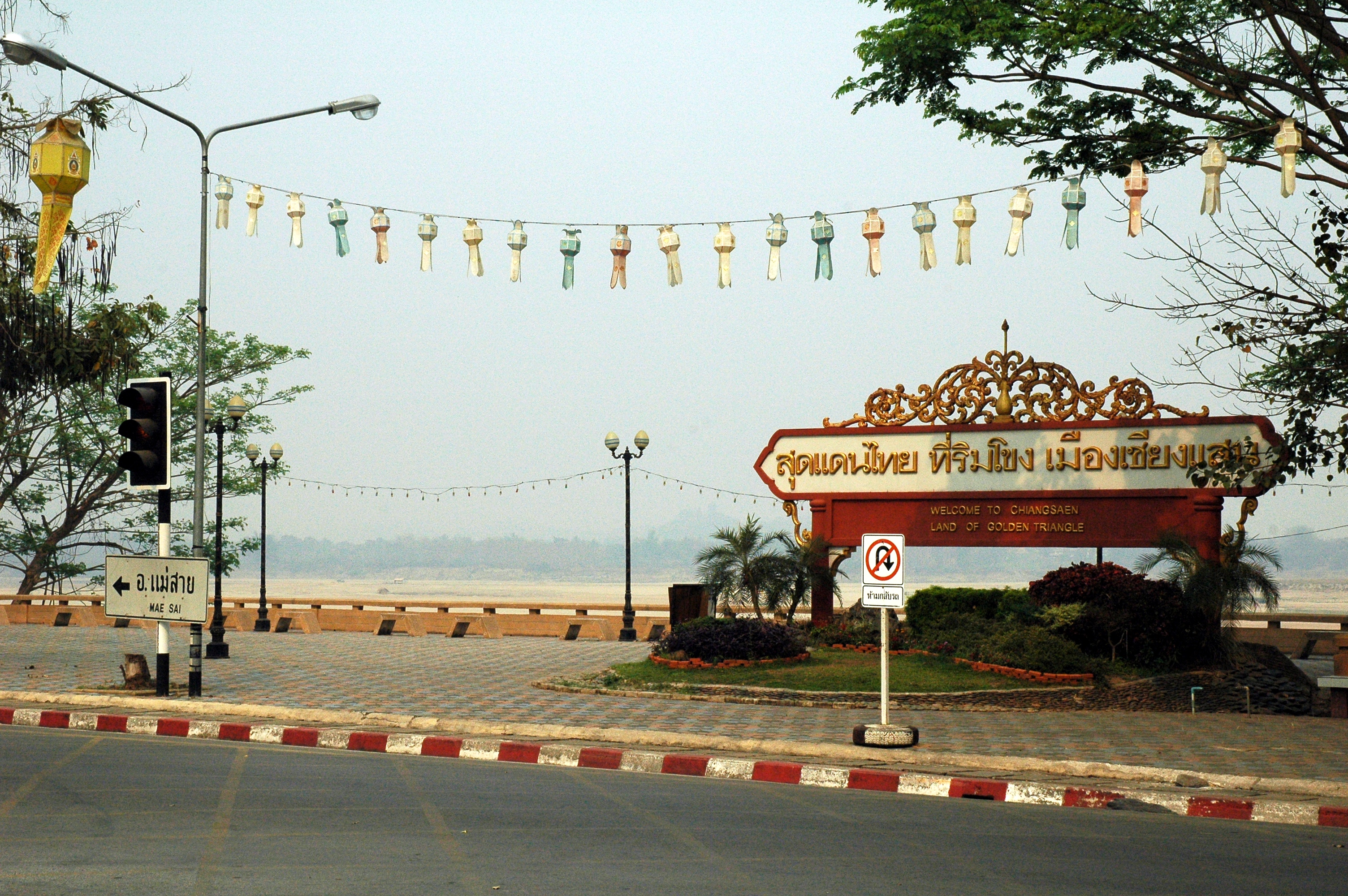
Chiang Saen
Five gates once led into Chiang Saen. Today, only one remains. The Chiang Saen Gate straddles Route 1016, funneling modern traffic through the same opening that Lan Na traders, Burmese governors, and Siamese soldiers once passed through on their way to the Mekong. The city sits at Thailand's northernmost tip, pressed against the west bank of the great river, with Laos visible on the opposite shore. Walk past the restored gate and you enter a place where 14th-century walls still trace an irregular rectangle roughly three kilometers long, most of it consumed by jungle and silence rather than streets.
A City Built by the Mekong
Chiang Saen's founder was practical. In 1329, Saenphu, a grandson of the legendary King Mangrai of Lan Na, chose to build his city directly against the Mekong, using the river itself as the fourth wall. He only needed moats on three sides. The city he called Mueang Roi stretched about 3,000 meters by 1,400 meters, protected by earth walls and five gates, with eight watchtowers scanning the approaches and the surrounding countryside. Saenphu installed his son Khamfu as governor of Chiang Mai, then retired here to the city that would bear his name. He died in 1334, just five years after its founding. But the settlement predated him by centuries. Chronicles describe Ngoenyang, an ancient royal city on the trade routes linking northern Thailand to Yunnan. Mangrai himself was born into the ruling family of Ngoenyang in 1239, and the old name still clings to Chiang Saen like a second identity.
Under Burmese Banners
For over two centuries, from 1558 to 1804, Chiang Saen lived under Burmese control. Unlike other Lan Na cities that chafed and rebelled, Chiang Saen was more tightly woven into the Burmese Empire. A Burmese myowun governed from a fort here, and the city served as the military and political center of Lan Na under Burmese rule through the 18th century. The local 19th-century chronicles even cast Chiang Mai's rebellion against Burma in a negative light, a telling detail that suggests where Chiang Saen's loyalties lay. When Siamese king Rama I finally wrested the city away in 1804, aided by the armies of Chiang Mai's King Kawila and Prince Atthawarapanyo of Nan, the victory came with a harsh order: destroy everything but the temples. The population was deported as forced laborers to the central Thai basin, scattered to provinces hundreds of kilometers away. Descendants of these Tai Yuan people from Chiang Saen can still be found in Ratchaburi and Saraburi today.
Ghost City on the Mekong
For most of the 19th century, Chiang Saen was empty. When British surveyor Holt Samuel Hallett arrived in 1876, he found a deserted city, its walls and temples reclaimed by vegetation. The French explorer Louis Delaporte sketched its ruins in the late 1860s, capturing a landscape where crumbling stupas rose above tangled growth and the Mekong flowed past abandoned ramparts. It was not until 1881 that King Chulalongkorn ordered Chiang Saen refounded, resettling it with families from Lamphun, Lampang, and Chiang Mai. Even now, only a small fraction of the old walled area is inhabited. The earth walls and moat lines remain clearly legible from the air, a ghostly rectangle stamped into the landscape beside the river.
Temples in the Ruins
The Siamese order to spare religious sites left Chiang Saen with a remarkable collection of temple ruins. Wat Pa Sak sits just outside the city walls, its chedi rising on a square Mon-style base, intricately carved and surprisingly well-preserved after seven centuries. Inside the walls, Wat Phra That Chedi Luang dominates the skyline. Only the octagonal chedi survives from the city's main temple, but at 88 meters it remains the tallest structure in Chiang Saen, visible from well across the Mekong. Beside it, the Chiang Saen National Museum houses a collection of Chiang Saen-style Buddha statues, distinctive figures that art historians recognize as a regional school of Buddhist sculpture. These temples and their art represent the cultural thread that survived when everything else about the city was deliberately destroyed.
Where Three Countries Meet
Five kilometers south of town, the Kok River empties into the Mekong, and the landscape opens to a view that takes in three nations. Chiang Saen sits at the edge of the Golden Triangle, the borderland where Thailand, Laos, and Myanmar converge. The town itself is quiet, a far cry from the region's notorious reputation for opium trafficking. Tourist boats cross to Laos, and the old trade routes that once connected Chiang Saen to Yunnan and Xishuangbanna have been replaced by modern roads linking Chiang Rai, 60 kilometers to the southwest. But the geography that made this stretch of the Mekong a crossroads of empires and commerce has not changed. Standing on the riverbank, you look across the same water that carried traders, armies, and refugees for a thousand years.
From the Air
Located at 20.277°N, 100.083°E on the west bank of the Mekong River at Thailand's northernmost tip. The old city walls form a visible rectangular outline roughly 3km x 1.4km against the river. Chiang Rai International Airport (VTCT) lies approximately 60 km to the southwest. The confluence of the Kok River and Mekong, 5 km south of town, marks the Golden Triangle area where Thailand, Laos, and Myanmar meet. Best viewed at 3,000-5,000 feet AGL for the wall traces and river confluence.