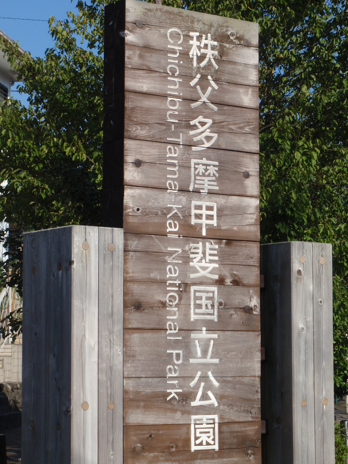
Chichibu Tama Kai National Park
Tokyo has a national park. Not adjacent to it, not a day trip from it -- within its official metropolitan boundaries. Chichibu Tama Kai National Park sprawls across 1,250 square kilometers at the intersection of four prefectures: Saitama, Yamanashi, Nagano, and Tokyo itself. Eight peaks exceed 2,000 meters. Ancient Shinto shrines perch on summits that have been venerated since before the common era. The headwaters of four major rivers begin here as snowmelt trickling through granite. For the 14 million people living in the Kanto Plain below, this park is the nearest wild country -- a corrugation of forested ridgelines where the noise of the world's largest metropolitan area dissolves into birdsong and running water.
Mountains the Gods Claimed First
Mount Mitake stands at the eastern gateway of the park, and humans have been climbing it in reverence since antiquity. The Shinto shrine on its summit was established during the reign of Emperor Sujin, traditionally dated to 90 B.C., making it one of the oldest continuously sacred sites in Japan. The building houses a Zaogonge Statue carved in 736 A.D. Today, a cable car carries visitors up the mountain, but the sense of ascending toward something older than history persists. The park's spiritual geography runs deep. These mountains were not just worshipped -- they were considered dwelling places of the divine, and the trails that connect them were pilgrimage routes long before they were hiking paths. The forest canopy closes overhead as you climb, and the air sharpens with altitude, carrying the mineral scent of exposed rock and the sweetness of Japanese beech.
Where Four Prefectures Meet
The park's unusual political geography shapes its character. On the Tokyo side, Mount Mitake, Mount Odake, and Mount Mito form the accessible front range. Mount Mito's three peaks -- Western (1,527 m), Central (1,531 m), and Eastern (1,528 m) -- anchor a ridgeline running northeast from Mount Takao in Hachioji. The mountain's forests of Fagus japonica, the Japanese beech, earned it a place among Japan's 100 best mountains in 1997. It is also the source of the Aki River, a major tributary of the Tama River. The Saitama side offers different terrain: the Tochimoto Sekisho Historical Site marks a junction where the old Chichibu Trail through Karisaka Pass met the Shinshu Route through Jumonji Pass. In its heyday, this remote mountain settlement was a crossroads for travelers moving between provinces. Nearby, Nakatsu Canyon stretches roughly 10 kilometers along the Nakatsu River, a tributary of the Arakawa, and draws visitors every November when the maple canopy ignites into its fall display.
The Rivers Born Here
What makes Chichibu Tama Kai quietly essential to the life of central Japan is water. The park contains the headwaters of four major rivers: the Arakawa, which flows through Saitama and into Tokyo Bay; the Shinano, Japan's longest river, which runs north through Nagano to the Sea of Japan; the Tama, which supplies drinking water to millions of Tokyoites; and the Fuefuki, a tributary of the Fuji River system. Every glass of tap water poured in western Tokyo began as precipitation on these ridgelines. The connection between the park's granite peaks and the teeming cities downstream is invisible but absolute -- a hydrological lifeline running beneath the surface of daily life. On the Nagano Prefecture side, Mount Kobushi rises to 2,475 meters at the border with Saitama, and one theory holds that its name derives from the first characters of three old provinces that converge at its summit. The mountain is also recognized as the source of the Chikuma River, the Nagano portion of the Shinano.
Trails Through Time
The park's trail network is a palimpsest of centuries. Some paths follow routes that Edo-period travelers used to cross between provinces. Others were blazed by Meiji-era foresters or postwar mountaineering clubs. On the Nagano side, the popular route stretches from Mokiba, famous for its azalea blooms in June, to the summit of Mount Kobushi. In the Saitama section, old railway tracks from the Shinrin Railway are still visible across the river from Nakatsu Canyon -- remnants of the logging industry that once pulled timber from these slopes. Three visitor centers serve the park: Mitake, Okutama, and Yama-no-furusato, each oriented toward a different section of the terrain. The park was established in 1950, but the land it protects has been considered special for millennia. Walking these trails, you move through layers of human meaning -- pilgrimage, commerce, forestry, recreation -- all pressed into the same narrow mountain paths, each generation adding its own purpose to the stone underfoot.
From the Air
Located at 35.90N, 138.72E, the park covers 1,250 square kilometers of mountainous terrain west of Tokyo's urban core. From altitude, the park appears as a dense green corrugation of ridgelines and valleys at the intersection of Saitama, Yamanashi, Nagano, and Tokyo Prefectures. Eight peaks exceed 2,000 meters, with Mount Kobushi (2,475 m) as the highest point on the western edge. The nearest major airport is Tokyo Haneda (RJTT), approximately 80 km to the southeast. Narita International (RJAA) is farther east. The park is bordered by the Kanto Plain to the east, offering a dramatic transition from dense urban landscape to forested mountains visible in a single sweep from cruising altitude. On clear days the contrast between Tokyo's concrete sprawl and this unbroken mountain wilderness is striking.