Chickasaw National Recreation Area
In 1914, a pocket-sized national park in south-central Oklahoma drew more visitors than either Yellowstone or Yosemite. No grand canyon or towering peak pulled them in -- just thirty-two freshwater and mineral springs bubbling up through the foothills of the Arbuckle Mountains, springs the Chickasaw people believed held healing powers. The Chickasaw had discovered these waters after their forced relocation from the southeastern United States in the 1830s, and fearing that developers would privatize the springs as had happened at Hot Springs, Arkansas, they sold a 640-acre parcel to the federal government in 1902 to ensure public access forever.
The Park That Outshone Yellowstone
Connecticut Senator Orville H. Platt introduced the legislation that established the Sulphur Springs Reservation in 1902, protecting the springs in what was then part of Indian Territory. The reservation opened to the public on April 29, 1904, and two years later Congress renamed it Platt National Park, honoring the senator a year after his death. It was the seventh national park created in the United States and the smallest, as well as the only national park Oklahoma ever had. Two railroads -- the Sulphur Springs Railway (later the Frisco line) and the Atchison, Topeka and Santa Fe -- built spur lines directly to the town of Sulphur, which became the main entrance. Visitors thronged in such numbers that by 1914 tiny Platt outpaced the famous parks of the American West. As part of the Chickasaw tribe's arrangement with the U.S. government, the park has never charged an admission fee.
Craftsmen of the New Deal
In the 1930s, Civilian Conservation Corps crews transformed the park's infrastructure with the rustic stone and timber construction style that defined the era's finest national park architecture. They built pavilions over the natural springs, constructed park buildings and enclosures, and created a bison pasture that still exists today. The Bromide Pavilion stands as one of the finest surviving examples of their craftsmanship. These CCC workers applied then-popular ideas of landscape design to create what visitors described as an oasis in the Oklahoma prairie -- a tranquil and scenic refuge where forested creek bottoms gave way to open meadows and bubbling springs. The environment they built has remained remarkably well-preserved, earning designation as a National Historic Landmark in 2011, a testament to both the quality of their work and the care of subsequent generations.
Waters of Travertine
The heart of the recreation area is the Travertine District, embracing the old Platt National Park boundaries in a ribbon of parkland three miles long and less than a mile wide. Antelope Springs and Buffalo Springs rise at the eastern end, producing five million gallons of cool, crystal-clear water per day. These waters form Travertine Creek, which is joined by Rock Creek about two miles downstream. Other freshwater and mineral springs feed into the creeks as they flow through the district, dropping in small waterfalls over travertine ledges that give the area its name. Several miles of walking and biking trails wind through the heavily forested bottomland. In 1976, Congress abolished Platt National Park and combined it with the Arbuckle Recreation Area and additional lands to create the much larger Chickasaw National Recreation Area, honoring the people whose foresight preserved these waters in the first place.
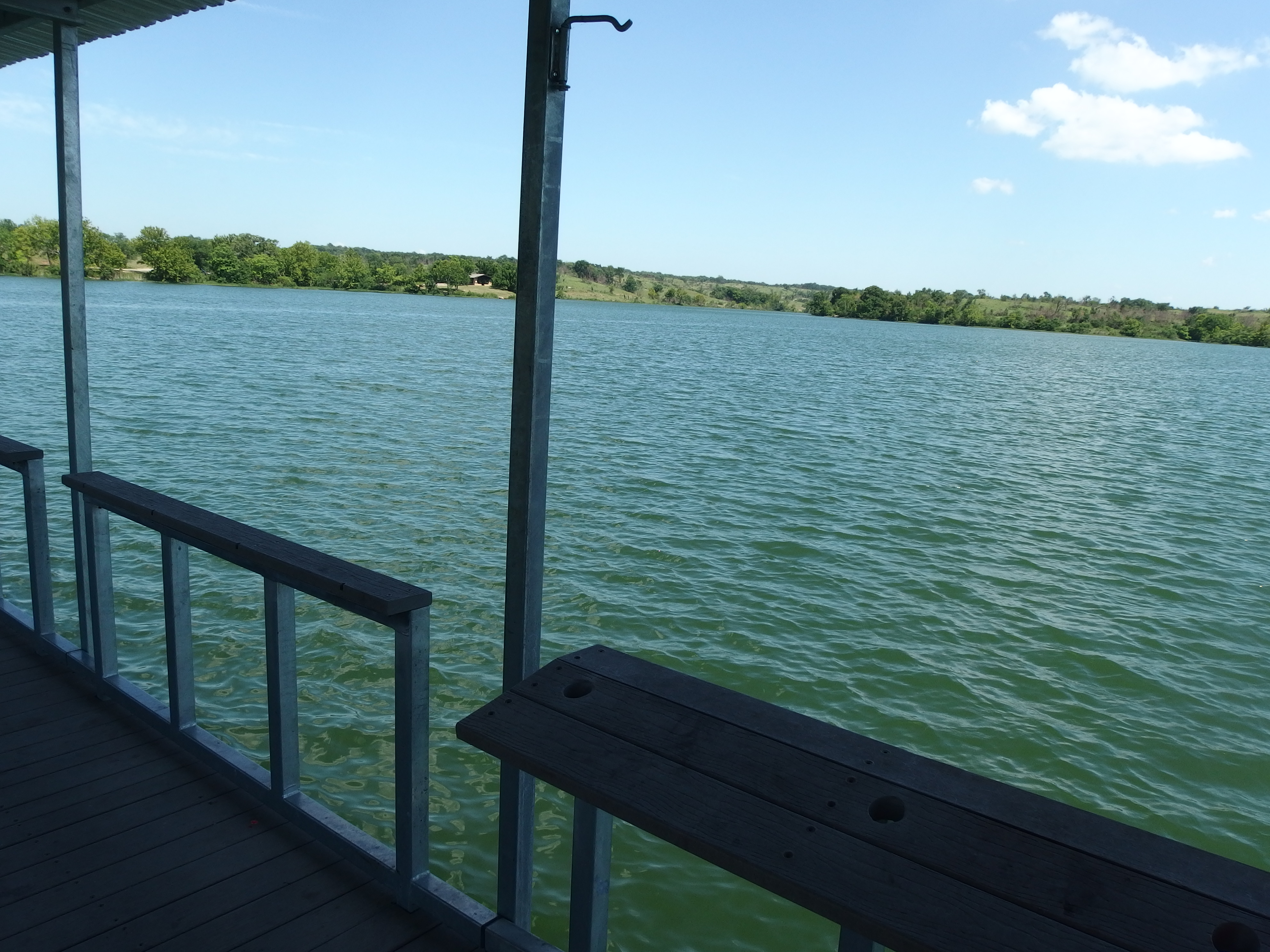
Lake Country
Most of the recreation area's acreage belongs to the 2,350-acre Lake of the Arbuckles and the prairie and woodland along its thirty-six miles of shoreline. Built by the Bureau of Reclamation in 1966 by impounding Rock Creek, the lake serves as a principal water supply reservoir for the city of Ardmore, about thirty miles to the southwest. Water quality and clarity remain excellent, and the Oklahoma Department of Wildlife Conservation has rated it the best bass fishing lake in the state. Year-round anglers pursue crappie, catfish, largemouth bass, white bass, and bluegill. In 2024, the park sustained significant damage when the Sulphur tornado tore through, carving a path from the Lake of the Arbuckles into the Travertine District. Recovery continues, a reminder that even protected landscapes are vulnerable to Oklahoma's powerful weather.
From the Air
Chickasaw National Recreation Area sits at 34.50N, 96.97W in the foothills of the Arbuckle Mountains near Sulphur, Oklahoma. Lake of the Arbuckles is the most visible feature from altitude -- look for the irregularly shaped reservoir surrounded by green woodland contrasting with the surrounding prairie. Nearest airport: Sulphur Municipal Airport (3O4), approximately 3 miles north. Davis Field (1F4) is about 10 miles west. Best viewed at 3,000-5,000 feet AGL to appreciate the contrast between the forested creek corridors and open prairie.