Chilika Lake
The villagers around Chilika Lake still celebrate Bali Yatra -- the Journey to Bali. The festival commemorates an era when this 1,100-square-kilometer lagoon on Odisha's east coast was not a birdwatching destination but a maritime gateway. A tenth-century text, the Brahmanda Purana, describes Chilika as a shelter for ships sailing to Java, Malaya, Singhala, and China. The lake was deep enough to berth seagoing vessels and wide enough to launch trading fleets toward Southeast Asia. That world is gone now, silted over and transformed, but Chilika remains extraordinary -- Asia's largest brackish water lagoon, India's first Ramsar site, and a tentative UNESCO World Heritage nominee where salt water and fresh water merge in an ecosystem unlike any other on the subcontinent.
Port of Kings and Pilgrims
Chilika's maritime history reaches back millennia. Geological evidence places the lake as part of the Bay of Bengal during the late Pleistocene period. Excavations at Golabai Sasan, north of the lake, revealed a boat-building center dating to 2300 BCE -- the only excavated site in Odisha where such activity has been documented. By the second century BCE, King Kharavela of Kalinga was known as the "Lord of the Sea," and the southern sector of Chilika served as a major harbor. The Greek geographer Ptolemy, writing around 150 CE, identified the port of Paloura near the lake's southern tip as a departure point for ships bound for Southeast Asia. Chinese pilgrims Fa-Hien and Hiuen-Tsang later described a famous port called Che-li-ta-lo-Ching on the lake's banks -- a thoroughfare for sea-going traders and strangers from distant lands. Seventh-century ship anchors unearthed at the village of Kanas, 25 kilometers north of the lake, confirm that these were not legends but records of a thriving maritime world.
Where Salt Meets Sweet
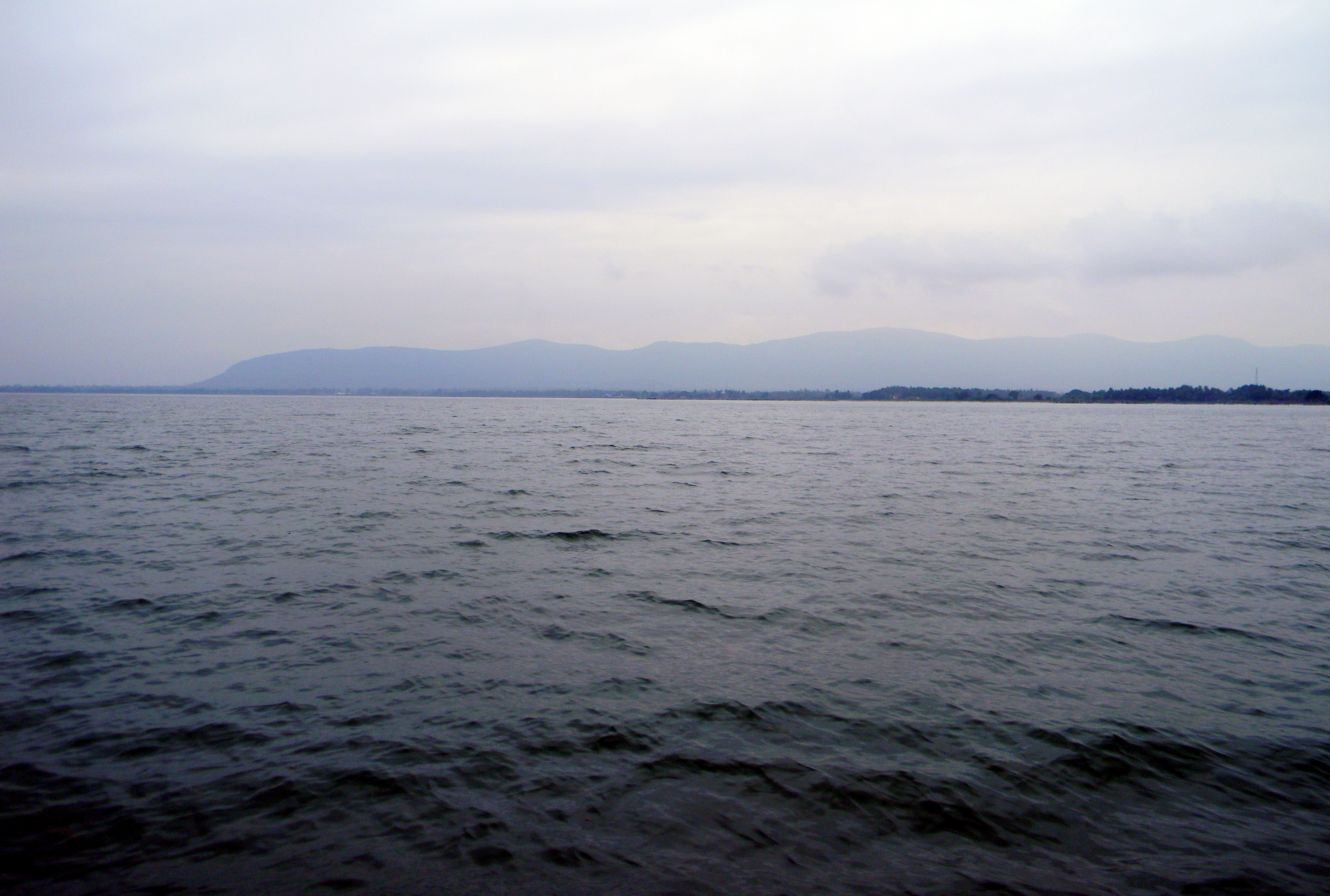
Chilika is a shape-shifter. Its water surface area swells from 906 square kilometers in the dry winter to 1,165 square kilometers during the monsoon. Salinity varies by region, from freshwater where rivers flow in to full oceanic levels near the tidal inlet. A 32-kilometer outer channel connects the lagoon to the Bay of Bengal, and the location of this mouth has shifted repeatedly over centuries -- generally drifting northeast as siltation reshapes the barrier. The Mahanadi River's distributaries feed the lake from the north, while 52 river channels enter from the west, delivering an estimated 13 million metric tons of silt annually. This constant flux means Chilika is never quite the same lake twice. The Western and southern margins are fringed by the Eastern Ghats, while a sandy barrier separates the lagoon from the open ocean -- a 30-kilometer stretch of empty, unexplored beach.
A Million Wings in Winter
When winter arrives, Chilika transforms into one of the largest congregations of migratory birds in Asia. Over 160 species arrive from the Caspian Sea, Lake Baikal, the Kirghiz steppes of Kazakhstan, Siberia, Mongolia, Iran, Iraq, Afghanistan, and the Himalayas -- some traveling as far as 12,000 kilometers to reach these waters. In January 2008, a census involving 85 wildlife officials counted 900,000 birds, with 450,000 concentrated on Nalbana Island alone. Nalbana -- the name means "weed-covered island" in Odia -- is the core of the Ramsar wetlands, a 15.53-square-kilometer island that vanishes entirely during the monsoon and reappears as the waters recede, drawing birds to its mudflats in staggering numbers. White-bellied sea eagles, flamingos, greylag geese, purple herons, spoonbills, pintails -- the lagoon's bird checklist reads like an atlas of global flyways converging on a single body of water.
Dolphins, Threats, and a Fragile Recovery
Around 159 Irrawaddy dolphins inhabit the lagoon, a population once confined to the inlet channel and a sliver of the central sector. After the Chilika Development Authority opened a new mouth at Satapada in 2000, the dolphins spread into the central and southern sectors. That intervention -- cutting a new channel to the sea -- was the turning point in a decades-long conservation battle. Chilika was designated India's first Ramsar site in 1981, but by 1993 the lake's ecological decline was severe enough to earn it a place on the Montreux Record of threatened wetlands. Siltation was choking the inlet. Freshwater invasive species, especially water hyacinth, were spreading unchecked. Commercial prawn aquaculture was depleting fisheries and bird populations. The new mouth restored salinity, cleared invasive plants, and brought six threatened fish species back, including hilsa and milkfish. In 2002, Chilika became the only Ramsar site in Asia to be removed from the Montreux Record through verified ecological recovery.
The Goddess and the Gemstone Sellers
Kalijai Temple sits on an island in the lagoon, considered the abode of the goddess for whom it is named. Local fishermen regard her as the reigning deity of Chilika. Nearby, the island of Barunkuda holds a temple to Lord Varuna, god of the sea -- fitting for a lake that was once an ocean and that still negotiates the boundary between salt water and fresh. At Manikapatna, along the outer channel, an old mosque has an entrance door fashioned from the jaw of a whale, and archaeological evidence confirms this was once a port for Far Eastern trade. The lagoon's more recent reputation is less romantic: Chilika has become known for tourist scams involving fake pearls and gemstones, a reminder that not all who come to these waters are drawn by beauty or history. But the lake endures, as it has for millennia -- 726 species of flowering plants, 323 aquatic species, over 350 non-aquatic plant species, and every winter, a sky darkened by wings.
From the Air
Chilika Lake is located at 19.72N, 85.32E along Odisha's east coast, covering over 1,100 square kilometers. From the air, the lagoon is unmistakable -- a vast sheet of water separated from the Bay of Bengal by a narrow sandy barrier. Nalbana Island is visible in the lake's center. The nearest major airport is Bhubaneswar (VEBS/BBI), approximately 100 km northeast. The town of Puri is about 50 km northeast of the lake's eastern shore. Best viewed at 5,000-8,000 feet AGL for the full lagoon perspective. The Eastern Ghats ridge line marks the western and southern margins.