The Chilkoot Trail and the Golden Stairs
The photograph is burned into history: a line of black figures crawling up a white wall of snow, each bent under impossible loads, stretching from bottom to top of the frame and beyond. This was the Golden Stairs, the final ascent of the Chilkoot Trail, a 45-degree ice slope where gold seekers in 1898 hauled their mandatory ton of supplies into Canada. Step out of line and you waited hours to rejoin. Collapse and you died where you fell. An estimated 30,000 people climbed this trail during the Klondike Gold Rush, making thirty to forty trips each to relay their goods over the pass. Most found no gold. Many never came home. The trail still exists, still climbs to the same pass, still asks hikers to measure themselves against the ghosts of the desperate.
The Stampede
When the steamship *Portland* arrived in Seattle in July 1897 carrying a 'ton of gold,' it triggered the last great gold rush. Within months, 100,000 people set out for the Klondike. Most had no idea what lay ahead. The Chilkoot Trail was the fastest route from tidewater to the Yukon River - 33 miles from Dyea, Alaska to Lake Bennett in Canada. But the Canadian government, remembering starvation in earlier rushes, required each person to bring a year's worth of supplies - roughly 2,000 pounds. There was no way to carry that much at once. So stampeders relayed, making dozens of trips, caching supplies along the trail, climbing the pass again and again until their ton was across.
The Stairs
The Golden Stairs were 1,500 steps chopped into the ice at the steepest section of Chilkoot Pass - a 45-degree slope rising a thousand vertical feet. In winter, a continuous line of climbers ascended these steps, each person climbing for hours while carrying 50 to 100 pounds. The line moved slowly; step out to rest and you might wait all day to rejoin. Tramways were built to haul freight, but most couldn't afford them. The alternative was the Peterson Trail, a longer but less steep route. Both converged at the summit, where Canadian Mounties collected customs duties and verified that each person had their required ton. Beyond lay Canada, and the rivers that led to gold.
The Death
On April 3, 1898, an avalanche swept down from the slopes above the Golden Stairs and buried part of the trail. Somewhere between 60 and 70 people died - the exact number was never determined. Bodies were recovered for weeks. The disaster barely slowed the stampede; within days, new climbers were ascending past the burial sites. Throughout the rush, people died of exhaustion, exposure, accidents, and disease. The trail was littered with discarded equipment and dead horses. The survivors reached Lake Bennett, built boats, and floated to Dawson City - where most found that the good claims were already taken. The gold rush was a fever dream from which most woke poor.
The Trail Today
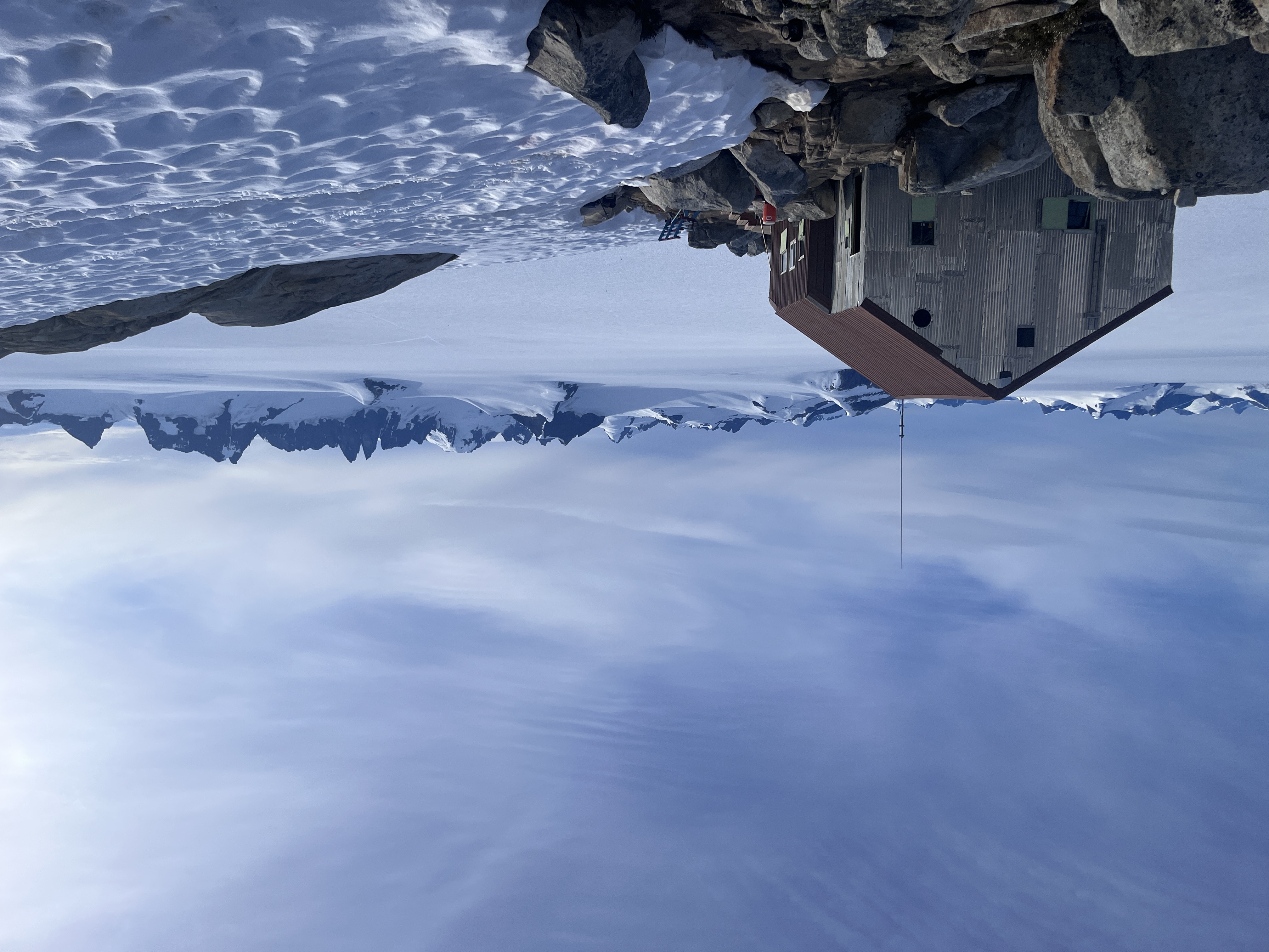
The Chilkoot Trail is now a 33-mile backcountry route managed jointly by the US and Canadian park services. Hikers need permits (limited daily) and typically take 3-5 days to complete the trek. The trail passes through rainforest, subalpine meadows, and the rocky summit - the same terrain the stampeders crossed, minus the ice stairs. Artifacts litter the route: rusting stoves, rotting boots, wagon wheels, and the bones of horses. The summit is a boulder field at 3,525 feet, often shrouded in fog. Descending into Canada, hikers reach Lake Bennett where thousands of stampeders built boats in 1898. The old cemetery holds those who didn't survive the journey.
Hiking the Chilkoot Trail
The Chilkoot Trail begins in Dyea, Alaska (9 miles from Skagway) and ends at Bennett, British Columbia. Permits are required and limited to 50 hikers per day; book months in advance for summer dates. The trail is typically hikable June through September. Most hikers take 3-5 days, camping at designated sites. The pass itself is the crux - steep, rocky, and often foggy. Weather changes fast; snow is possible any month. At Bennett, a historic train returns hikers to Skagway. Skagway is accessible by Alaska Marine Highway ferry or cruise ship. The trail is strenuous but the real challenge is psychological - walking in the footsteps of the desperate, surrounded by artifacts of their suffering.
From the Air
Located at 59.42°N, 135.27°W, the Chilkoot Trail runs from Dyea, Alaska to Bennett, British Columbia. From altitude, the trail is a line crossing from coastal fjords to interior lakes - the pass itself is visible as a low point in the Coast Mountains between Dyea and Lake Bennett. Skagway sits at the head of Taiya Inlet, a dramatic fjord. The Lynn Canal stretches south toward Juneau. Lake Bennett and the lakes beyond lead to the Yukon River. The terrain is vertical - fjords giving way to mountains that rise thousands of feet from tidewater. The pass where 30,000 people hauled their supplies looks impossibly steep even from the air.