Chindwin River
Somewhere in the jade mines of Hpakant, a miner chips away at rock in the headwaters of the Uyu, hoping to find the translucent green that has drawn fortune-seekers to these mountains for centuries. The stone he seeks -- jadeite, the finest jade on Earth, found nowhere else -- reaches the world through a river most of the world has never heard of. The Chindwin, Myanmar's greatest tributary, begins where four rivers converge in the broad Hukawng Valley of Kachin State, then winds south through some of the most inaccessible terrain in Southeast Asia before surrendering its waters to the Irrawaddy. Along the way, it passes through the largest tiger preserve on the Asian mainland, feeds teak forests that have been logged since ancient times, and cuts through mountain ranges that have swallowed entire armies.
Where Four Rivers Meet
The Chindwin is born from abundance. In the Hukawng Valley, the Tanai, Tabye, Tawan, and Taron rivers merge into a single channel that satellite imagery shows is the widest watercourse in the region. The Tanai's headwaters begin on the Shwedaunggyi peak of the Kumon range, twelve miles north of Mogaung, flowing due north before turning west across the valley floor. In 2001, the Myanmar government established the Hukaung Valley Wildlife Sanctuary here, initially covering roughly 6,371 square kilometers. The sanctuary was later expanded to approximately 17,890 square kilometers, making it the world's largest tiger reserve -- a vast tract of forest, grassland, and river corridor dedicated to the endangered tiger. The Chindwin threads through the heart of it, carrying sediment and life southward through terrain so difficult to reach that much of it remains genuinely wild.
Rivers of Jade and Teak
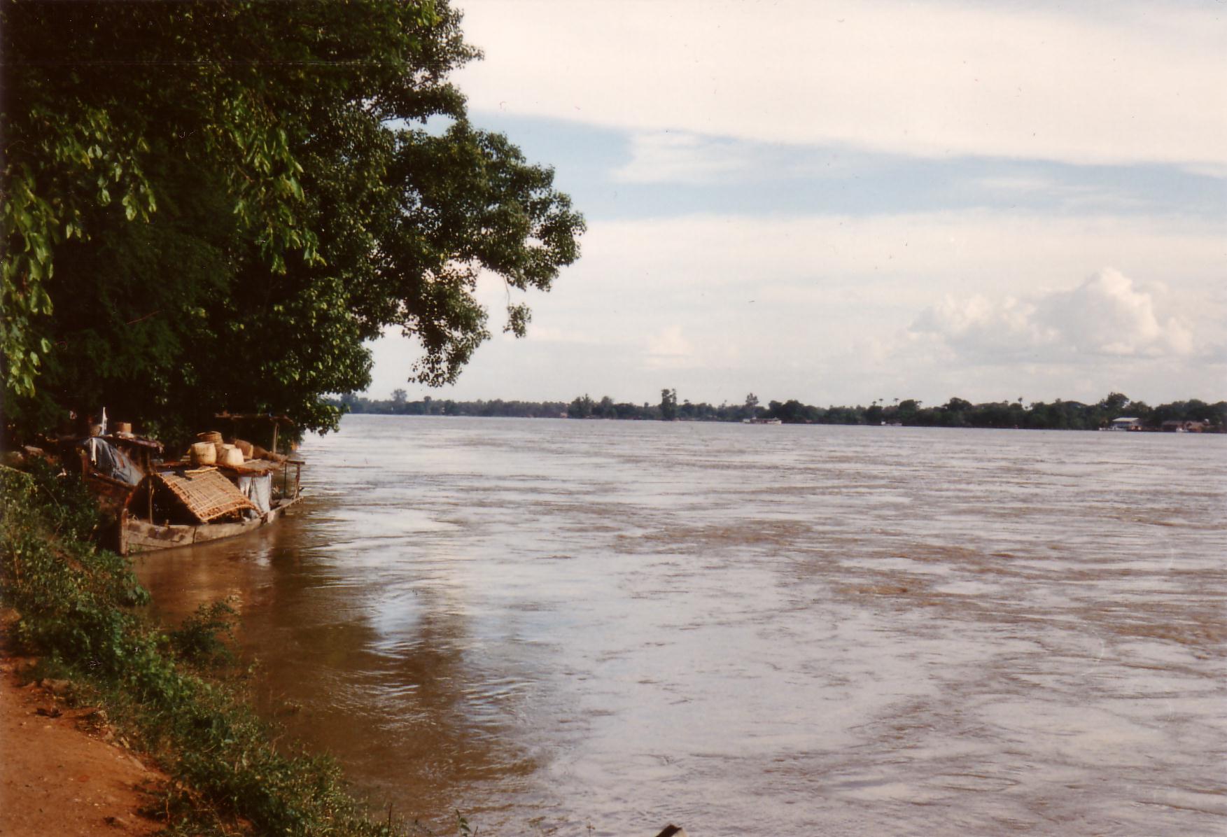
The Chindwin's tributaries carry more than water. The Uyu River, its largest, joins from the left bank just below the town of Homalin, and in the Uyu's headwaters lie the jade mines of Hpakant -- the only place on Earth where imperial jadeite is found. For centuries, this stone has been Myanmar's most coveted export, a gem so prized in Chinese culture that it once rivaled the value of diamonds. Further downstream, the Myittha River drains the Kale valley before joining the Chindwin at Kalewa. The Tizu River arrives from the hills of Nagaland in northeast India, connecting the Chindwin's watershed to the subcontinent. Along the main channel, teak forests have been harvested since ancient times, and the river itself serves as a commercial highway -- regular vessels navigate upstream as far as Homalin, carrying goods through a landscape rich with amber deposits. The Hukawng Valley is known for its Burmese amber, some of it containing preserved insects millions of years old.
The Mountains That Swallowed Armies
The mountain ranges flanking the Chindwin's western bank are formidable but not impenetrable, and history has tested that distinction repeatedly. In the early eighteenth century, King Garibaniwaj of Manipur sent his army across the Chindwin and the Mu River, seizing Myedu and pushing as far as Sagaing, within sight of the Burmese capital at Ava. The tables turned after 1758, when King Alaungpaya's forces marched westward across those same mountains to invade and occupy both Manipur and Assam, eventually encroaching on British India itself. But it was World War II that proved the Chindwin's deadliest chapter. After Japan cut off sea access to Burma, British and Allied forces under General Joseph Stilwell retreated on foot across the western mountains toward India. Disease and hunger killed far more soldiers than combat. The Ledo Road was later built across the Hukawng Valley to supply China, and the Chindwin became a strategic barrier -- first for the Japanese attempting to invade India, then for the Allies fighting to retake Burma.
A Lifeline Through Wild Country
Much of the Chindwin's course winds through mountain ranges and dense forest, passing towns that cling to its banks like beads on a thread. Hkamti sits in the far north, near the edge of tiger country. Homalin and Mawlaik mark the middle reaches where the river begins to widen. Kalewa, at the Myittha confluence, has been a crossing point for travelers and armies alike for centuries. Monywa, near the river's junction with the Irrawaddy, is the largest settlement on its banks and the point where discharge data has been recorded since 1966. The Chindwin's cultural influence runs deep through western Myanmar -- Central Sino-Tibetan languages originated from valley areas along this river, and the communities strung along its length have maintained distinct traditions shaped by the geography that both isolates and sustains them. In a country where rivers serve as the primary arteries of commerce and connection, the Chindwin remains one of the most vital and least known.
From the Air
The Chindwin River is visible as a major waterway at coordinates 21.48N, 95.29E, winding through western Myanmar. At cruising altitude, the river is identifiable as a wide ribbon cutting through forested mountain ranges. The confluence with the Irrawaddy near Monywa is a prominent landmark. Nearest major airport is Mandalay International (VYMD). The Hukawng Valley in the upper reaches appears as a broad green plain surrounded by mountain ridges.