Chiricahua National Monument
The Chiricahua Apache called this place the land of standing up rocks, and the name captures what no photograph fully conveys - the uncanny sense that these stone towers are not formations but presences, gathered here in their thousands as if waiting for something. Twenty-five million years ago, a volcanic eruption blanketed this region in ash that hardened into rhyolite tuff, then spent eons being carved by wind and water into pinnacles, columns, and balanced rocks that defy expectation. The monument protects one of the strangest landscapes in the American Southwest, a sky island where four biomes meet and coatimundis share trails with black bears.
Sculptors of Deep Time
The rock formations of Chiricahua are the remnants of a cataclysm. When Turkey Creek Caldera erupted roughly 27 million years ago, it ejected over 450 cubic miles of volcanic material - enough to bury a modern city under thousands of feet of ash. That ash welded together into dense rhyolite tuff, then cracked into massive columns as it cooled. What you see today represents 25 million years of differential erosion, where softer rock yielded while harder sections resisted, creating pinnacles, balanced rocks, and stone mushrooms. The Heart of Rocks area at the upper end of the monument contains the most spectacular formations, including Punch and Judy, Big Balanced Rock, and the famed Kissing Rocks.
The Sky Island Effect
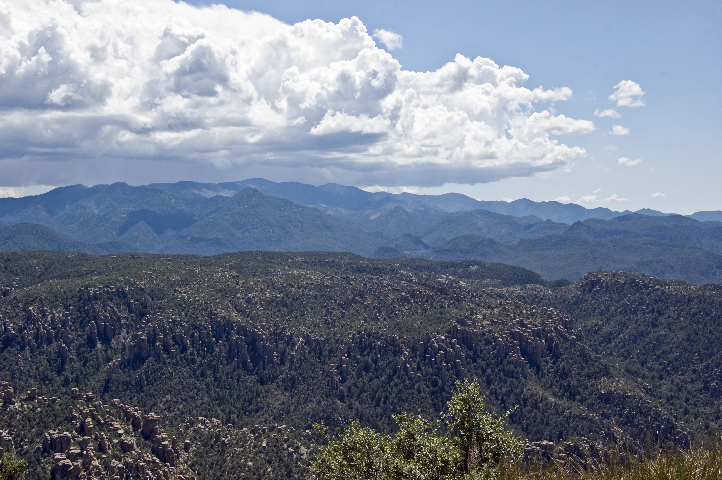
The Chiricahua Mountains rise from the desert floor without foothills, an isolated massif that ecologists call a sky island. This vertical isolation creates a biological mixing zone unlike anywhere else in North America. Coatimundis and javelinas wander up from Mexico, white-tailed deer and black bears range down from northern mountain ecosystems, and the occasional jaguar prowls through on its way somewhere else entirely. Nearly 200 bird species have been recorded here, including the spectacular elegant trogon - a tropical bird that reaches its northern limit in these canyons. The combination of desert, grassland, oak woodland, and pine forest within a few thousand vertical feet creates a naturalist's paradise.
Refuge and Resistance
Before it became a national monument in 1924, this was Chiricahua Apache territory - not just homeland but fortress. The band's name comes from these mountains, and leaders like Cochise and Geronimo used the maze of canyons and pinnacles as a refuge during decades of resistance against Mexican and American incursions. The land of standing up rocks provided cover, vantage points, and a terrain so confusing that pursuing armies often gave up the chase. Cochise Stronghold in the nearby Dragoon Mountains served a similar purpose, but the Chiricahuas remained the spiritual heart of Apache resistance until the wars finally ended in 1886.
Faraway Ranch and Living Memory
Swedish immigrants Neil and Emma Erickson homesteaded Bonita Canyon in the 1880s, operating a working ranch that later became a guest ranch known as Faraway. The ranch structures still stand and offer tours on select days, connecting visitors to the human history layered atop the geological story. Much of the monument's infrastructure - trails, stone walls, the scenic drive - dates to the Great Depression, when Civilian Conservation Corps workers shaped the landscape for public access. Walking these trails today, you move through time as easily as through terrain.
Into the Heart of Rocks
The signature hike begins with a morning shuttle from the visitor center to the Echo Canyon trailhead at 7,000 feet. From there, trails wind through the Heart of Rocks and down to the visitor center, almost entirely downhill. The rock formations crowd close to the trail - towers and spires and impossible balanced boulders that seem to lean in as you pass. The rarefied air at this elevation adds to the dreamlike quality; plan to move slower than you expect and bring more water than you think you need. Rattlesnakes favor the rocky crevices, coatis patrol the campground, and the chubasco - violent localized storms born from dying Gulf of California low-pressure systems - can strike with hurricane-force winds and lightning of almost theatrical intensity.
From the Air
Chiricahua National Monument lies at approximately 32.01N, 109.34W in the Chiricahua Mountains of southeastern Arizona. The monument is visible as a distinctive area of pale rock formations on the western slopes. The sky island effect is dramatically apparent from altitude - the mountains rise abruptly from surrounding desert and grassland. Elevation ranges from 5,000 feet at the entrance to over 7,000 feet at the upper formations, with the Chiricahua peak above 9,000 feet outside monument boundaries. Nearest airports: Willcox has private strips, Douglas Bisbee International (KDUG) lies 40nm south, Tucson International (KTUS) 120nm west. Strong afternoon thermals develop over the mountains; morning flights offer smoothest air and best visibility of the rock formations.