Chirripo National Park
The mountain is named Monte Sin Fe -- Mount Without Faith -- and you will understand why around hour six. Chirripo National Park protects Costa Rica's highest point, Cerro Chirripo, which rises to 3,821 meters in the Talamanca Range. To reach the summit, hikers walk 16.5 kilometers uphill from the village of San Gerardo de Rivas to a basic shelter at the Los Crestones base camp, then push another 5 kilometers to the peak the following dawn. There is no cable car. There is no shortcut. The trail simply goes up. It is the 37th most prominent peak in the world and the highest point between Guatemala and the Colombian Andes, and every meter of elevation is earned on foot.
From Howler Monkeys to Frozen Grass
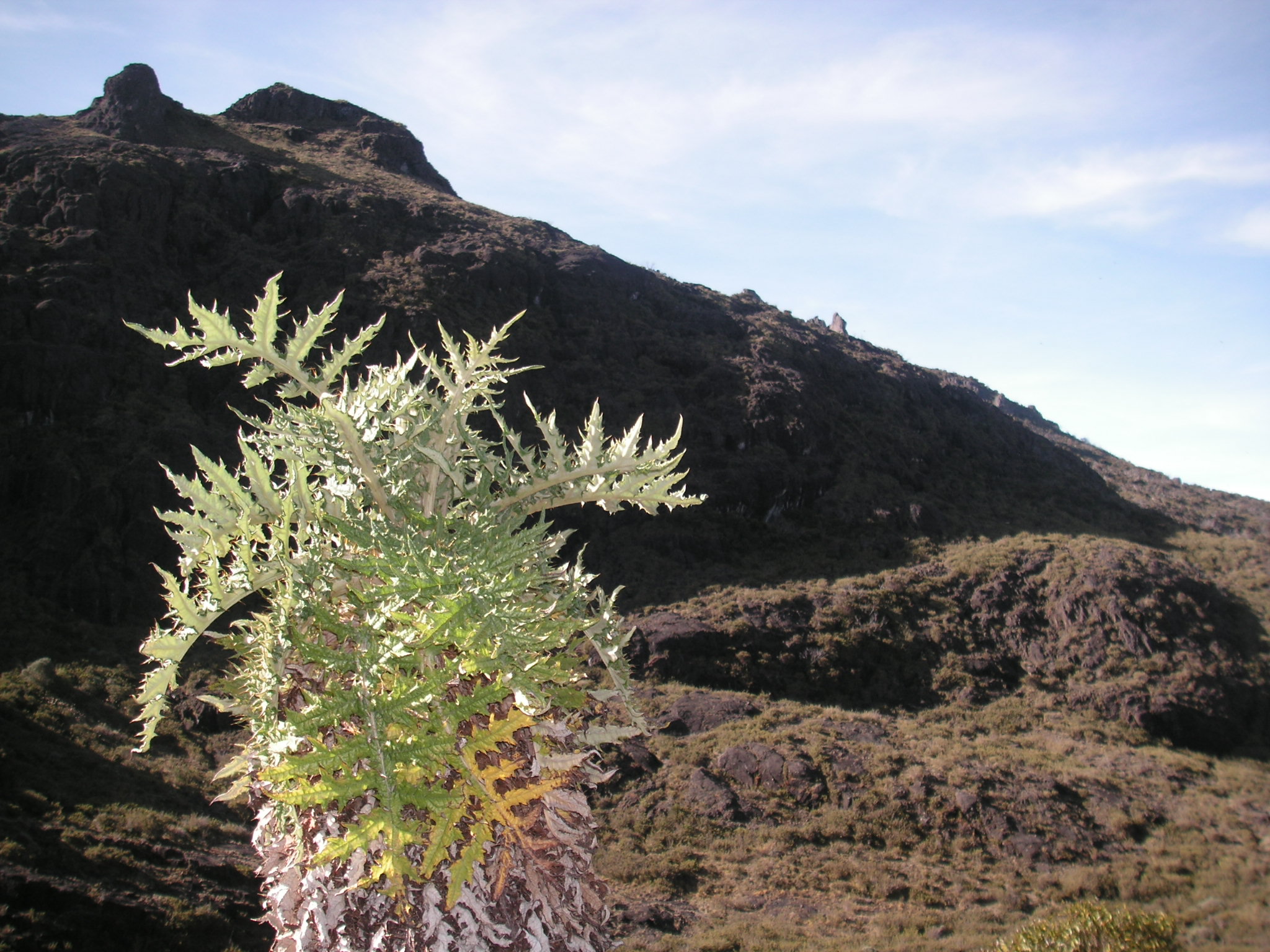
What makes Chirripo extraordinary is not just altitude but the sheer range of ecosystems compressed into a single ascent. The trail begins in humid tropical forest where howler monkeys bellow from cecropia trees and the resplendent quetzal -- Central America's most celebrated bird -- flashes green and red through the cloud forest canopy. Toucanets and trogons work the mid-elevation branches. As the trail climbs past 3,400 meters, trees shrink to stunted forms and then give way entirely. The cloud forest yields to paramo, a high-altitude grassland ecosystem more commonly associated with the Andes. Here, tough shrubs and bunch grasses replace the green canopy, the air thins noticeably, and temperatures can plummet to minus 9 degrees Celsius. The transition feels less like a hike and more like walking between continents.
The Climb Itself
Fit hikers complete the 16.5-kilometer ascent to the base camp shelter in six to seven hours. Slower hikers should expect up to twelve. The trail is well marked but relentless. It begins with La Cuesta del Agua, a two-hour uphill stretch that sets the tone for the day. The climb crests at Monte Sin Fe before descending slightly to the Chirripo Shelter, a basic bunk facility six kilometers below the summit. Registration and permits must be obtained in San Gerardo de Rivas beforehand, and hikers are not allowed to begin the ascent after midday. Tent camping is prohibited. You carry your food in and your trash out -- there is nowhere to buy supplies on the trail. The next morning, trekkers rise before dawn to cover the final five kilometers to the summit, timing their arrival for sunrise and the chance to see both oceans at once.
Two Oceans at Dawn
On a clear morning -- and clear mornings are not guaranteed -- the summit of Cerro Chirripo delivers a view that is difficult to overstate. The Pacific Ocean stretches to the west. The Caribbean lies to the east. Between them, the Talamanca Range ripples in every direction, its ridgelines softened by cloud forest and sharpened by morning light. The nearby peaks of Cerro Terbi and the Valle de los Conejos -- Rabbit Valley -- spread below. Glacial lakes left from the Pleistocene dot the high terrain. The park sits adjacent to La Amistad International Park, together forming one of the largest protected areas in Central America. Standing at the highest point in Costa Rica at dawn, watching light define two oceans simultaneously, is the kind of moment that makes the twelve hours of uphill hiking feel like a reasonable trade.
Fire and Fragility
The paramo ecosystem at Chirripo's summit is beautiful and vulnerable. During the dry season, which runs roughly from December through April, the upper regions become susceptible to wildfires. Major fires have been recorded in 1953, 1958, 1976, 1977, 1981, 1992, and 2012. The 1992 fire was catastrophic, burning more than 20 square kilometers of vegetation and forcing the park to close for four months. Recovery in paramo is slow -- the thin soils and extreme conditions mean that what burns does not grow back quickly. Park management now focuses on prevention during the dry months. Augustin Blessing, recorded as the first European to climb the mountain, made his ascent in 1904. The Chirripo region had long been known to the indigenous Cabecar people, for whom these highlands hold cultural and spiritual significance that predates any summit register.
From the Air
Located at 9.48N, 83.48W in the Talamanca Range of southern Costa Rica. From altitude, Cerro Chirripo is identifiable as the highest point in a rugged mountain range, with the surrounding peaks of the Talamanca cordillera visible in all directions. The paramo zone near the summit appears as lighter-colored grassland contrasting with the dark green cloud forest below. The trail from San Gerardo de Rivas is not visible from altitude, but the village sits in a valley on the western approach. Nearest airports: San Isidro de El General has a small airstrip; the nearest commercial airport is Juan Santamaria (MROC) in San Jose, roughly 3 hours by road. La Amistad International Park extends to the south and east. On clear days, both the Pacific and Caribbean coastlines are visible from the summit area.