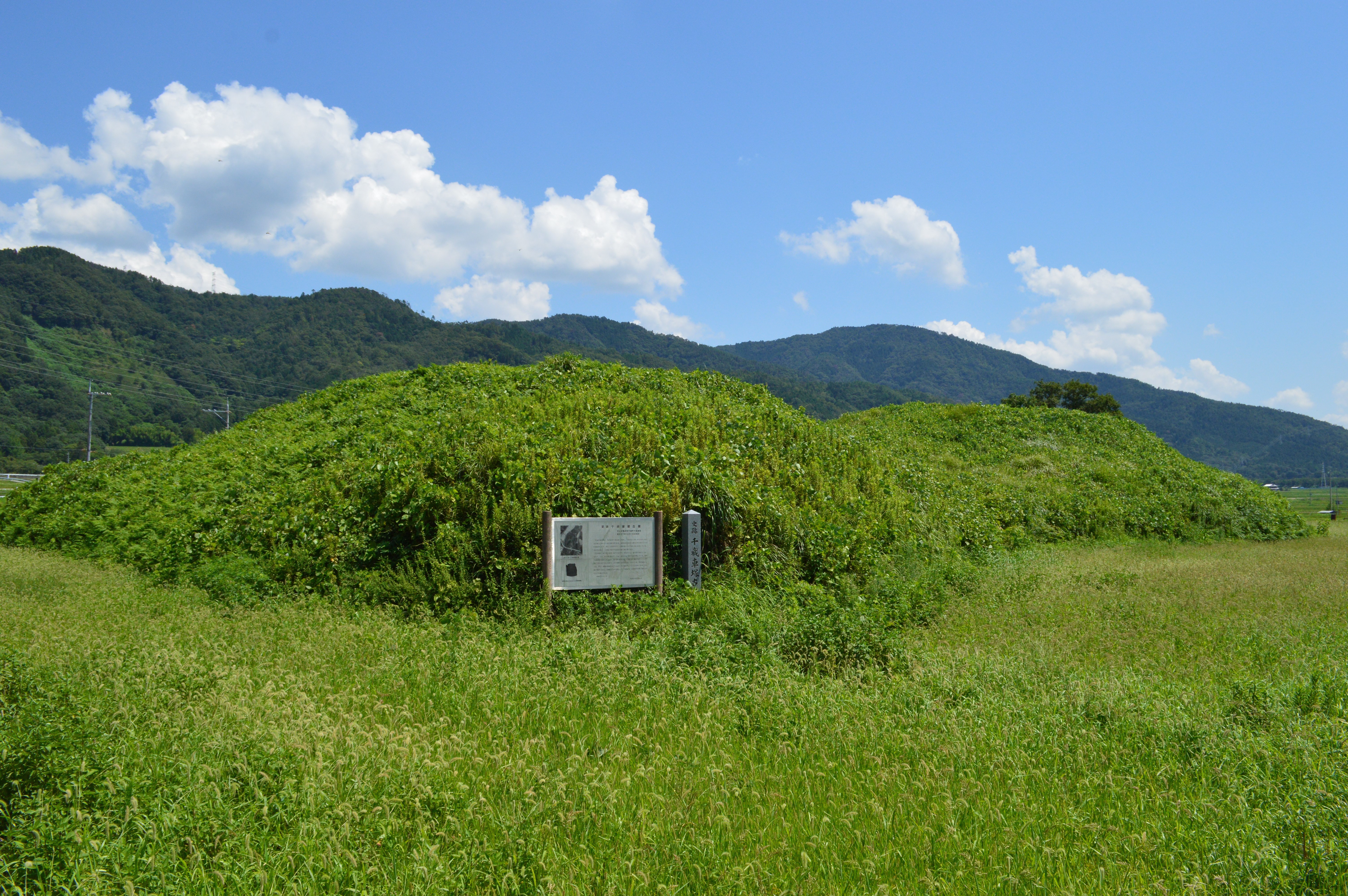
Chitose Kurumazuka Kofun
From the air, the shape is unmistakable: a keyhole stamped into the green hills northeast of the Kameoka Basin. One end is a perfect circle, the other a clean rectangle, and together they stretch 82 meters across a low ridge above the Oi River. The Chitose Kurumazuka Kofun has sat here since the first half of the 6th century, quietly holding the bones of someone powerful enough to command a tomb rivaling those of emperors. No one has ever opened its burial chamber. The dead have kept their secrets for fifteen hundred years.
A Keyhole for a King
The zenpokoenfun -- Japan's distinctive keyhole-shaped burial mounds -- are among the most remarkable funerary monuments ever conceived. The Chitose Kurumazuka Kofun is the largest in the entire Tamba region, originally measuring an estimated 88 meters in length. Its form breaks the usual conventions: the rectangular anterior portion, at 49 meters wide, actually exceeds the diameter of the posterior circular section. This asymmetry extends to the two concentric moats that once encircled the mound. For reasons archaeologists still cannot explain, these moats do not align symmetrically with the central axis of the tumulus. Traces of the inner moat remain visible on the ground today. The surface was once sheathed in fukiishi -- carefully placed stones that armored the earthen slopes -- and lined with rows of cylindrical haniwa, the hollow clay figures that stood sentinel over the dead across Kofun-period Japan.
Echoes of the Yamato Throne
What makes this mound truly remarkable is not its size but its connections. The design closely mirrors the Imashirozuka Kofun in Takatsuki, Osaka, which scholars believe is the actual burial place of Emperor Keitai, who ruled Japan in the early 6th century. Both tumuli date from the same era. Analysis of the clay used in the haniwa recovered from the Chitose Kurumazuka Kofun reveals they were manufactured at the Shinike Hanawa Production Site in Takatsuki -- the same workshops that supplied the imperial tomb. This shared provenance suggests that whoever lies beneath this mound was not merely a regional lord but someone within the orbit of the Yamato kingship itself, possibly a rival claimant or close relation to the throne. Local legend offers its own answer: the tomb belongs to King Yahiko, said to be the 14th-generation descendant of Emperor Chuai.
The Tamba Heartland
The Kameoka Basin, where the kofun stands, was a center of power in ancient Tamba Province. The tumulus occupies a small hill extending from Mount Inatsuki, positioned on the left bank of the Oi River with commanding views across the basin floor. This was not an arbitrary choice -- kofun builders selected sites for maximum visibility, ensuring the dead continued to dominate the landscape of the living. The surrounding area is dense with historical significance. Nearby stands Izumo-daijingu, the ichinomiya (highest-ranking shrine) of Tamba Province, along with the ruins of the Tanba Kokubun-ji and Tanba Kokubun-niji, the provincial temples that once anchored Buddhist authority across the region. The kofun was designated a Kameoka City Historic Site in 1970 before being elevated to a National Historic Site of Japan in 1982.
What the Earth Still Holds
The burial chamber of the Chitose Kurumazuka Kofun has never been excavated. Whatever treasures, weapons, mirrors, or remains lie within that sealed interior are known only to the soil. This restraint is itself a kind of statement -- Japan has increasingly chosen preservation over revelation at its most important archaeological sites, recognizing that the technology of tomorrow may answer questions that today's tools would destroy. The mound rises in three tiers on both its circular and rectangular portions, reaching 7.5 meters at its highest point. In spring, the grass is burned off the slopes, revealing the raw earthen contours that the builders shaped by hand a millennium and a half ago. For a brief period each year, the kofun sheds its green disguise and shows its true form: a monument built for someone who expected to be remembered forever, even if their name has been lost to time.
From the Air
Located at 35.057N, 135.571E in the Kameoka Basin, approximately 20km west of central Kyoto. The keyhole shape is best appreciated from directly overhead at 1,500-2,000 feet AGL. The mound sits on a ridge northeast of the basin floor, near the left bank of the Oi River. Nearest airport: Osaka International (Itami, RJOO) approximately 25nm southeast. Kansai International (RJBB) approximately 55nm south. The surrounding terrain is a mix of rice paddies and forested hills. Look for the distinctive rectangular-plus-circular outline on the ridge between Kameoka city and Mount Inatsuki.